A Bhutanese historical event
The First Five-Year Plan — Bhutan begins planned development, 1961-66.
In 1961 His Majesty the Third Druk Gyalpo Jigme Dorji Wangchuck launched Bhutan's First Five-Year Plan — a 107-million-ngultrum modernisation programme financed entirely by India, focused on building the road network that would end the country's centuries of valley-by-valley isolation. By the end of the five years (1966) more than 1,700 kilometres of roads had been built — the Phuentsholing-Thimphu, Trongsa-Gelephu, Tsirang-Sarpang and Trashigang-Samdrup Jongkhar routes. The Bhutan Government Transport Service was established in 1962; postage stamps were issued from 1962; a Health Department with three hospitals and eleven dispensaries operated by plan end. The First Plan is the founding act of the modern Bhutanese state.
1961 · Across the kingdom
- Year
- 1961
- Place
- Across the kingdom
- Register
- historical
- Also known as
- First Plan, FYP1, 1st Five Year Plan, 1961-66 Plan
The decision to plan
By 1960 His Majesty the Third Druk Gyalpo had been on the throne for eight years and had completed the foundational reforms of His reign — the abolition of slavery and serfdom (early 1950s), the founding of the Tshogdu (1953), the move of the capital from Bumthang to Thimphu (1952-53), the 1958 Nehru visit that opened the country diplomatically. The next institutional question was: how does a country that has been substantially closed for two centuries open economically without losing the cultural and religious framework that defines it? The answer was the Five-Year Plan structure — borrowed from the Indian model of planned economic development, adapted to Bhutanese constraints. The First Plan was prepared across 1960-61 in consultation with the Indian Planning Commission and launched in 1961.
The principal outlay — roads
The First Plan's outlay of 107 million ngultrum was financed in full by India. The dominant focus was the road network: Bhutan in 1961 had effectively no motorable roads connecting its valleys to each other or to India. By the end of the plan five years later, more than 1,700 kilometres of road had been built. The four principal axes were the Phuentsholing-Thimphu (the principal connection from Bhutan's southern Indian-border gateway up to the new capital), the Trongsa-Gelephu (linking the central kingdom to the south-central frontier), the Tsirang-Sarpang (the southern east-west corridor), and the Trashigang-Samdrup Jongkhar (linking eastern Bhutan to the Indian frontier). The road network created the institutional preconditions for everything that followed — the contemporary Bhutanese state operates within the geography these roads established.
The other principal initiatives
Beyond roads, the First Plan launched several principal institutions: the Bhutan Government Transport Service (1962, the country's first state transport agency, the principal long-distance bus operator across the subsequent decades); the first Bhutanese postage stamps (1962, both for postal use and as a substantial early source of foreign exchange — the Bhutanese stamps issued across the 1960s and 1970s, including the famous 3-D and silk and CD-ROM stamps, are widely collected internationally); a Health Department operating three hospitals and eleven dispensaries by plan end; the Geological Survey of India invited to undertake the first systematic mineral and resource survey of the country; the launch of the first modern educational institutions outside the existing monastic system. The combined effect was the institutional founding of the modern Bhutanese state — the country a visitor encounters today operates within the framework the First Plan established.
The plan sequence — to the present
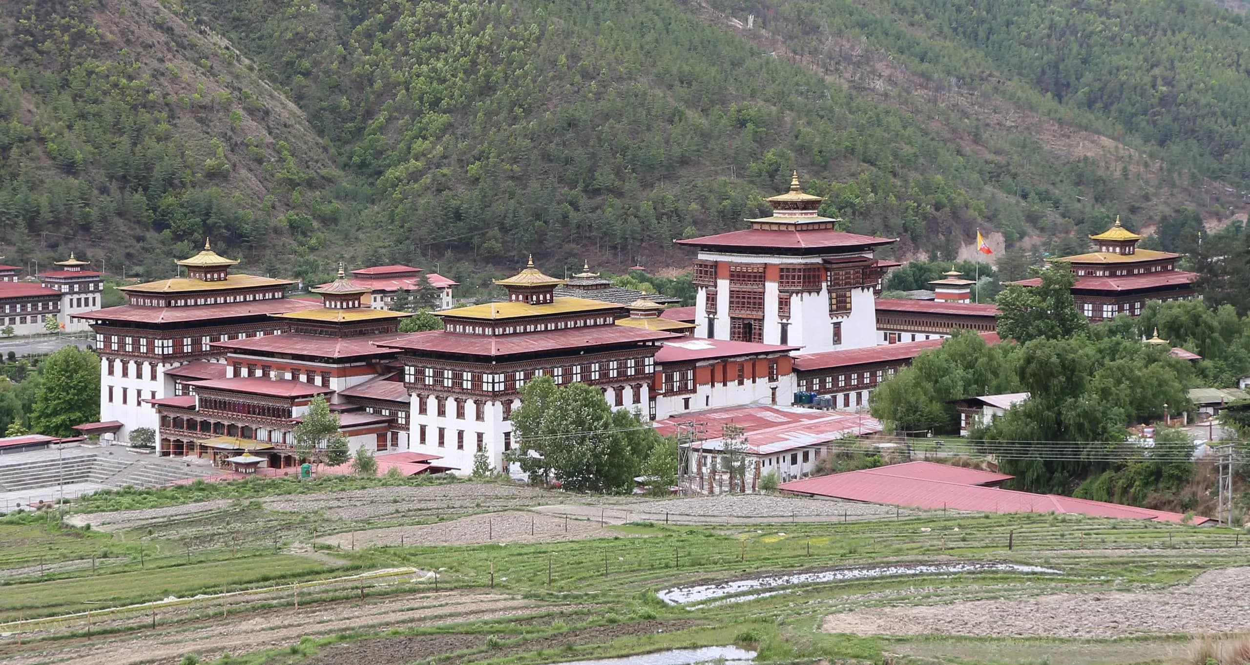
The First Plan was followed by the Second (1966-71, 202 million ngultrum, agricultural focus, end-of-plan 105 schools with 11,600 students and 6 hospitals), the Third (1971-76, 475 million ngultrum, first under the Planning Commission chaired by Crown Prince Jigme Singye Wangchuck, first UN support), and onwards across an unbroken sequence to the present. The contemporary plan structure (the 13th Five-Year Plan covers 2024-29) is the direct institutional continuity of the 1961 founding. The Tashichoedzong reconstruction (1962-69, seven years, thousands of workers from across the kingdom) was carried out under the First and Second Plans. The Bank of Bhutan was established in 1968 during the Second Plan — the institutional moment Bhutan transitioned from a substantially barter economy to a modern monetary economy. The five-year plan framework is the principal vehicle through which His Majesty the Third Druk Gyalpo's modernisation arc was, and continues to be, undertaken.
Who was there
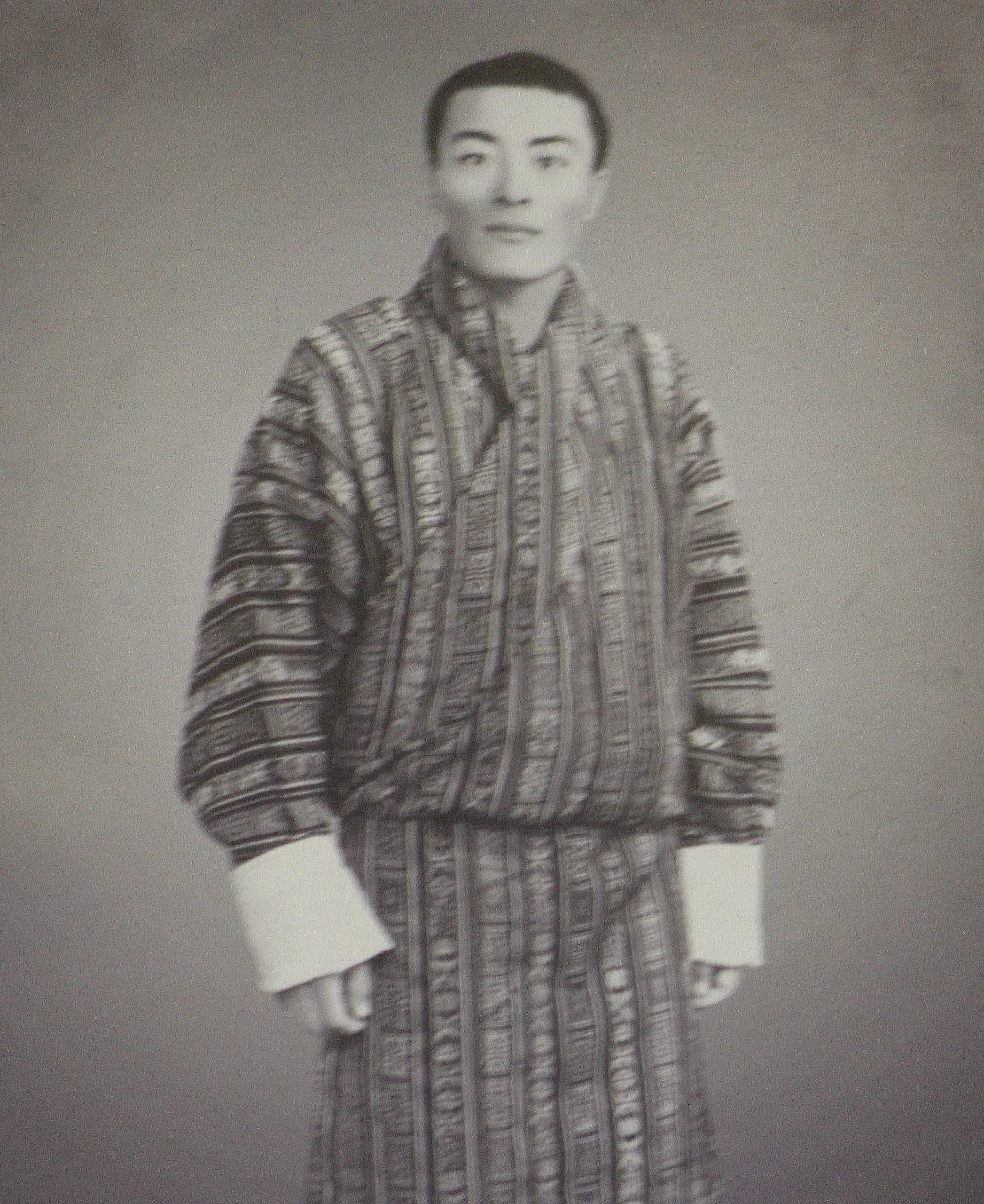 PersonHis Majesty Jigme Dorji Wangchuck — the Third Druk Gyalpo, the modernising king.His Majesty Jigme Dorji Wangchuck (1929-1972) — the Third Druk Gyalpo of Bhutan. The modernising king who abolished slavery, established the National Assembly, and led UN admission.
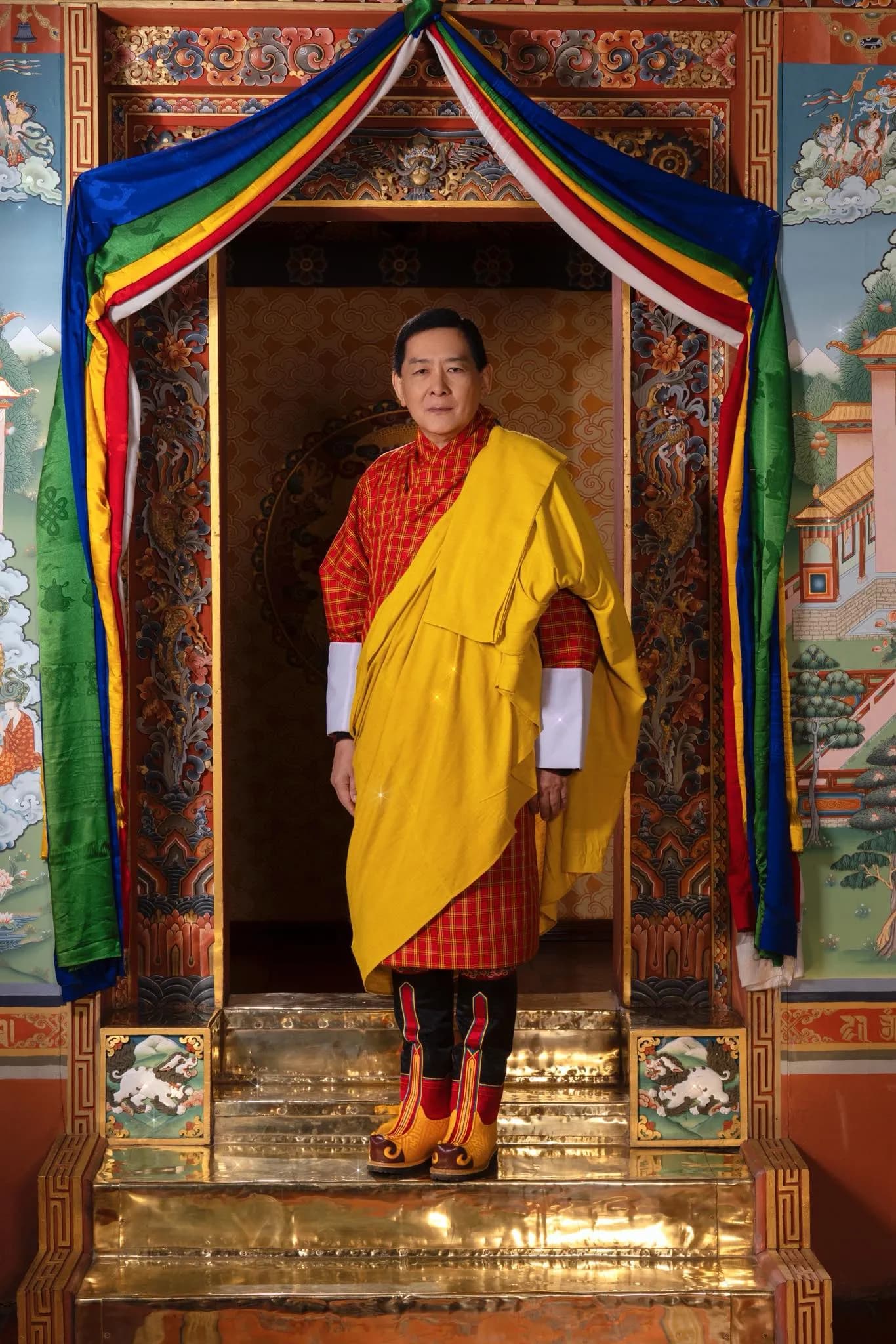 PersonHis Majesty Jigme Singye Wangchuck — the Fourth Druk Gyalpo, the King Father.His Majesty Jigme Singye Wangchuck — the Fourth Druk Gyalpo of Bhutan. Articulated Gross National Happiness, opened Bhutan to tourism, voluntary abdication 2006.
Where it stands now
What followed
- EventThe Founding of the Tshogdu — Bhutan's National Assembly, 1953.The Founding of the Tshogdu — Bhutan's National Assembly, established 1953 by His Majesty the Third Druk Gyalpo. The starting point of the constitutional-democracy arc.
- EventThe Abolition of Slavery and Serfdom — Bhutan's social revolution under His Majesty the Third Druk Gyalpo.The Abolition of Slavery and Serfdom — His Majesty the Third Druk Gyalpo's social reform of the 1950s. Bhutan's transformation into a structurally egalitarian society.
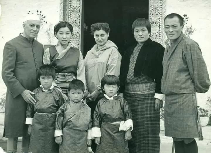 EventPrime Minister Nehru's Visit to Bhutan — the first foreign-state visit, 1958.Prime Minister Nehru's Visit to Bhutan — 1958. The first foreign-state visit; the diplomatic exchange that opened Bhutan to the 20th-century world.
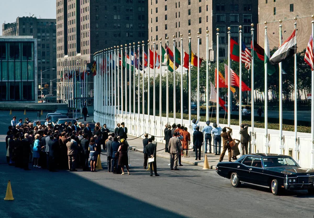 EventBhutan's admission to the United Nations on 21 September 1971.Bhutan's admission to the United Nations — 21 September 1971, under the Third Druk Gyalpo. The formal completion of Bhutan's emergence from self-isolation.
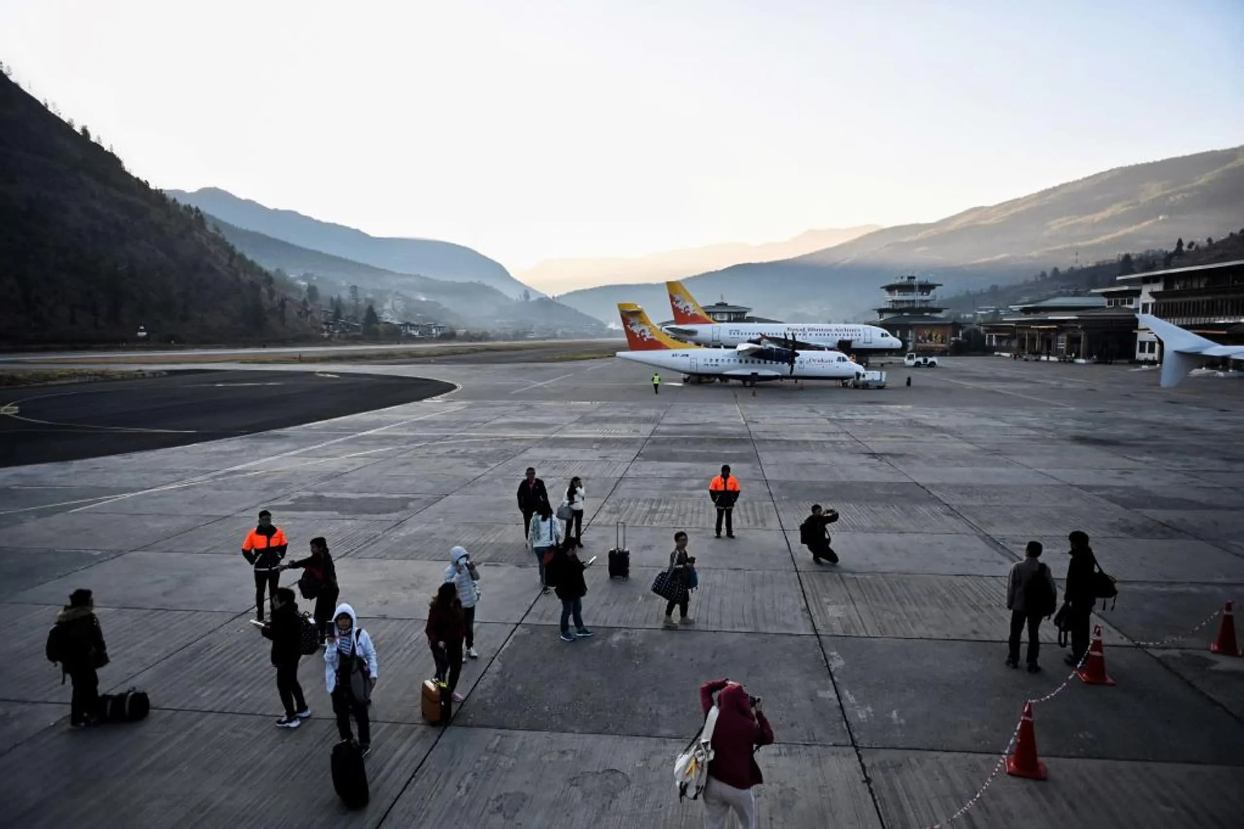 EventBhutan opens to international tourism — June 1974, around the Coronation of the Fourth King.Bhutan opens to international tourism — June 1974, around the Coronation of the Fourth King. The high-value-low-impact framework, the 200 inaugural visitors.
The wider idea
- ThemeThe Wangchuck dynasty — the hereditary monarchy of Bhutan since 17 December 1907.The Wangchuck dynasty — the hereditary monarchy of Bhutan since 17 December 1907. Five reigning monarchs across five generations. The contemporary state's institutional spine.
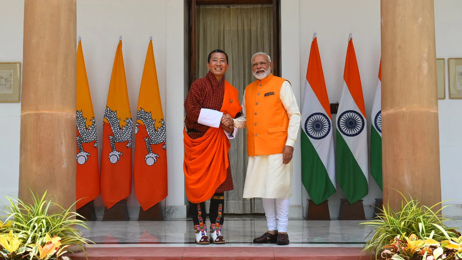 ThemeBhutan-India relations — the foundational bilateral relationship, the economic and security partnership.Bhutan-India relations — the foundational bilateral relationship. 1949 Treaty, hydropower partnership, ngultrum-rupee parity, the open border. The contemporary partnership.
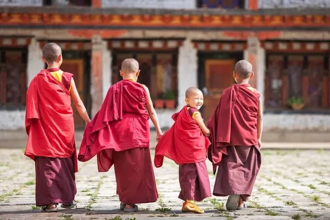 ThemeGross National Happiness — the framework that shapes the country a visitor encounters.Gross National Happiness — the Bhutanese development philosophy articulated by the Fourth Druk Gyalpo at His 1974 coronation as the first of nine guiding goals. Four pillars, nine measurement domains, constitutional grounding.
Journeys that touch this
Frequently asked
- Why was the First Plan entirely India-financed?
- Two principal reasons. First, Bhutan in 1961 had effectively no internal revenue base capable of supporting a modernisation programme of this scale — the annual British subsidy under the 1910 Treaty (and its 1949 Bhutan-India successor) was the principal external revenue stream, and the internal tax base was small. Second, the broader Bhutan-India strategic relationship under the 1949 Treaty made India the natural development partner; the financing arrangement was treated by both governments as the appropriate institutional vehicle for the bilateral cooperation framework Prime Minister Nehru had articulated in His 1958 Ugyen Pelri address. The pattern continues today — India remains by a substantial margin the principal external development partner of Bhutan.
- What is the contemporary Five-Year Plan?
- The 13th Five-Year Plan (covering 2024-29), prepared by the Gross National Happiness Commission (the institutional successor to the Planning Commission, which Crown Prince Jigme Singye Wangchuck had chaired from 1971). The plan is organised against the GNH framework — every major initiative is evaluated against the GNH nine domains. Visitors interested in the contemporary development arc will see the 13th Plan referenced across infrastructure signage, hydropower-project sites, the institutional architecture of the Bhutanese state. The 13th Plan is the 13th iteration in an unbroken sequence from the 1961 First Plan.
- Can a visitor see the legacy of the First Plan today?
- Everywhere. The Phuentsholing-Thimphu highway that brings visitors from the southern Indian border into the capital is the principal First Plan project. The Trongsa-Gelephu and Trashigang-Samdrup Jongkhar roads carry visitors who undertake the eastern and central Bhutanese circuits. The Bhutan Government Transport Service buses are visible on every major road. The Bhutanese postage stamps issued from 1962 are part of the philatelic register that visitors with an interest collect. The Tashichoedzong in Thimphu — reconstructed under the First and Second Plans across 1962-69 — is the principal building of the contemporary state and is open to visitors most days during the standard cultural tour.