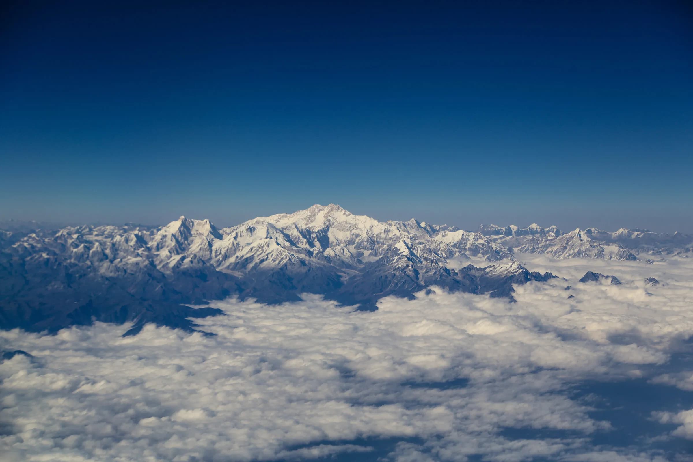
A Bhutanese dzongkhag
Chukha — the hydropower dzongkhag, the principal road from Phuentsholing to Thimphu.
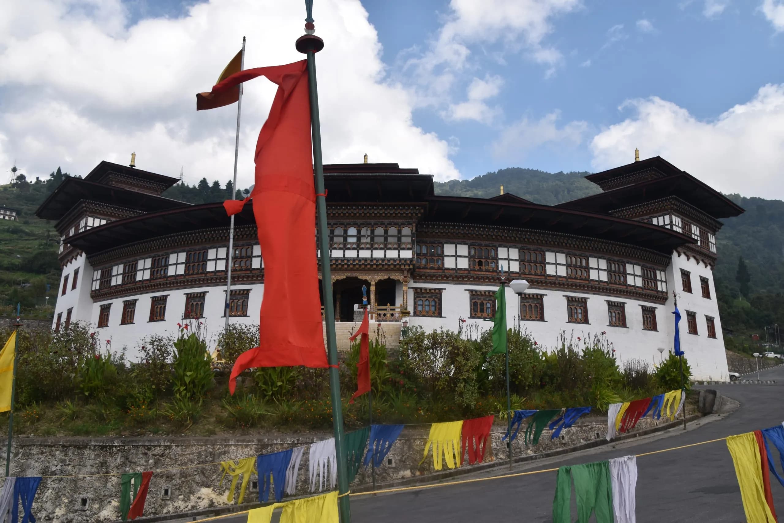
Chukha is the southern dzongkhag through which the principal road from Phuentsholing (the Bhutan-India border crossing) to Thimphu passes — most Indian visitors enter Bhutan through this corridor. The dzongkhag is the principal home of the Chukha Hydropower Project (336MW, completed 1986-88) — the foundational Bhutan-India hydropower partnership project. International visitors typically transit Chukha rather than dwelling here, but the dzongkhag's hydropower and Bhutan-India relationship tradition are foundational to the contemporary Bhutanese economy.
- District
- Chukha
- Altitude
- 2,200 m
- Kind
- dzongkhag
- Coordinates
- 27.090, 89.580
- Also known as
- Chukha Dzongkhag, Chhukha
The Chukha Hydropower Project
The Chukha Hydropower Project (336MW, completed 1986-88) was the foundational Bhutan-India hydropower partnership project. The project was financed through Indian government grant-and-loan support and constructed with Indian technical assistance; the electricity was sold principally to India under long-term power-purchase agreements. The project provided the principal early demonstration that Bhutanese hydropower could be developed at substantial scale through the Bhutan-India partnership framework; subsequent projects (Kurichhu 60MW, Tala 1020MW, Punatsangchhu I & II, Mangdechhu, Nikachhu) have followed the model that Chukha pioneered. The Chukha plant continues to operate today; the revenue-generation continues to be a principal contributor to the Bhutanese economy. See Bhutan-India relations for the broader bilateral context.
The principal road corridor
The road from Phuentsholing (the principal Bhutan-India border crossing on the southern border with Jaigaon, India) to Thimphu passes through Chukha dzongkhag — the principal access route into Bhutan by land for Indian-passport-holders. The drive is approximately 5-6 hours from Phuentsholing to Thimphu (155 km), climbing from the subtropical lowlands at the border (200m elevation) through the central Bhutanese hills to Thimphu (2,300m). The road is one of the more dramatic Himalayan-foothill drives — the elevation gain, the vegetation transitions, the principal Bhutanese rural-and-monastic landscape passing through. For non-Indian-passport international visitors, the Phuentsholing land border is not viable — international visitors fly into Paro.
What a visitor encounters
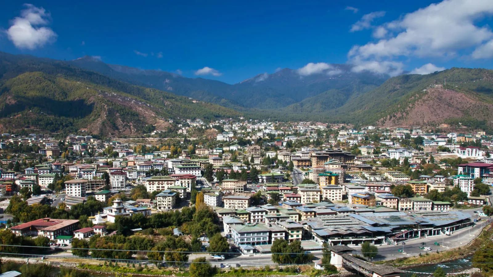
Chukha is principally a transit dzongkhag rather than a destination. Most international visitors do not stop in Chukha (the principal hydropower project is not a visitor site; the road corridor is the principal practical use). Indian-passport-holders entering Bhutan at Phuentsholing pass through Chukha on the principal Thimphu road; the overnight at Phuentsholing or Thimphu is the typical pattern rather than Chukha overnight. Cultural visits — the dzong-town tradition at Chukha is principally a contemporary commercial town; serious cultural visitors typically focus on the principal western circuit (Paro, Thimphu, Punakha, Phobjikha, Bumthang) rather than Chukha. The matched guide arranges the Phuentsholing-Thimphu transit register for Indian-passport-holding visitors as required.
Visiting
- Access — the principal southern road
- Chukha is accessed via the principal road from Phuentsholing north to Thimphu — approximately 2-3 hours from Phuentsholing to Chukha town, then 2-3 hours from Chukha to Thimphu. For international visitors not entering through Phuentsholing (i.e. the majority of international arrivals flying into Paro), Chukha is not on the typical visitor itinerary.
- Where to stay
- Standard government-rated hotels in Chukha town and along the principal road corridor. No premium-tier lodgings; the premium-lodge tradition operates further north (Paro, Thimphu, Punakha).
- Best window
- October-May for the principal road corridor (June-September monsoon can affect road conditions on the elevation transitions). The substantial transit experience is essentially weather-independent at the lower elevations but the higher-elevation segments are sensitive to monsoon conditions.
Where to go next
Journeys through here
Frequently asked
- Should international visitors plan time in Chukha?
- Typically no. Chukha is principally a transit dzongkhag for Indian-passport-holders entering Bhutan at Phuentsholing; the principal hydropower-and-road-corridor function is not a cultural destination. International visitors flying into Paro do not pass through Chukha. The matched guide briefs visitors on the dzongkhag's role where the Phuentsholing-Thimphu corridor is part of the trip.
- Is Chukha worth visiting for the hydropower interest?
- For visitors with serious interest in the Bhutan-India hydropower partnership, the matched guide can arrange a visit to the Chukha Hydropower Project facilities (typically requires substantial advance arrangement through the Royal Government). The matched guide briefs visitors on the industrial-tourism tradition where relevant; this is a specialised interest rather than typical cultural tourism.
- Why is Phuentsholing the principal border crossing?
- Phuentsholing sits opposite Jaigaon (West Bengal, India) at the southern Bhutan-India border; the commercial-and-transit infrastructure has developed at this crossing over decades. Other crossings (Gelephu in the south-central region, Samdrup Jongkhar in the south-east) operate but Phuentsholing is the principal Indian-visitor crossing point. For non-Indian-passport international visitors, all land borders into Bhutan are restricted; international visitors fly into Paro on Drukair or Bhutan Airlines. See Bhutan-India relations.