The geography of Bhutan
Valleys, dzongkhags, passes, and the sacred mountains.
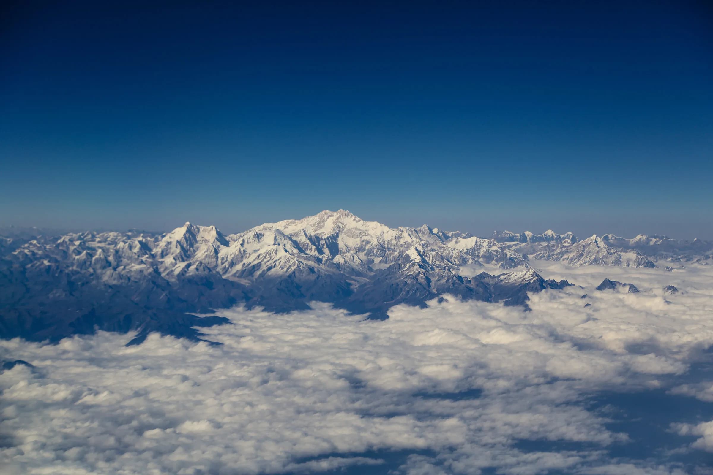
Bhutan is geography first: six principal valleys across the western and central circuits, twenty dzongkhags, several thousand metres of high pass between them, and the sacred peaks at the country's northern boundary. Below: every place we cover, ordered by elevation.
- Places
- 19
- Dzongkhags
- 17
- Highest point
- 2,900 m
All places, alphabetical
valley · Wangdue Phodrang · 2,900 m
Phobjikha
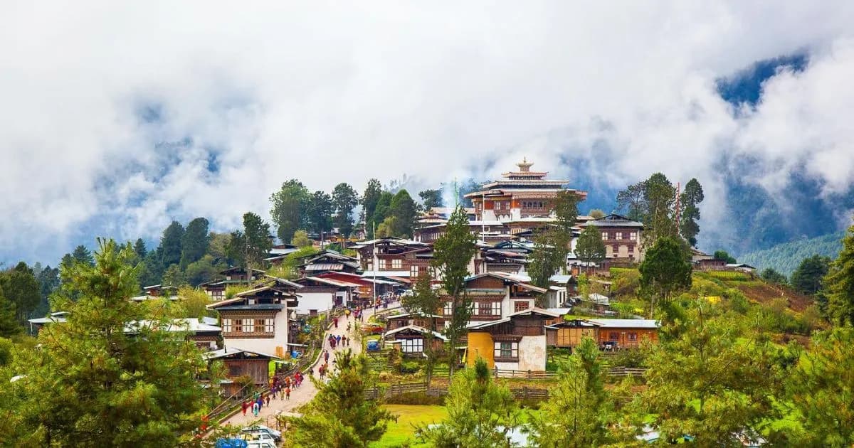
Phobjikha is a broad U-shaped glacial valley in the central Black Mountains at approximately 2,900 metres — one of the principal protected valleys in Bhutan and the wintering ground for several hundred black-necked cranes that arrive from the Tibetan plateau each late October. The valley is famously quiet: no overhead electric lines (buried underground to protect the crane flight paths), a small farming population, the high-altitude clarity, and a stillness that has no equivalent in the broader Himalayan region.
dzongkhag · Gasa · 2,800 m
Gasa
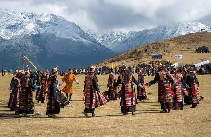
Gasa is Bhutan's principal northern dzongkhag — the country's least-densely-populated, most-mountainous district, bordering the Tibetan plateau across the high northern peaks. Gasa Tsachu (the hot springs) is the country's principal hot-springs pilgrimage site; the Layap yak-herding community at 3,800 metres maintains the distinctive Bhutanese highland; the Royal Highlander Festival each October celebrates the high-mountain communities.
dzongkhag · Haa · 2,700 m
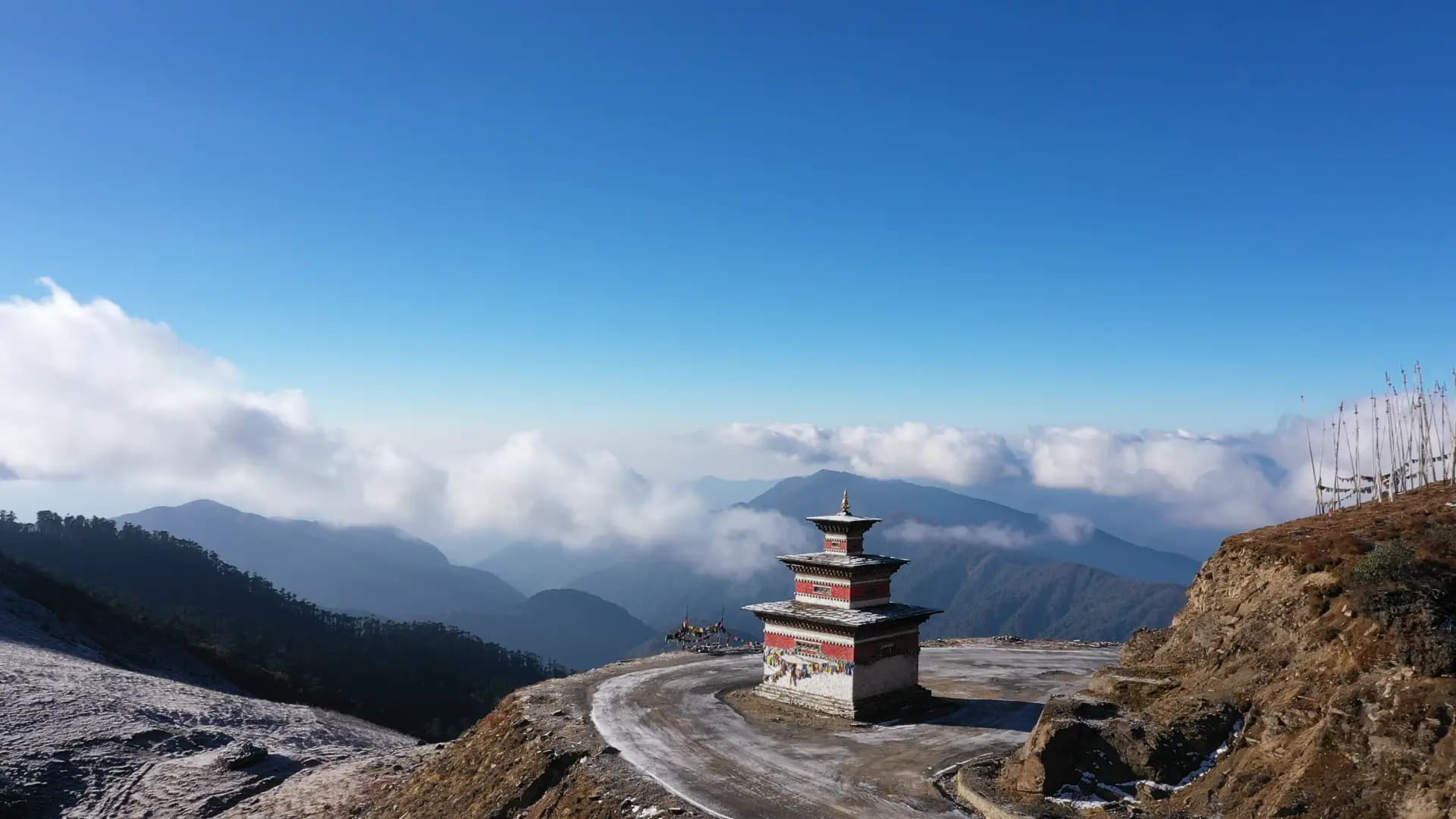
Haa
Haa is the westernmost dzongkhag of Bhutan, bordering the Chumbi valley of Tibet. The valley sits at approximately 2,700 metres — higher and narrower than Paro, with the highest motorable pass in the western country (Chele La at 3,810m) as its southern road. Haa was closed to international tourism until 2002; the off-circuit tradition is its principal appeal. Visitors to Haa encounter Bhutan with substantially fewer other visitors than the Western circuit valleys.
region · Bumthang · 2,600 m
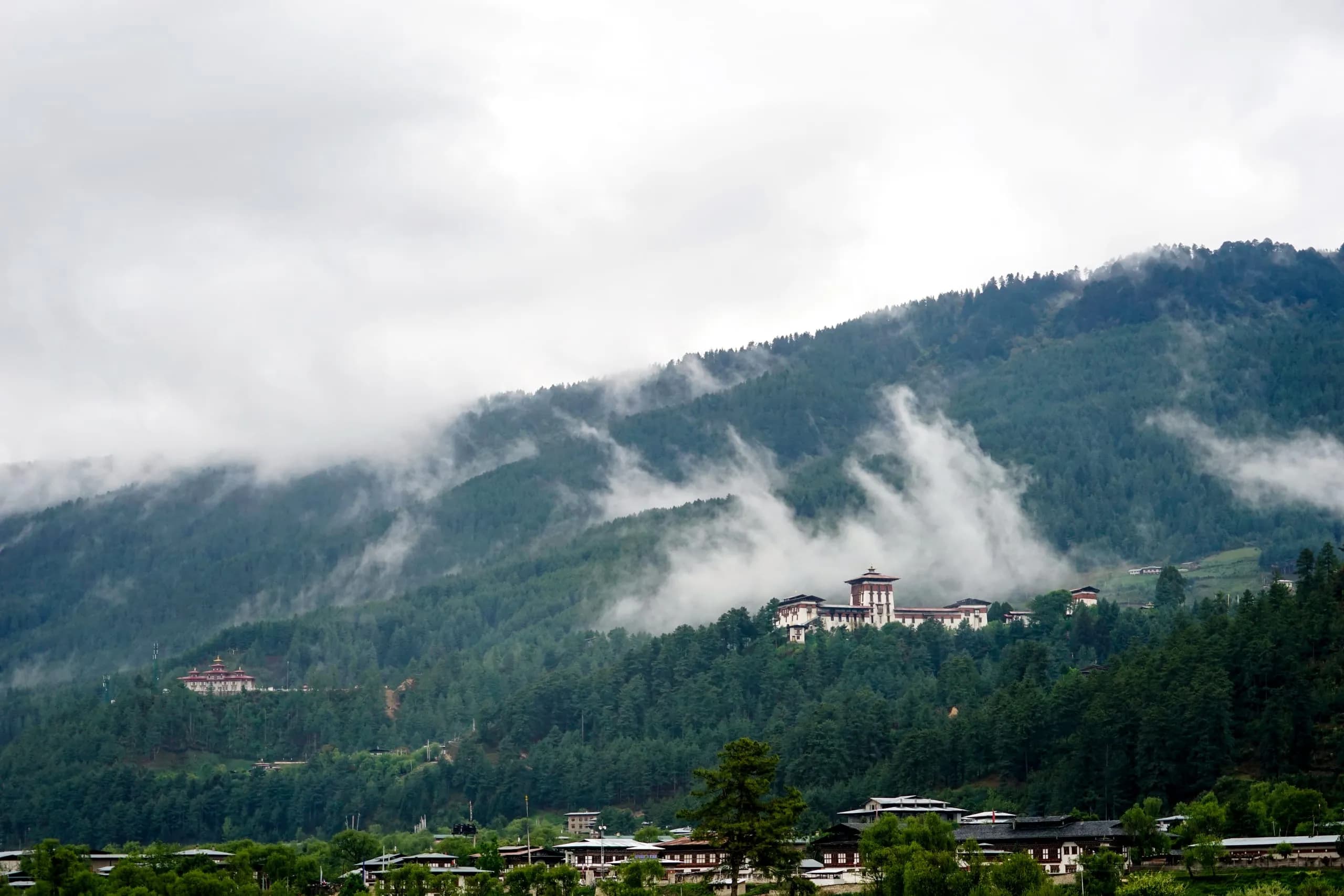
Bumthang
Bumthang is Bhutan's spiritual heartland — the four central valleys (Choekhor, Tang, Chumey, Ura) at approximately 2,600-3,200 metres, containing the country's most concentrated single area of important Buddhist sites and the seat of the Pema Lingpa treasure-revealer tradition. The dzongkhag carries the densest cultural-religious content per square kilometre of any region in Bhutan; for visitors with serious cultural-religious interest, Bumthang is the destination.
town · Bumthang · 2,600 m
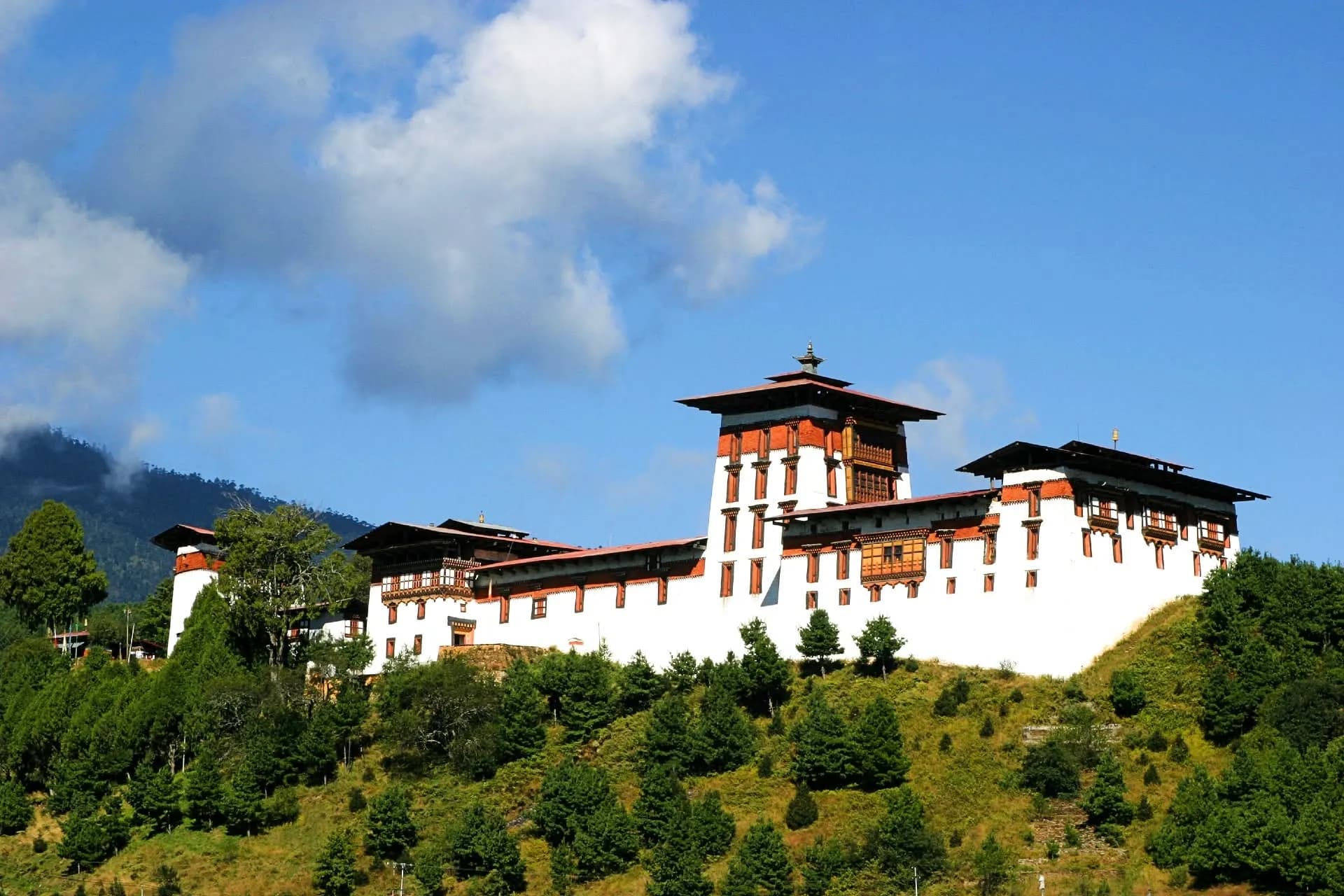
Jakar
Jakar is the principal town of the Bumthang dzongkhag — sitting on the valley floor of the Choekhor (the principal Bumthang valley) at approximately 2,600 metres. The town is the natural base for visitors exploring the Bumthang religious circuit; the Jakar Dzong on the ridge above town is the dzongkhag's administrative and religious seat. Small in scale (population approximately 2,500) but rich in cultural and historical content.
dzongkhag · Thimphu · 2,320 m
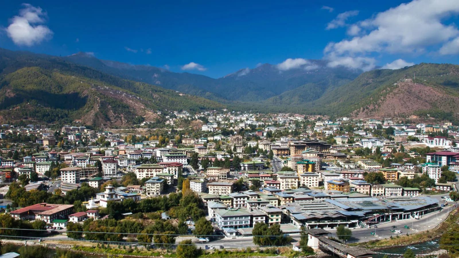
Thimphu
Thimphu is Bhutan's capital and the country's only city of any meaningful scale — the seat of the Royal Government, the Zhung Dratshang (the central monk body) in summer, the National Assembly, and the principal civic-cultural institutions. The city sits in the Wang Chhu valley at approximately 2,320 metres, an hour's drive from Paro. For a country its size, Thimphu carries an unusual register of unhurried civic life.
dzongkhag · Paro · 2,250 m
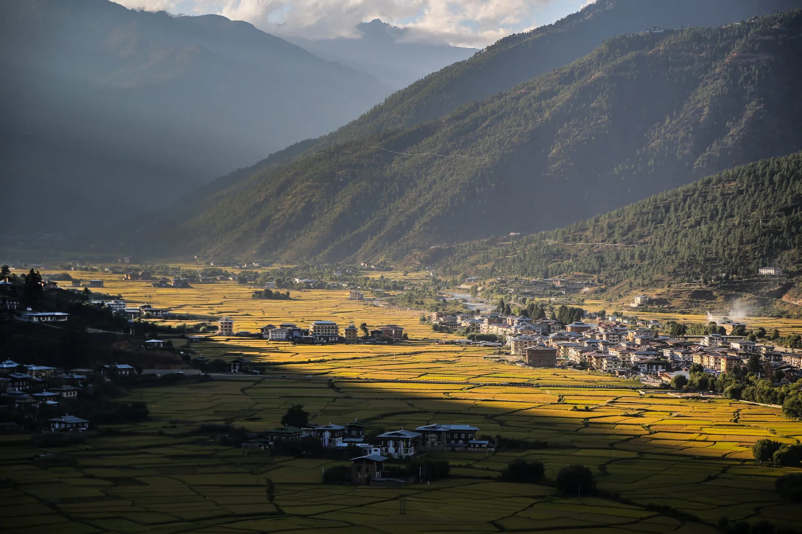
Paro
Paro is Bhutan's primary point of arrival, the country's only international airport, and the valley around which most first-time visitor itineraries are anchored. Home to Paro Taktsang (the Tiger's Nest) — Guru Rinpoche's most famous meditation site, and the image most strongly associated with Bhutan in the wider world. To arrive in Bhutan is, in nearly every case, to arrive in Paro, and to find the country composed in its very first valley with a kind of quiet completeness.
dzongkhag · Chukha · 2,200 m
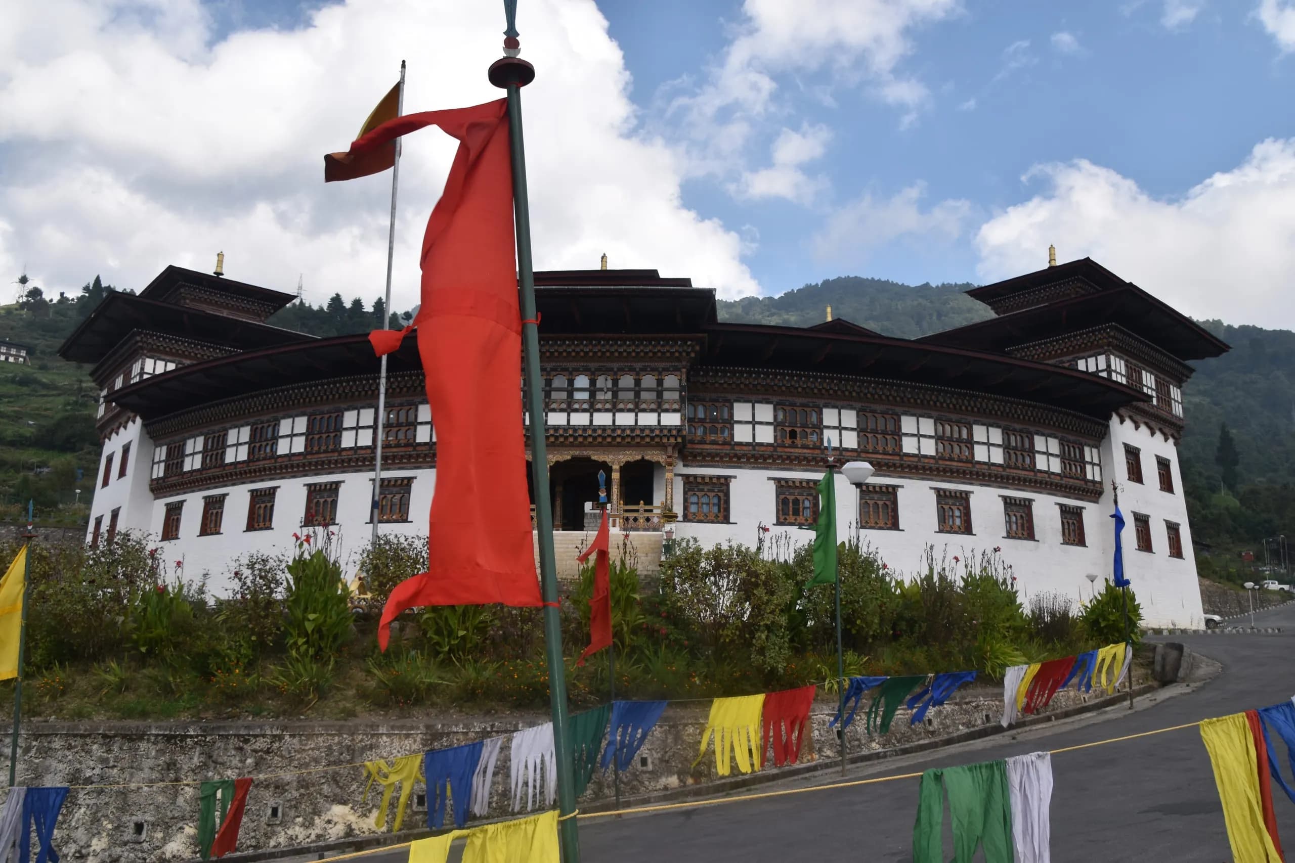
Chukha
Chukha is the southern dzongkhag through which the principal road from Phuentsholing (the Bhutan-India border crossing) to Thimphu passes — most Indian visitors enter Bhutan through this corridor. The dzongkhag is the principal home of the Chukha Hydropower Project (336MW, completed 1986-88) — the foundational Bhutan-India hydropower partnership project. International visitors typically transit Chukha rather than dwelling here, but the dzongkhag's hydropower and Bhutan-India relationship tradition are foundational to the contemporary Bhutanese economy.
dzongkhag · Trongsa · 2,200 m
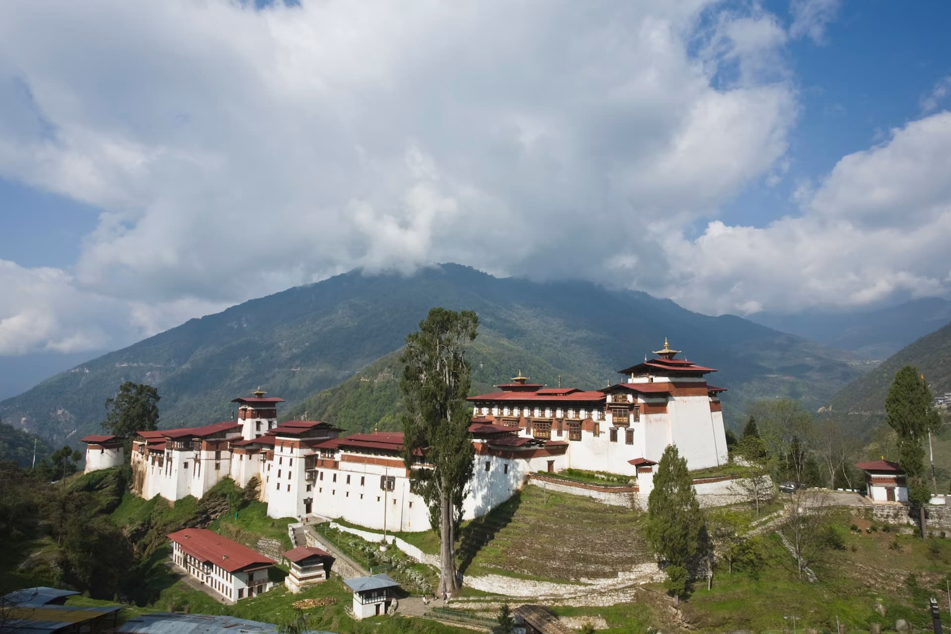
Trongsa
Trongsa sits on the central transverse spur between western and eastern Bhutan — the natural east-west road passes through here, and the strategic position made Trongsa Dzong the principal political seat from the 17th century onward. Trongsa Penlop (governor of Trongsa) was the most powerful provincial title in the country; His Majesty Ugyen Wangchuck, the first King of Bhutan, was Trongsa Penlop before his coronation in 1907. The dzongkhag remains the ancestral home of the Wangchuck royal dynasty.
dzongkhag · Zhemgang · 1,900 m
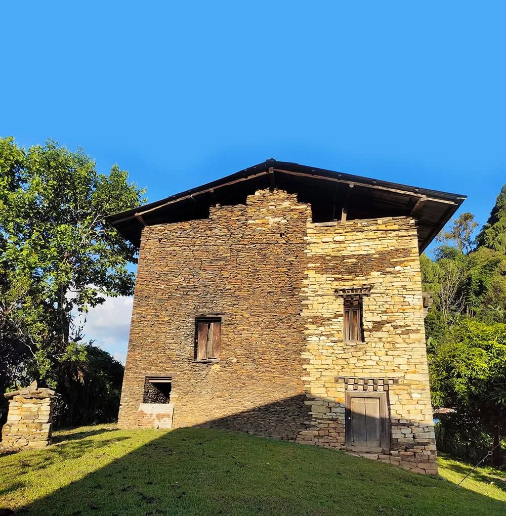
Zhemgang
Zhemgang is the south-central Bhutanese dzongkhag — one of the wildest and most-forested regions of the country, the principal access route to Royal Manas National Park (the principal Bhutanese subtropical-lowland protected area), and the home of the most Bhutanese broadleaf-forest. The dzongkhag is principally accessed for visitors with serious wildlife, birding, or wilderness interest; the dzongkhag-and-cultural context is less developed than the principal western and central Bhutanese circuits. The Royal Manas access alone makes Zhemgang one of the more rewarding dzongkhags for serious conservation-interested visitors.
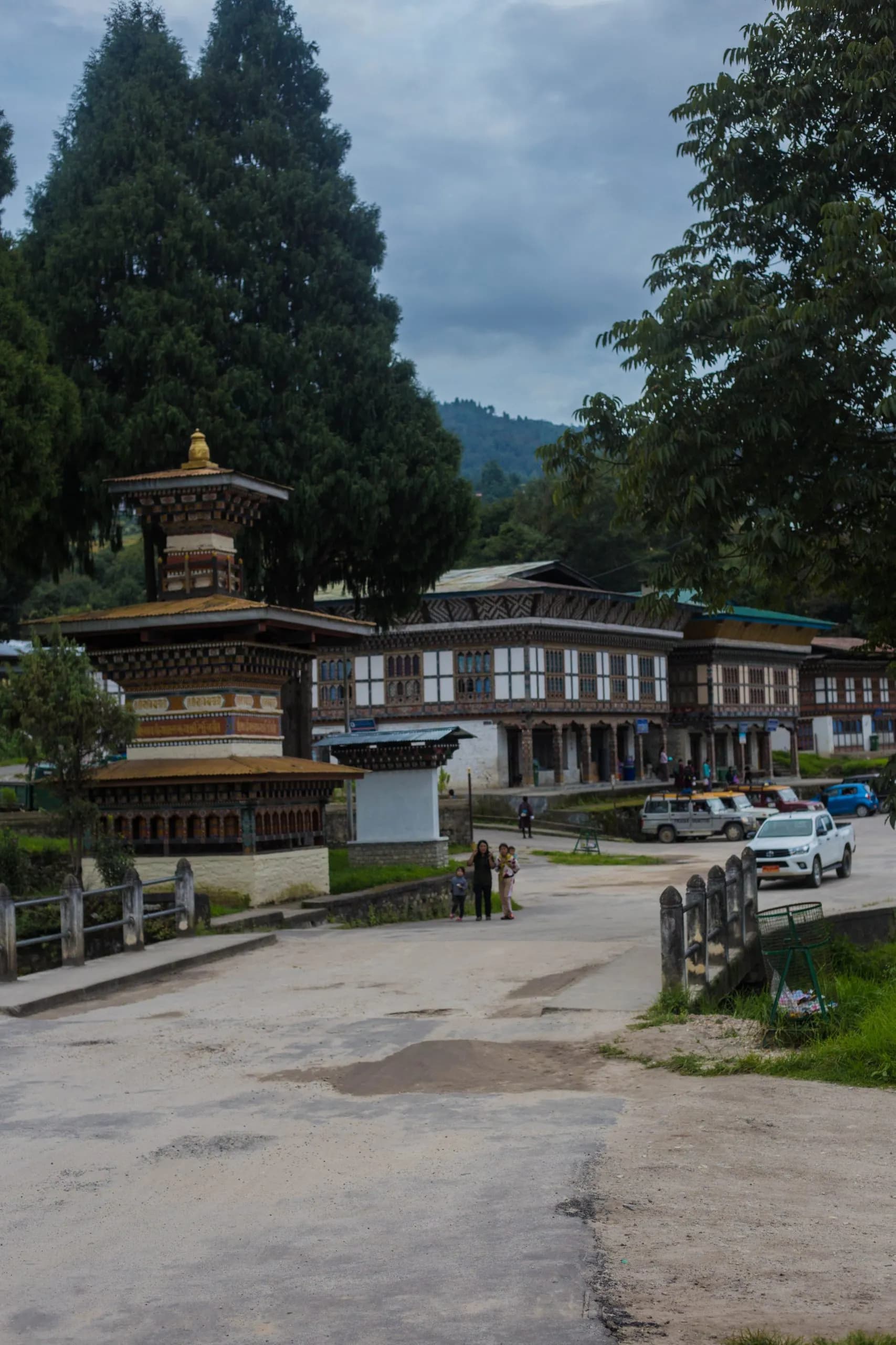
dzongkhag · Trashiyangtse · 1,750 m
Trashiyangtse
Trashiyangtse is the northern eastern Bhutanese dzongkhag — the principal home of the Chorten Kora pilgrimage (the Nepalese-style stupa, one of the most-distinctive Bhutanese religious monuments), the alternative crane-wintering site at Bumdeling Wildlife Sanctuary (the second-most-substantial black-necked crane population after Phobjikha), and the principal centre of Bhutanese woodturning and traditional paper craft. The dzongkhag is one of the more rewarding cultural-and-natural sites in the eastern circuit.
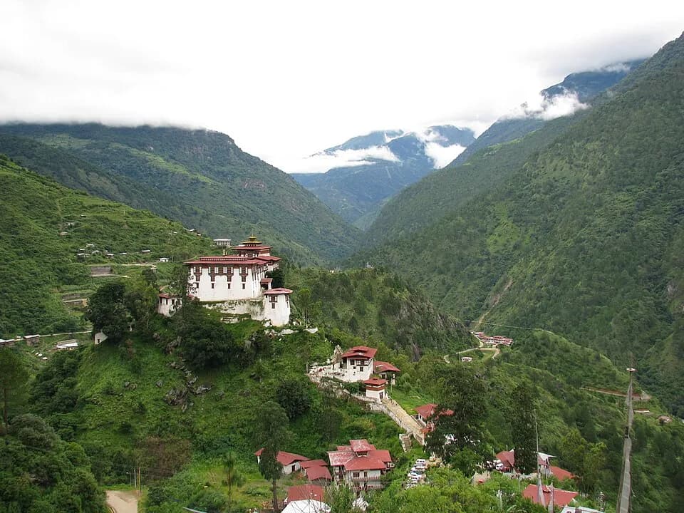
dzongkhag · Lhuentse · 1,700 m
Lhuentse
Lhuentse is one of the more remote and culturally Bhutanese dzongkhags — the eastern silk-weaving heartland (the kishuthara tradition, the most-prized Bhutanese textile form), the ancestral home region of the Wangchuck dynasty (the royal family traces its origins through Kurtoe), the principal location of the Khoma valley's master weavers. Lhuentse Dzong sits dramatically on a high spur above the Kuri Chhu river. Access is by long road from Mongar; the cultural-textile tradition makes the journey rewarding for visitors with serious interest.
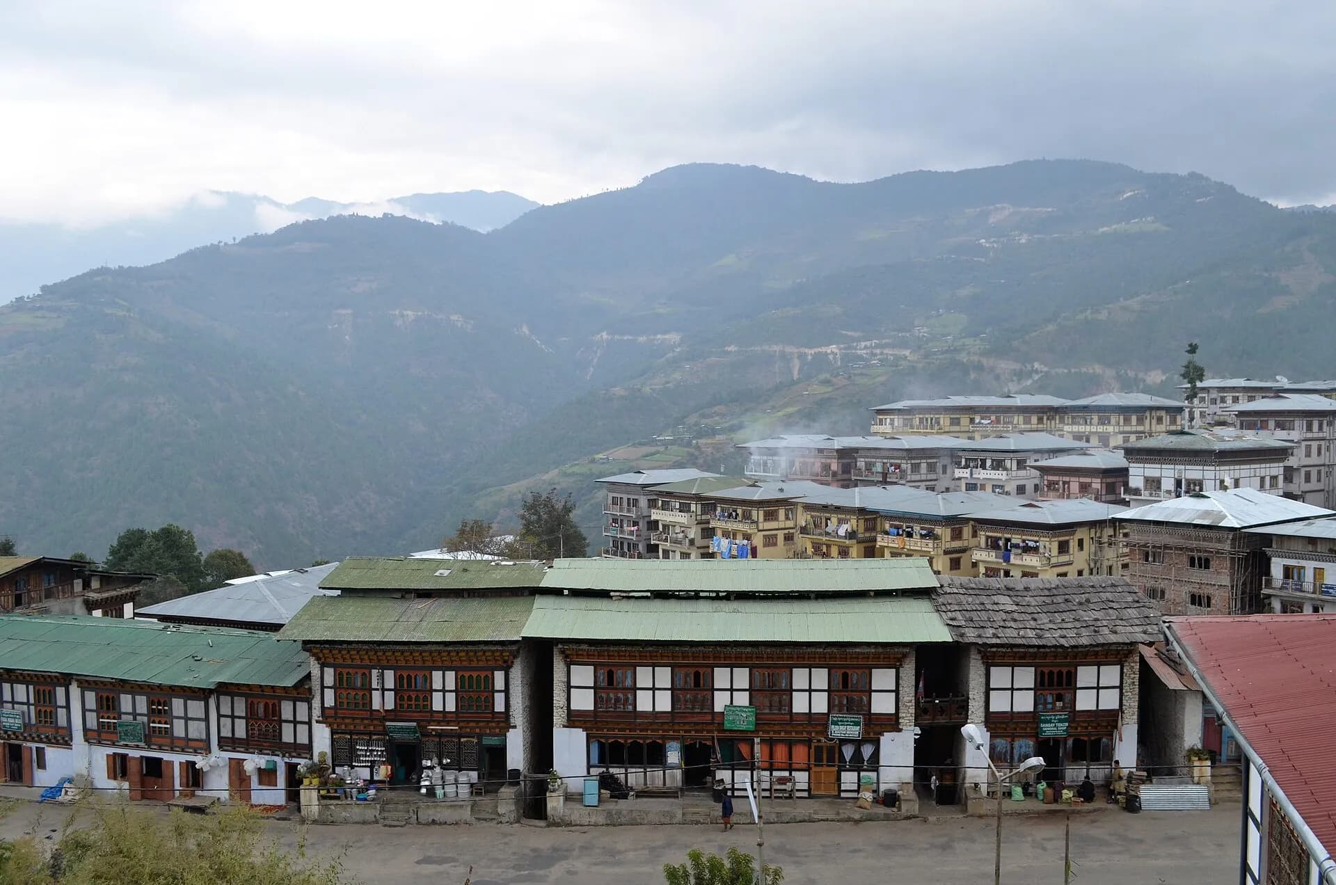
dzongkhag · Mongar · 1,600 m
Mongar
Mongar is the principal anchor of the eastern Bhutanese circuit — the dzongkhag through which routes branch north to Lhuentse, east to Trashigang and Trashiyangtse, and south to Royal Manas. The Yongkola road corridor south of Mongar town is one of the most-acclaimed mid-elevation birding transects in the world. Mongar Dzong is one of the youngest in the country (built 1930) but architecturally substantial. The dzongkhag is the practical base for visitors travelling the eastern circuit.
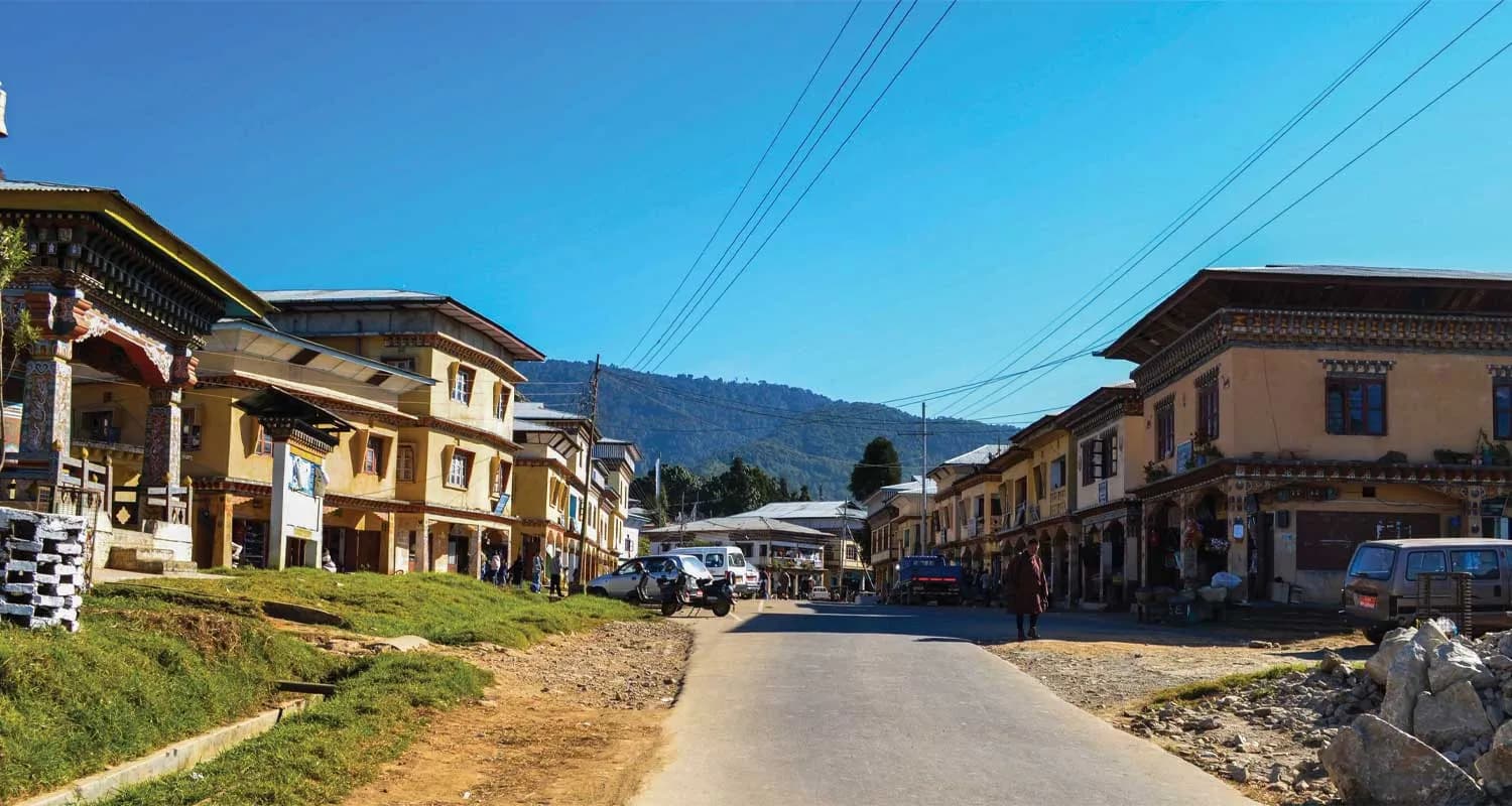
dzongkhag · Tsirang · 1,500 m
Tsirang
Tsirang is the south-central Bhutanese dzongkhag — one of the more agriculturally productive regions of the country, with the citrus belt (oranges, mandarins, lemons), the cardamom-and-areca cultivation, and the gentle southern-hill landscapes that contrast with the dramatic high-Himalayan terrain of the western and northern dzongkhags. The dzongkhag is not on the typical western-circuit international visitor itinerary but is one of the principal central Bhutanese agricultural anchors and is visited principally by visitors with serious agricultural interest or south-central Bhutan focus.
dzongkhag · Wangdue Phodrang · 1,240 m
Wangdue Phodrang
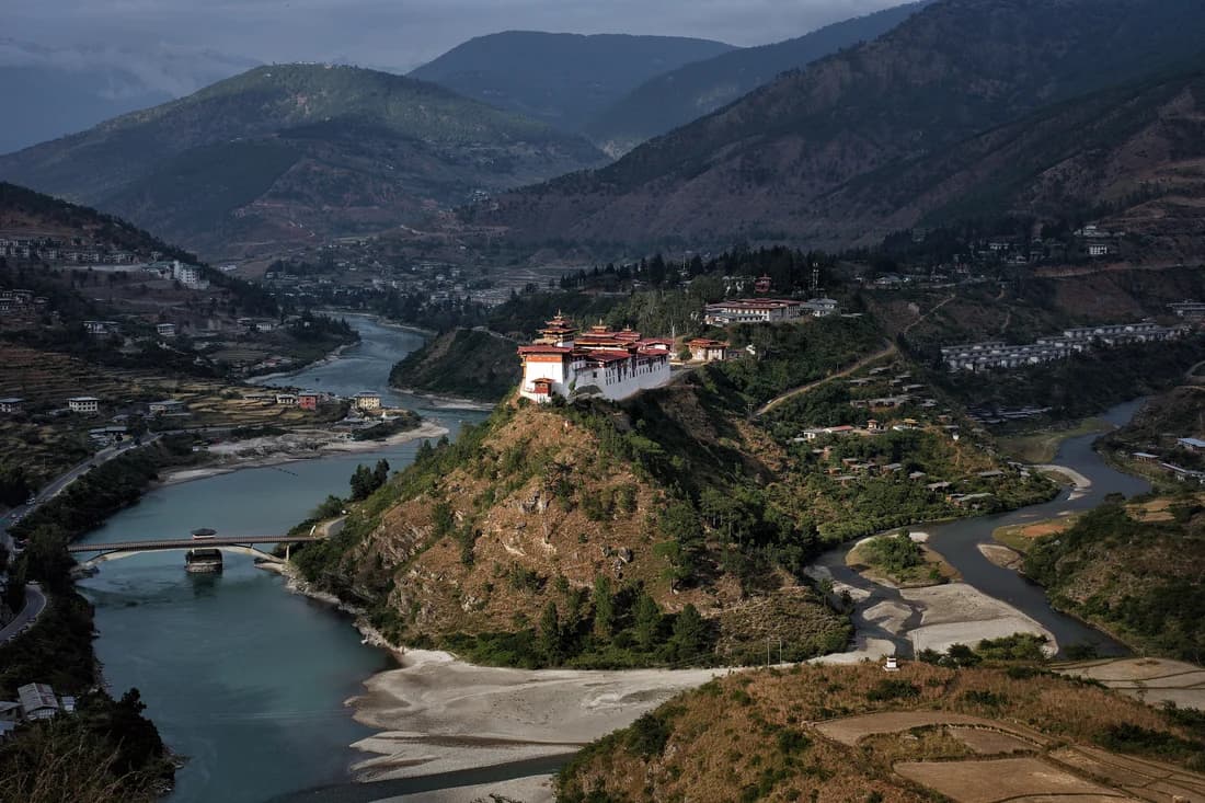
Wangdue Phodrang is the dzongkhag between Punakha and Phobjikha — the principal western road from Thimphu and Punakha east toward Trongsa and Bumthang passes through it. The substantial Wangdue Phodrang Dzong, founded by the Zhabdrung in 1638 and destroyed by fire in 2012, is in the closing phase of reconstruction under the royal-government-led restoration programme. The dzongkhag is the western gateway to the central Bhutanese circuit.
dzongkhag · Punakha · 1,200 m
Punakha
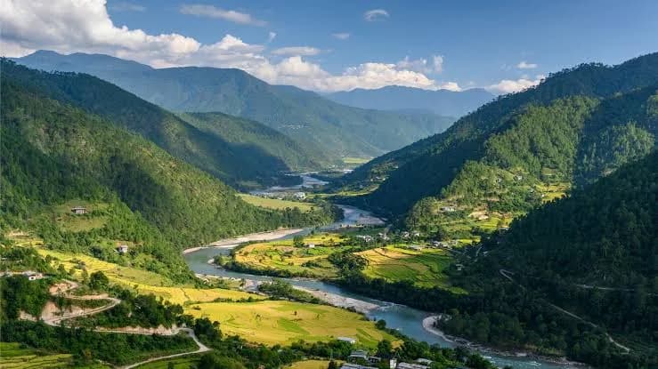
Punakha is Bhutan's historical winter capital — the seat of the Royal Government and the Zhung Dratshang during the cold months from the 17th century until 1955, and the warmest of the major Bhutanese valleys at approximately 1,200 metres. The Punakha Dzong, at the confluence of the Mo Chhu and Pho Chhu rivers, is widely considered the country's most beautiful dzong. The jacaranda flowering in spring and the mild winter climate give the valley a distinct atmospheric register.
dzongkhag · Trashigang · 1,100 m
Trashigang
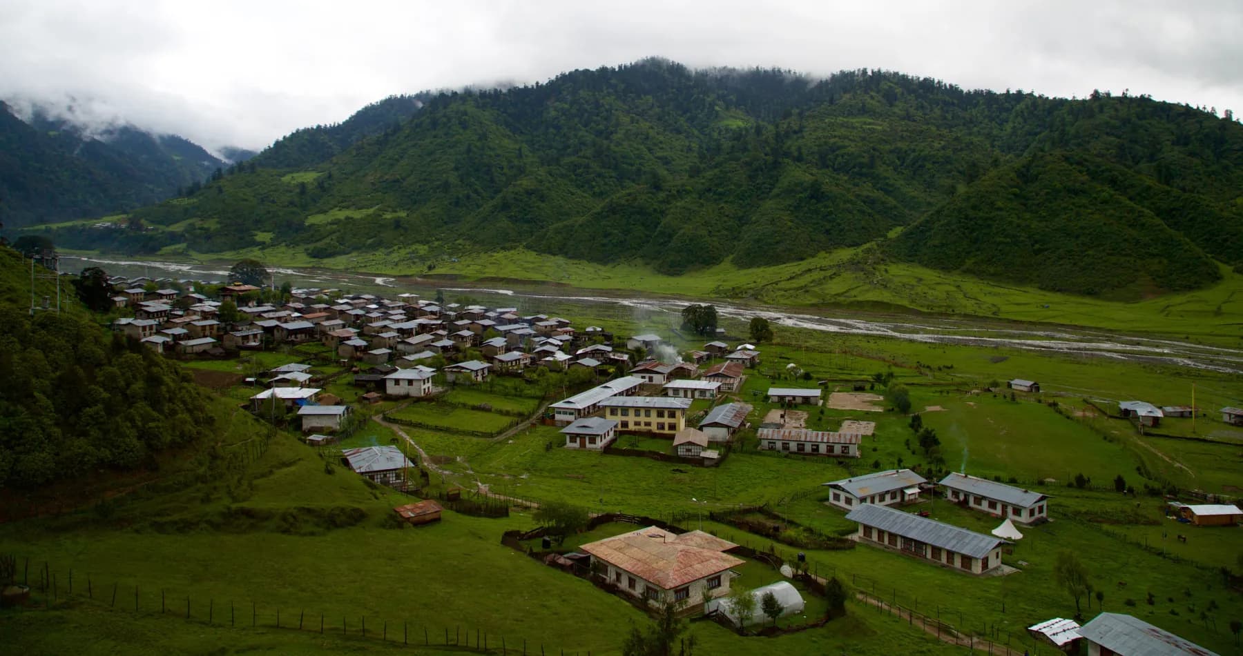
Trashigang is the easternmost of the substantial Bhutanese dzongkhags — the cultural-and-commercial anchor of far-eastern Bhutan, the gateway to Sakteng (the eastern semi-nomadic Brokpa community), and the principal base from which the eastern Bhutanese circuit operates. Trashigang Dzong sits dramatically on a spur above the confluence of the Drangme Chhu and the Gamri Chhu; the dzongkhag is the foundation of eastern Bhutanese cultural distinctiveness.
region · Sarpang · 221 m
Gelephu Mindfulness City
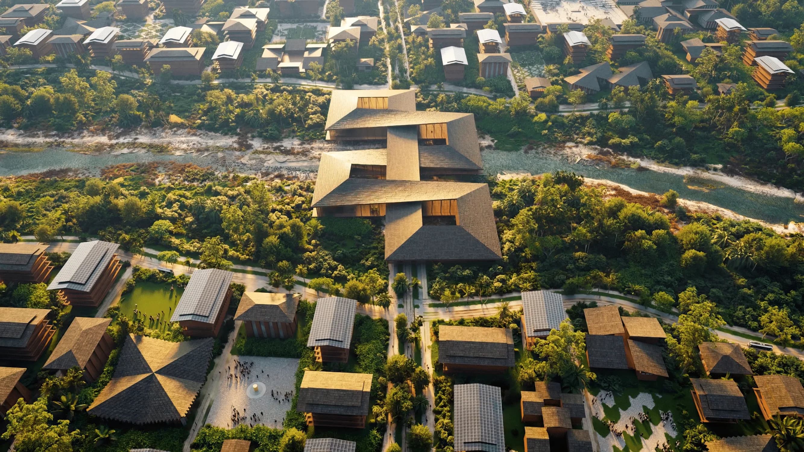
Gelephu Mindfulness City (GMC) is Bhutan's ambitious new Special Administrative Region on the country's southern border with Assam, India. Conceived as a new model for mindful, sustainable development, GMC will combine Bhutanese culture and spirituality with business, technology, healthcare, education, green energy and international connectivity. The vision is taking shape, but much of the city visitors see in architectural renderings is still planned or under development. That distinction matters: official material describes ongoing master planning, infrastructure, housing, environmental works and development of Gelephu International Airport rather than a completed destination.
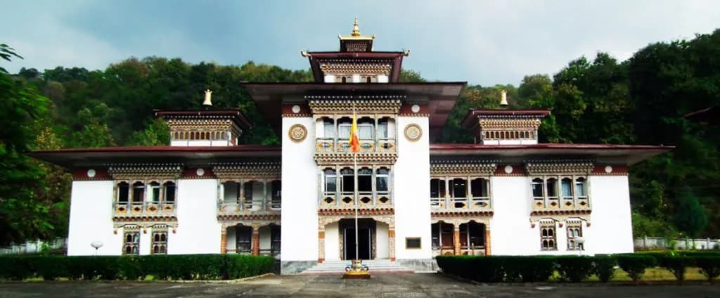
dzongkhag · Samdrup Jongkhar · 220 m
Samdrup Jongkhar
Samdrup Jongkhar is Bhutan's south-eastern dzongkhag — the principal eastern Bhutan-India border-crossing point at Samdrup Jongkhar town, opposite Darranga (Assam, India) on the lowland border. The dzongkhag is the eastern counterpart to Phuentsholing in the south-west (the principal western border crossing); the eastern road from Samdrup Jongkhar north to the principal eastern Bhutanese dzongkhags (Trashigang, Mongar, Bumthang) is the principal alternative routing for visitors with eastern-Bhutan focus. The dzongkhag itself is principally a transit-and-commerce anchor rather than a visitor destination.