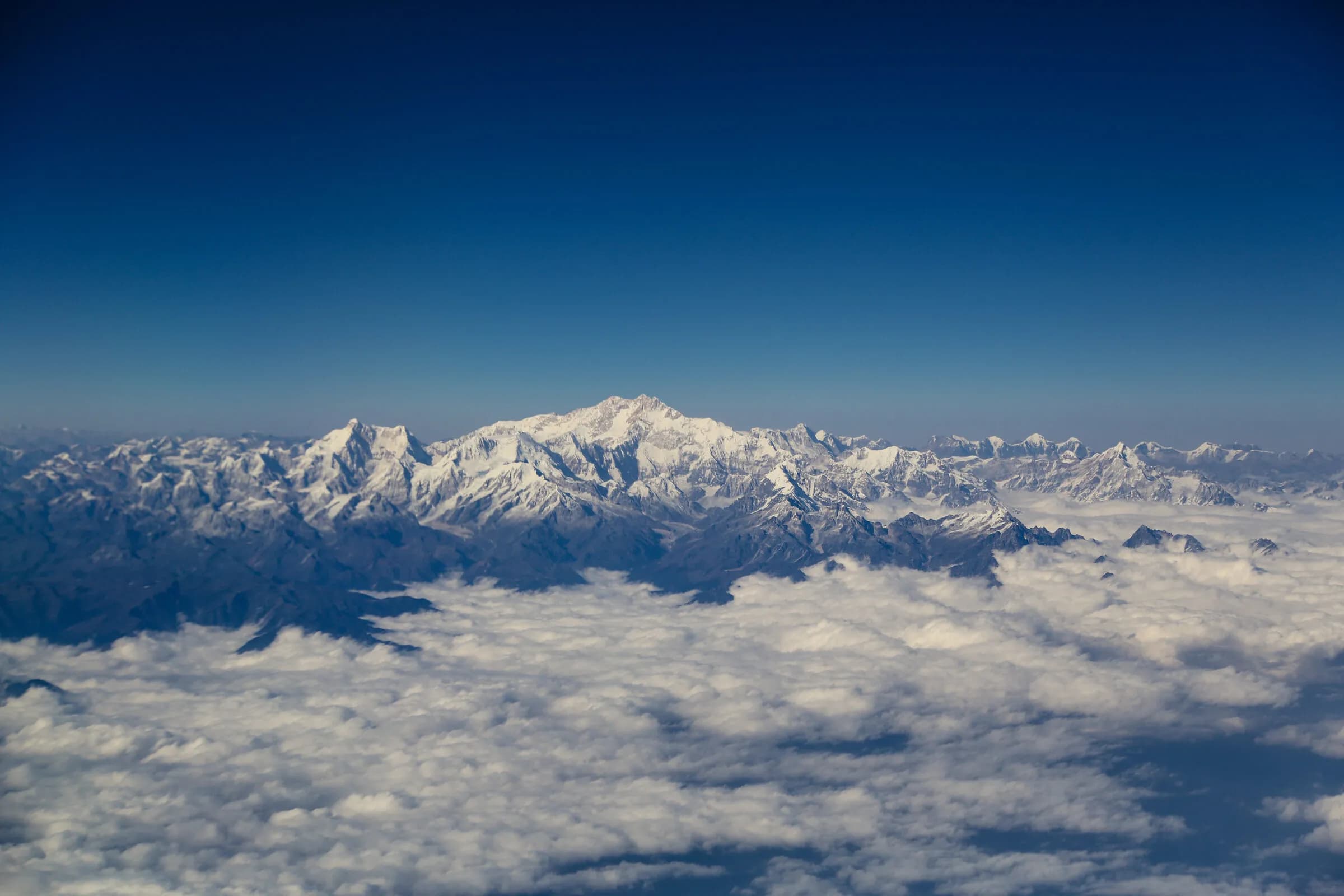
A Bhutanese valley
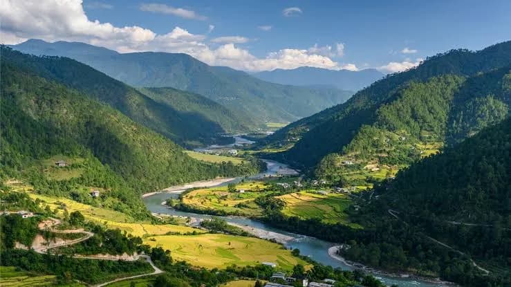
Punakha — the warm valley, the country's historical winter capital, the Mo Chhu and Pho Chhu confluence.
Punakha is Bhutan's historical winter capital — the seat of the Royal Government and the Zhung Dratshang during the cold months from the 17th century until 1955, and the warmest of the major Bhutanese valleys at approximately 1,200 metres. The Punakha Dzong, at the confluence of the Mo Chhu and Pho Chhu rivers, is widely considered the country's most beautiful dzong. The jacaranda flowering in spring and the mild winter climate give the valley a distinct atmospheric register.
- District
- Punakha
- Altitude
- 1,200 m
- Kind
- dzongkhag
- Coordinates
- 27.592, 89.880
- Also known as
- Punakha Dzongkhag, Punakha Valley
The warm-valley register
Punakha sits at approximately 1,200 metres — about 1,000 metres lower than Paro or Thimphu — and the climate is correspondingly warmer. Winter days are sunny and mild (typically 15-22°C even in January); summer is hot and humid. This climatic difference is the historical reason the Royal Government and the Zhung Dratshang relocated to Punakha for the winter months from the 17th century until 1955, when the modern capital was established at Thimphu. The Zhung Dratshang continues the seasonal pattern today — summer at Tashichho Dzong (Thimphu), winter at Punakha Dzong. The valley tradition is agricultural — rice paddies on the floor, the principal red-rice-and-fruit-tree zone of the country.
Punakha Dzong — at the confluence
Punakha Dzong sits at the confluence of the Mo Chhu (the 'mother river', female) and the Pho Chhu (the 'father river', male) — the dzong on the spit of land between the two rivers, the spit accessible by suspension bridge. Founded by Zhabdrung Ngawang Namgyal in 1637 as the principal administrative seat of the unified Bhutanese state. The principal religious-and-administrative dzong of the country until 1955; remains the winter seat of the Zhung Dratshang. The largest collection of Bhutanese religious texts and the Machhen Lhakhang containing the Zhabdrung's preserved body are inside. Widely considered the country's most beautiful dzong, particularly in the late-afternoon light when the white facade catches the western sun.
What else a visitor sees
Chimi Lhakhang — the Drukpa Kunley temple, a fertility-blessing pilgrimage site reached by a 15-minute walk through rice paddies; the 'Divine Madman' tradition is one of the more distinctively Bhutanese religious registers. Khamsum Yulley Namgyal Chorten — the four-storey hilltop chorten in the upper valley, a 1.5-hour walk up from the parking area, with views back across the valley. The Mo Chhu river itself — kayaking and rafting at gentle beginner-friendly grades; fly-fishing for brown trout (introduced 20th century). The suspension bridge across the Pho Chhu — at 160 metres, one of the longest in Bhutan; worth the crossing for the river view.
The Punakha Drubchen and Tshechu
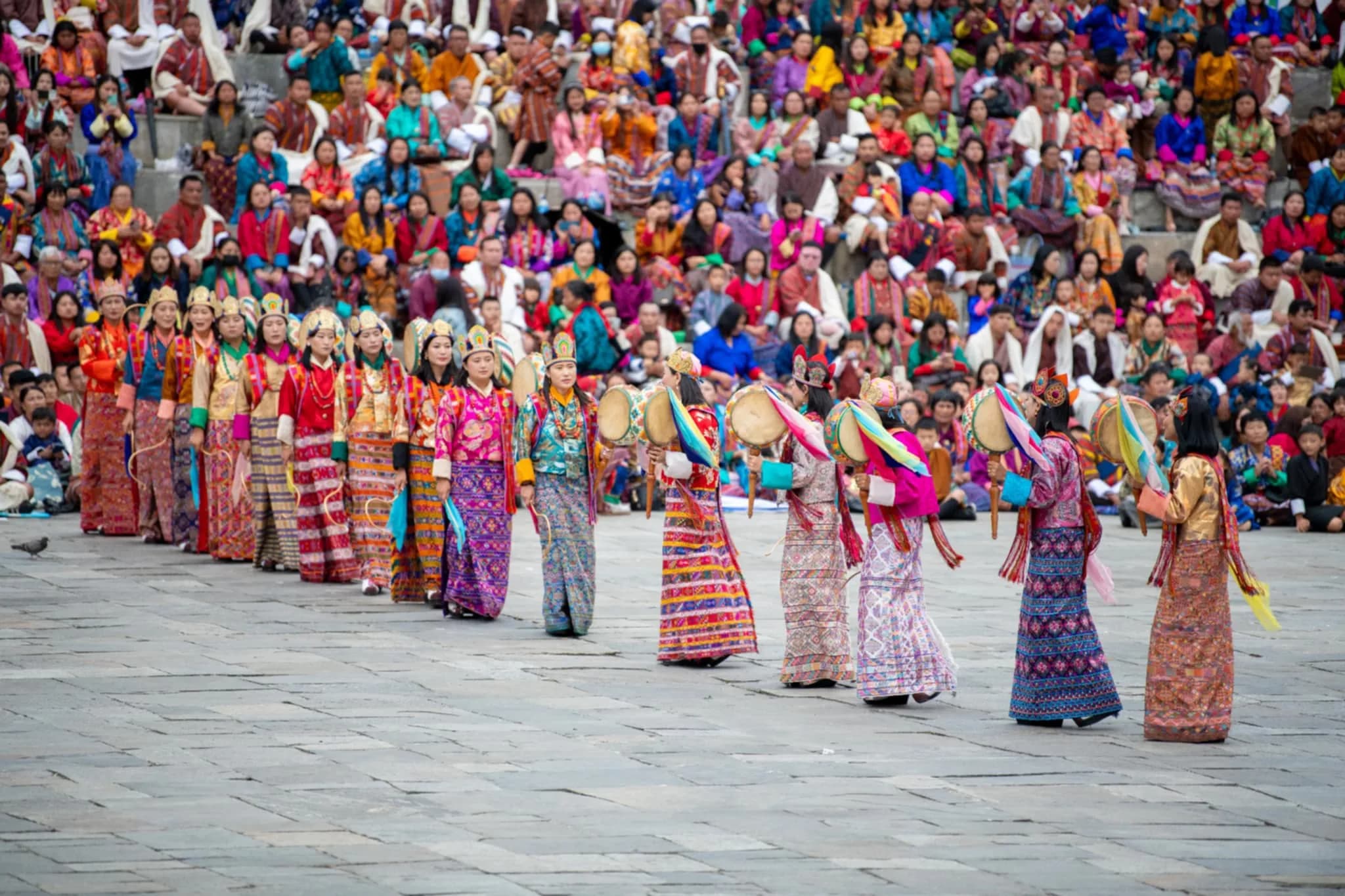
The annual Punakha Drubchen and Tshechu (February-March) is historically the most significant Bhutanese festival — the Drubchen reenacts the 17th-century repulsion of the Tibetan invasion, the only Bhutanese festival to include the warrior-victory cham dances. Held over six days at Punakha Dzong. The combination of warm-valley climate, river-confluence setting, and the most historically-significant festival makes Punakha a strong winter destination.
Visiting
- Drive from Thimphu
- 75 km / approximately 3 hours via the Dochu La pass (3,100 m). The Dochu La is itself a destination — the 108 Druk Wangyel Chortens were built in 2003 in commemoration of the military operation against ULFA/NDFB insurgents; on a clear day the eastern Himalaya is visible from the pass.
- How long to spend
- Two nights typically — one to settle in and visit Punakha Dzong + Chimi Lhakhang, one for the Khamsum Yulley walk and river time. Three nights in February-March for the Drubchen + Tshechu. Founder pacing cap: ≤ 2 nights per visit for first-timers; ≤ 3 if festival-aligned.
What to see here
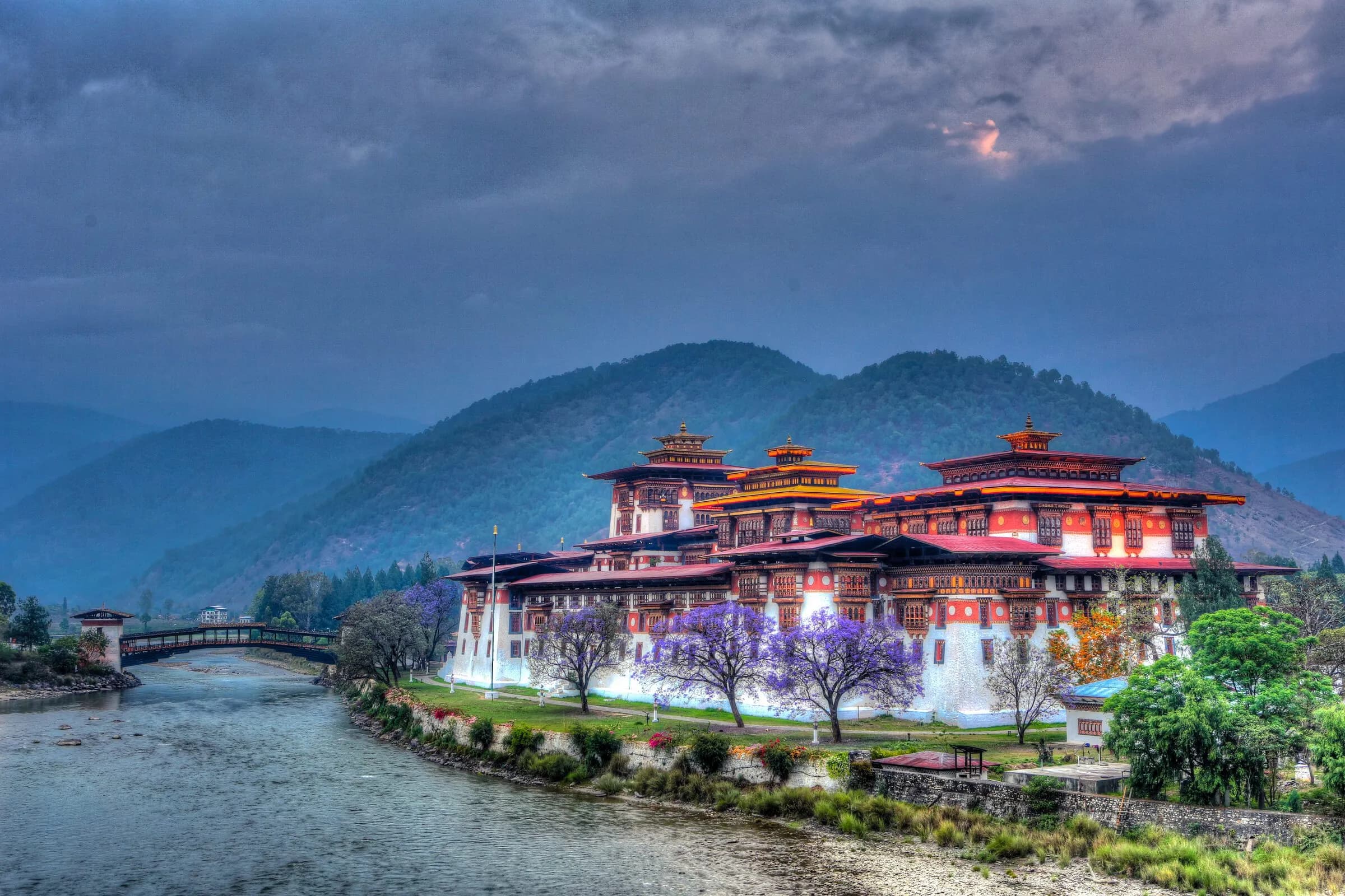 MonumentPunakha Dzong — Pungtang Dechen Phodrang, founded 1638 at the confluence of the father and mother rivers.Punakha Dzong — the Palace of Great Happiness, founded 1638. The history, the architecture, what to expect on a visit.
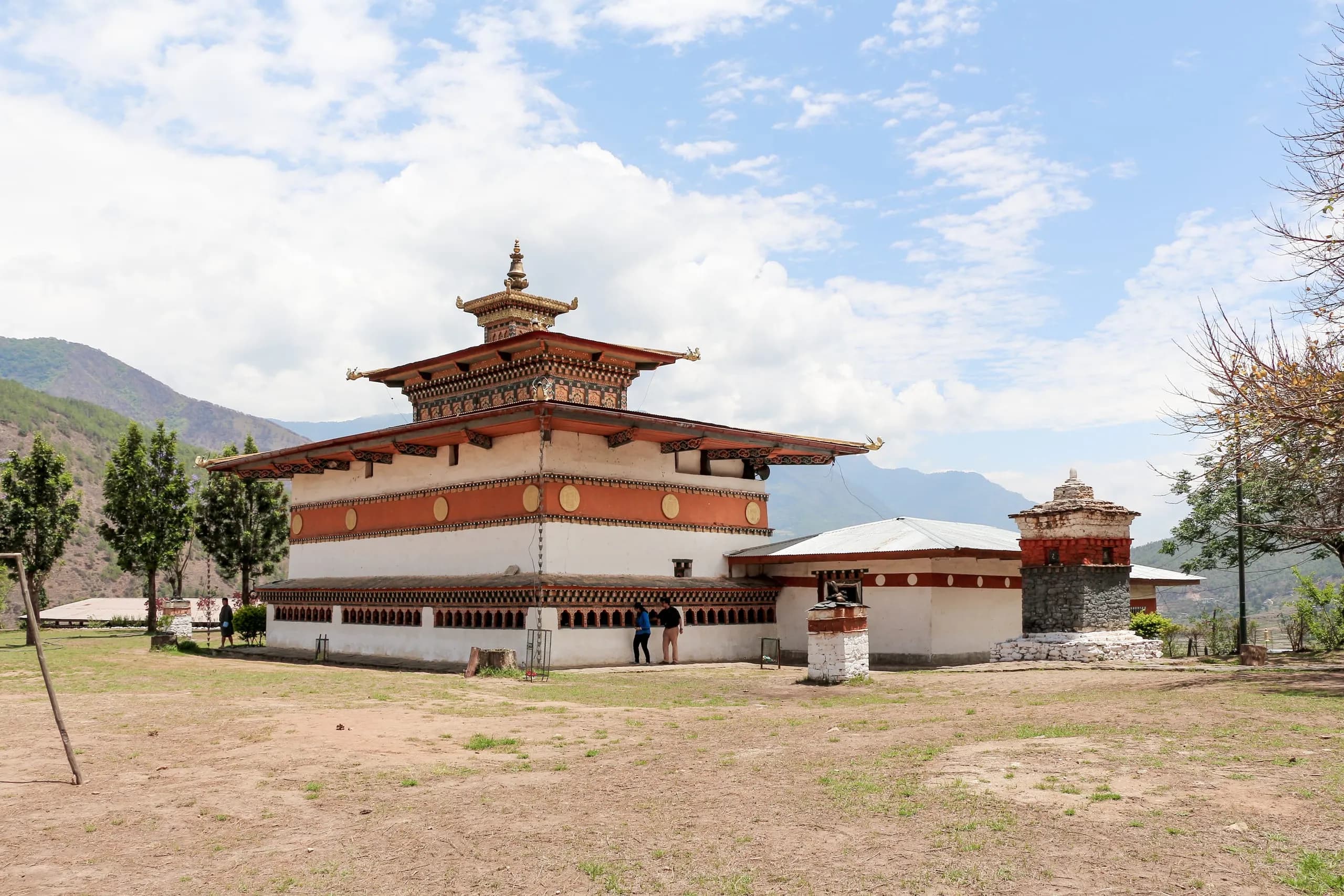 MonumentChimi Lhakhang — the 15th-century temple of Drukpa Kunley, fertility pilgrimage and the phallus iconography.Chimi Lhakhang — Drukpa Kunley's 'Divine Madman' fertility temple in Punakha. History, the iconography, visiting protocol.
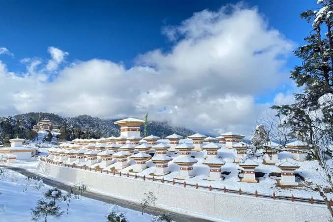 MonumentDochu La — the high pass between Thimphu and Punakha, with 108 chortens and the eastern-Himalayan panorama.Dochu La — the 108-chorten pass at 3,100 metres between Thimphu and Punakha. The Druk Wangyel Chortens and the Himalayan panorama.
When the valley gathers
Where to go next
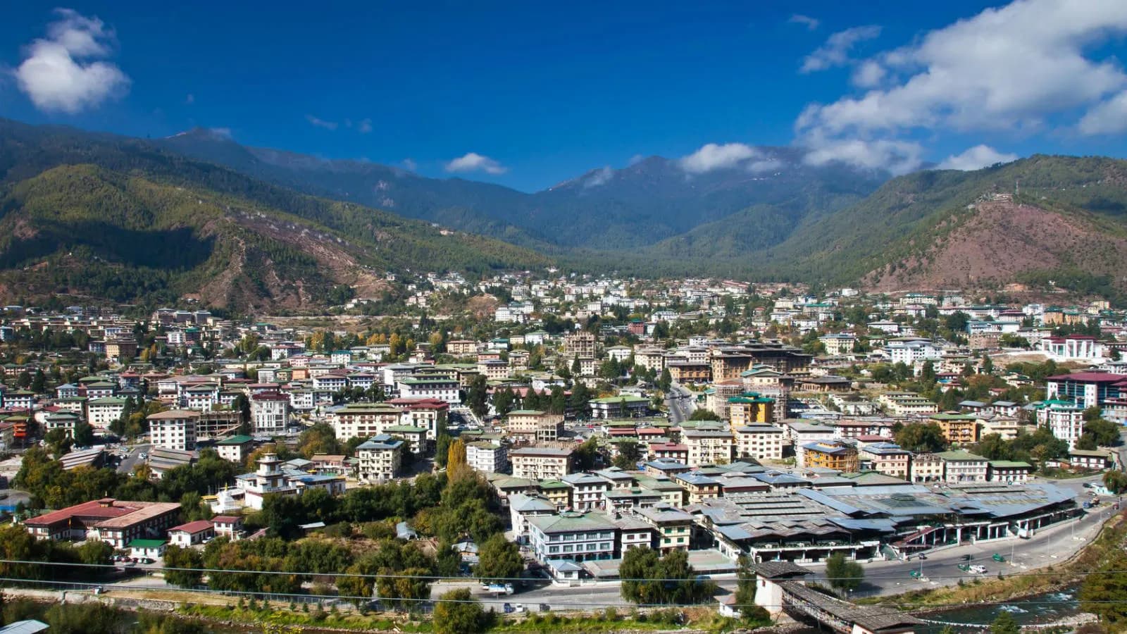 PlaceThimphu — the capital, the country's only city, the unhurried administrative seat.Thimphu — the capital of Bhutan. Tashichho Dzong, Buddha Dordenma, the National Memorial Chorten, the Centenary Farmers' Market, the Folk Heritage Museum.
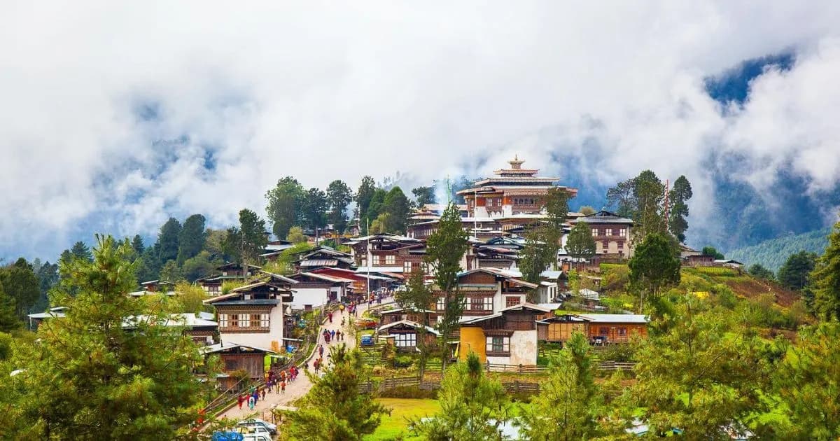 PlacePhobjikha — the broad glacial U-valley at 2,900m, the wintering black-necked cranes.Phobjikha valley — the glacial U-valley in central Black Mountains, wintering black-necked cranes (late Oct-mid Feb), Gangtey Monastery, the Nature Trail.
Journeys through here
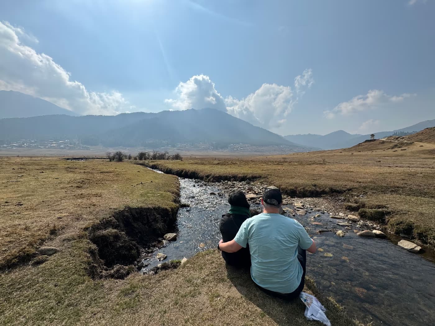 JourneyBhutan in January — the clearest skies of the year.A six-night winter journey through Bhutan in January — clearest Himalayan visibility, Punakha's warm valley, fewer travellers, and lodges by the fire.
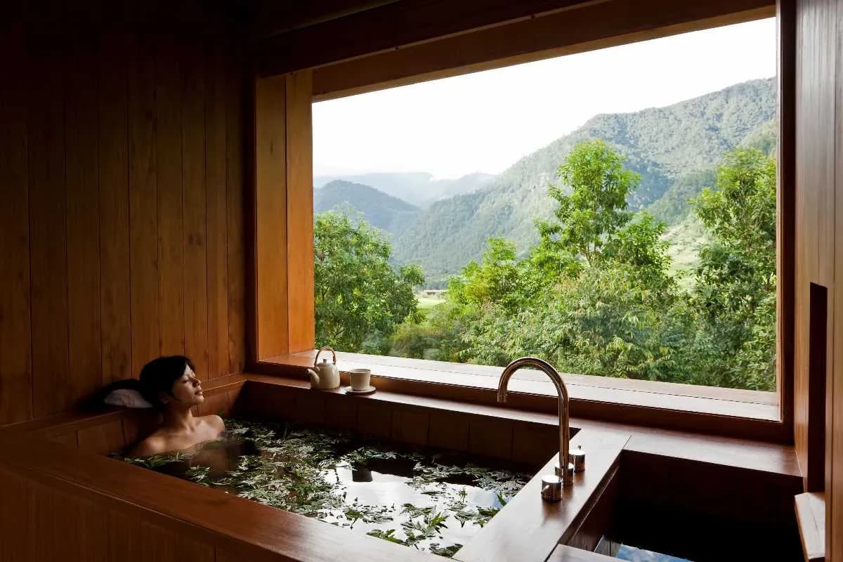 JourneySeven nights in Bhutan, on your terms.A private seven-night Bhutan honeymoon for couples flying from Singapore. Bhutanese lodges, a matched guide, transparent all-inclusive pricing.
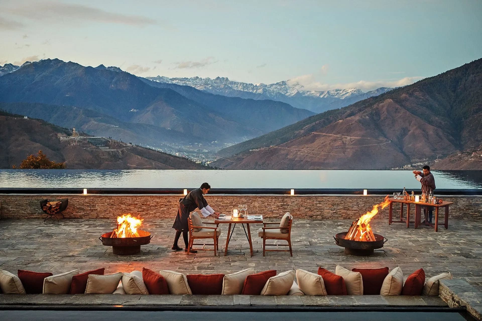 JourneyThe signature-tier Bhutan journey — private knowledgeable guide, the most considered lodge curation, helicopter or charter between valleys, exclusive-use arrangements where the season allows.The signature-tier Bhutan journey. Private knowledgeable guide, the most considered lodges, helicopter or PC-24 charter, exclusive-use arrangements. By invitation, from USD 14,000.
Journeys that visit Punakha
Frequently asked
- Why is Punakha warmer than the other valleys?
- Lower elevation. Punakha sits at approximately 1,200 metres; Paro and Thimphu sit at 2,250-2,320. The 1,000 metre elevation drop gives Punakha a distinct climatic register — warmer days, milder nights, the broader agricultural. Historically why the Royal Government wintered here.
- Is the dzong always open to visitors?
- Visiting hours are observed (typically 9am-5pm) when the dzong is not in active religious or administrative use. During the Drubchen-and-Tshechu festival window the dzong is the festival venue; access is via the festival programme. The matched guide handles the day-by-day access.
- Can I do whitewater rafting on the Mo Chhu?
- Yes — beginner-friendly grades on the Mo Chhu; intermediate on the Pho Chhu. The matched guide arranges through the licensed local outfit. Best window October-April (post-monsoon clarity).