THE OLD WALKING LINE BETWEEN THE VALLEYS
The Druk Path Trek — Paro to Thimphu, over the ridge.
The classic high route between the two valleys: five or six days on the ridgeline that people walked long before there was a road, past alpine lakes and through rhododendron, camped with a full crew at the considered Bhutanese pace. The best first multi-day trek in the country, bookended by Taktsang and an easy descent into the capital.
8 nights · Luxury tier · from USD 9,000 per traveller
- Nights
- 8
- From
- USD 9,000per traveller
- Tier
- Luxury
- Best season
- Autumn
- Suits
- Small group
- Departing
- Worldwide
Why the Druk Path, and not a harder line
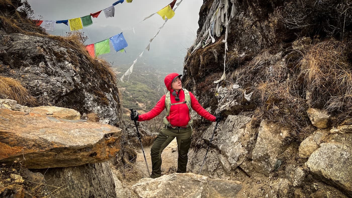
Before there was a road between Paro and Thimphu, there was this ridge — and the walk over it is still the most rewarding way to learn how Bhutan trekks. It is moderate rather than demanding: five walking days, around fifteen kilometres each at the unhurried Bhutanese pace, a high point near 4,200 metres on the ridge above Phajoding rather than the thin air of Chomolhari or the Snowman. You earn the lakes and the long northern panorama without needing to be a mountaineer to do it. For most people it is the right first multi-day trek in the country, and a good many return for a harder one afterwards.
What the eight nights tend to look like
Two nights in Paro to arrive properly and let the altitude settle — and to walk up to Taktsang before the trail, not after, so the legs are fresh for it. Then the trek itself: up from the Ta Dzong above Paro to Jele Dzong on the ridge, along the high line past Jangchulakha to the lake camps at Jimilang Tsho and Simkota Tsho, and down through the Phajoding monastery to the western edge of Thimphu. A night in the capital to bathe, eat well, and let it all sink in before the flight home. We move the days within an hour either way to suit how you actually walk.
The camp, the cold, and being honest about it
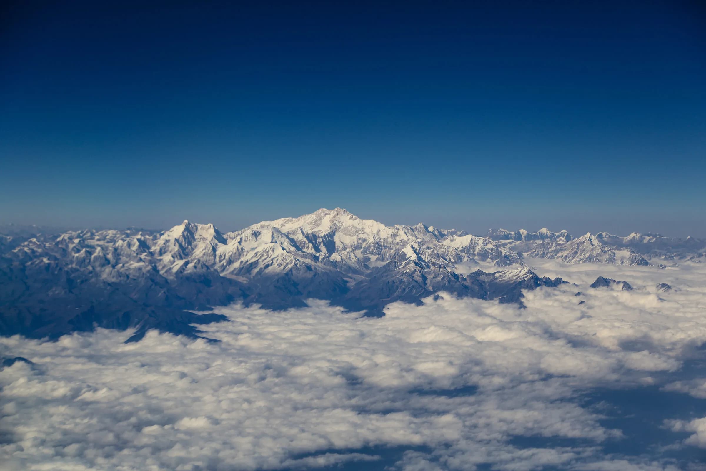
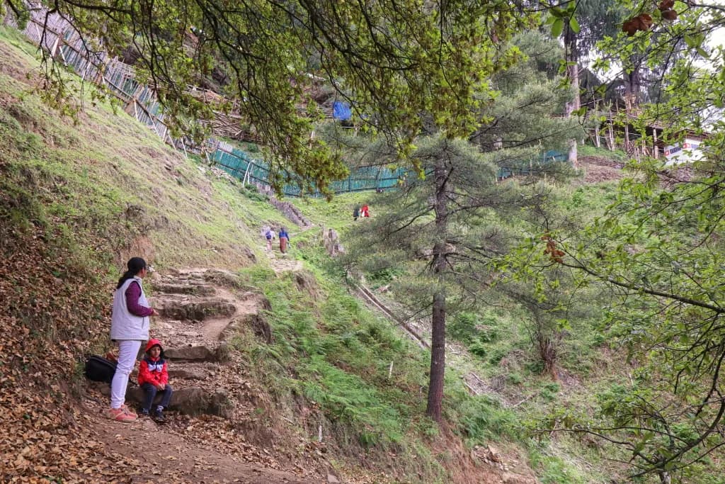
This is camping, and we would rather you knew exactly what that means. Three nights on the trail in insulated expedition tents, the high camps sitting between roughly 3,870 and 4,100 metres, where the nights are properly cold and the mornings begin with frost on the fly. A full crew walks with you — a trek leader, a cook, ponies and pony-men — and there is hot food at every camp and a fire where the ground allows one. The reward for the cold is the morning at Jimilang Tsho when the light comes over the ridge, and the panorama north to Chomolhari on a clear October day, which no road will ever give you.
The route
A sample shape of the week
DAY 01
Arrival in Paro — the valley, slowly
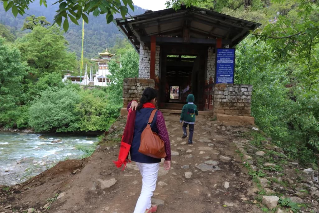
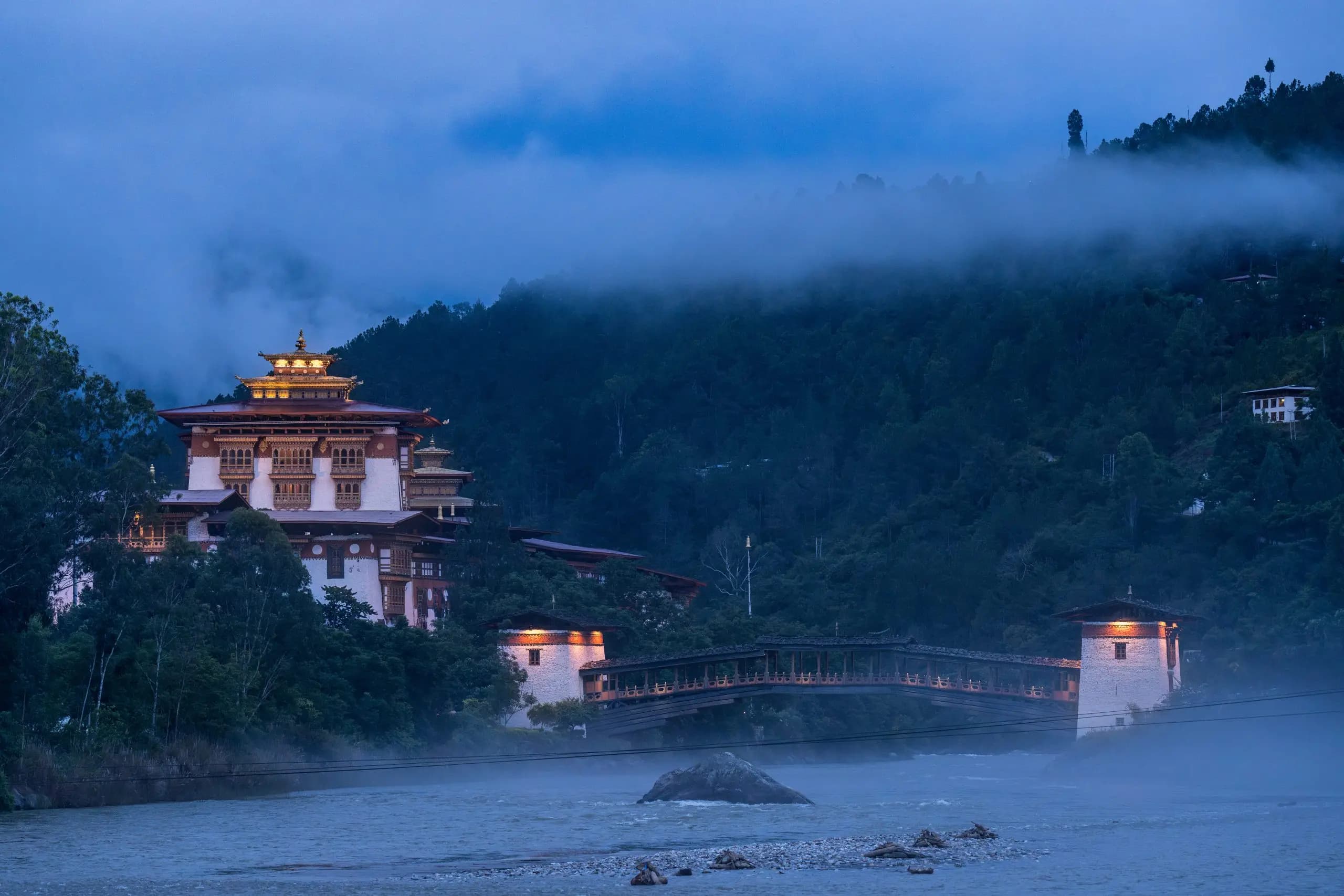
Met in the arrivals hall, a short drive to the lodge, an unhurried afternoon walking the Pa Chhu and up to Rinpung Dzong if the light holds. An early night; the altitude is already working on you.
DAY 02
Taktsang before the trail
The walk up to the Tiger's Nest — Taktsang clings to its cliff at 3,120 metres — paced by your guide on the switchbacks, with lunch at the cafeteria across the gorge. We climb it now, fresh, rather than on tired trek legs. A hot stone bath back at the lodge, and the trek briefed over dinner.
DAY 03
Ta Dzong to Jele Dzong — onto the ridge
The trailhead is the Ta Dzong, the old watchtower above Paro that now holds the National Museum. A steady climb through pine and rhododendron to Jele Dzong on the ridge at 3,480 metres, the small fort that gives the camp its name. The first night under canvas, the valley lights below.
DAY 04
Jele Dzong to Jimilang Tsho — the high line
The ridge traverse, with the northern panorama opening on a clear morning — Chomolhari and Jichu Drake along the skyline. Lunch at the open Jangchulakha meadow. Camp at Jimilang Tsho, the first of the lakes, at around 3,870 metres. This is the photograph people come back with.
DAY 05
Jimilang Tsho to Simkota Tsho — past the second lake
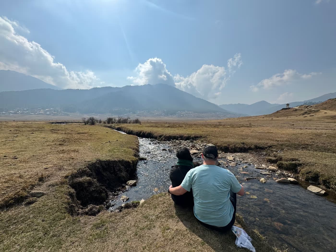
Along the ridge past Janey Tsho, the second of the three lakes, to the Simkota Tsho camp near 4,100 metres — the highest night of the trek. Slow is the right speed here; the cook will have tea waiting.
DAY 06
Simkota Tsho to Thimphu — down through Phajoding
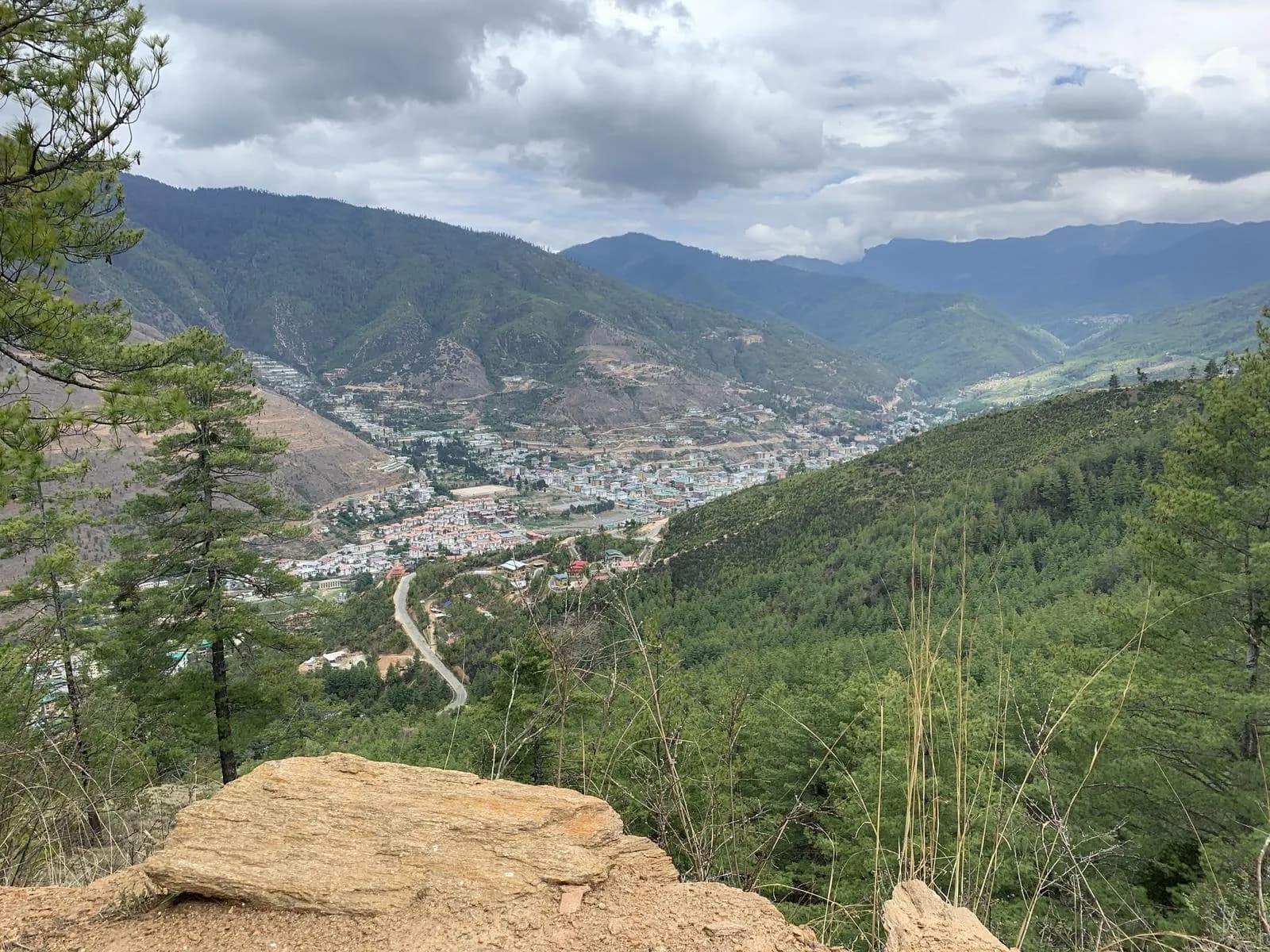
A climb to the day's high point on the ridge above Phajoding near 4,200 metres, then the long descent past the Phajoding monastery — a Drukpa Kagyu retreat centre at 3,640 metres above the capital — and down through the forest to the western edge of Thimphu. The lodge, a long hot shower, a proper dinner.
DAY 07
A day in Thimphu — the capital, recovered
No walking asked of you. The Memorial Chorten in early light, Tashichho Dzong, the great Buddha Dordenma looking down the valley, an unhurried lunch. The day to let the trek settle into memory before the flight.
DAY 08
Departure — back over to Paro
The road back to Paro, 54 kilometres and a little over an hour, in time for the flight out. Breakfast first, the guide walks you to the terminal, and the team writes a fortnight later.
The day-by-day above is illustrative. The proposal you receive is built around your dates, your pace and your interests, not this template.
Frequently asked
- How hard is the Druk Path, honestly?
- Moderate. Five walking days at around fifteen kilometres each on well-defined trail, with the high point near 4,200 metres on the ridge above Phajoding. The real challenge is the altitude rather than the terrain — the middle two camps sit between roughly 3,870 and 4,100 metres. A reasonably fit walker who has put in six to eight weeks of conditioning beforehand completes it comfortably, and we build two acclimatisation nights in Paro before the trail begins. It is widely held as the most approachable serious multi-day route in the country.
- Can I do it with no prior trekking experience?
- Yes, with proper preparation. A great many first-time multi-day walkers do the Druk Path as their introduction to Bhutanese trekking. The terrain is forgiving and the trail well-defined; it is the altitude, not the ground, that asks something of you. We pace the days unhurriedly and your trek leader watches everyone closely on the higher mornings.
- What's the best time of year for it?
- Late October into early November is, in our view, the single finest window — dry, clear, cool, with the Chomolhari panorama at its most reliable from the ridge before the morning cloud builds. Late April into May is the other window: rhododendron in bloom along the lower trail and longer evenings at camp. We would steer you away from the deep monsoon of July and August, when the ridge is wet and the views are mostly inside the cloud.
- How cold does it get at the camps, and what's the sleeping like?
- Cold, particularly at the Simkota Tsho camp near 4,100 metres, where night temperatures drop below freezing even in autumn. You sleep in insulated expedition tents on proper mats with four-season bags; the crew has a hot meal and tea waiting each evening, and a fire where the ground allows one. We send a season-specific packing list once your dates are set — the layers matter more than anything else you bring.
- What is the Sustainable Development Fee, and is it included?
- Yes, it is included and shown plainly in your price breakdown. The SDF is USD 100 per night for each international adult visitor, set by the Royal Government of Bhutan; it funds free health care and education for Bhutanese citizens and the upkeep of the trails and forests you will be walking through.
Journeys you might also weigh
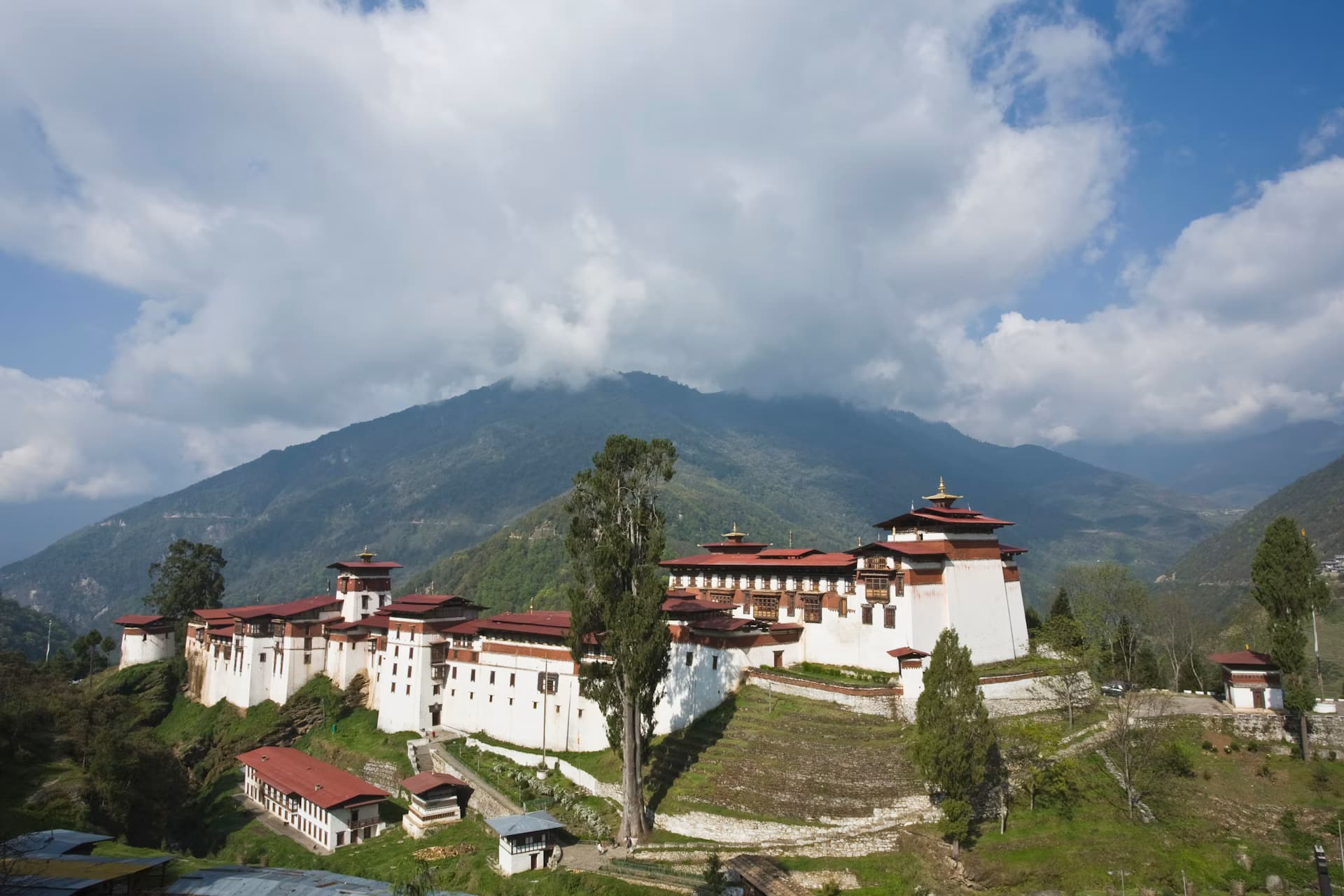
- 01Bhutan arts and crafts journeyA small-group Bhutan journey for travellers who want the country through its craftsmen — the thirteen traditional arts taught at the National Institute for Zorig Chusum, a thangka painter at the proportioned grid, a carver releasing a mask from a block, a dzong read for how it was built rather than only admired. Paro, Thimphu, Punakha, and back, with the days kept generous so that a workshop runs to its own length and a maker or two is met properly rather than glimpsed.8 nights
from $8,000 - 02Bhutan history and heritage journeyA small-group Bhutan journey for travellers who want the country's history where it actually stands — in the dzongs that built the state and the museums that hold its memory. Simtokha, the first dzong of all; the National Museum in the round Ta Dzong above Paro; Punakha, the former winter capital where the kings are still crowned; and Trongsa, the ancestral seat from which the royal house arose, its own Ta Dzong telling the Wangchuck story room by room. Paro, Thimphu, Punakha, and Trongsa, paced so that a gallery is given its hour and a dzong is read rather than only photographed.8 nights
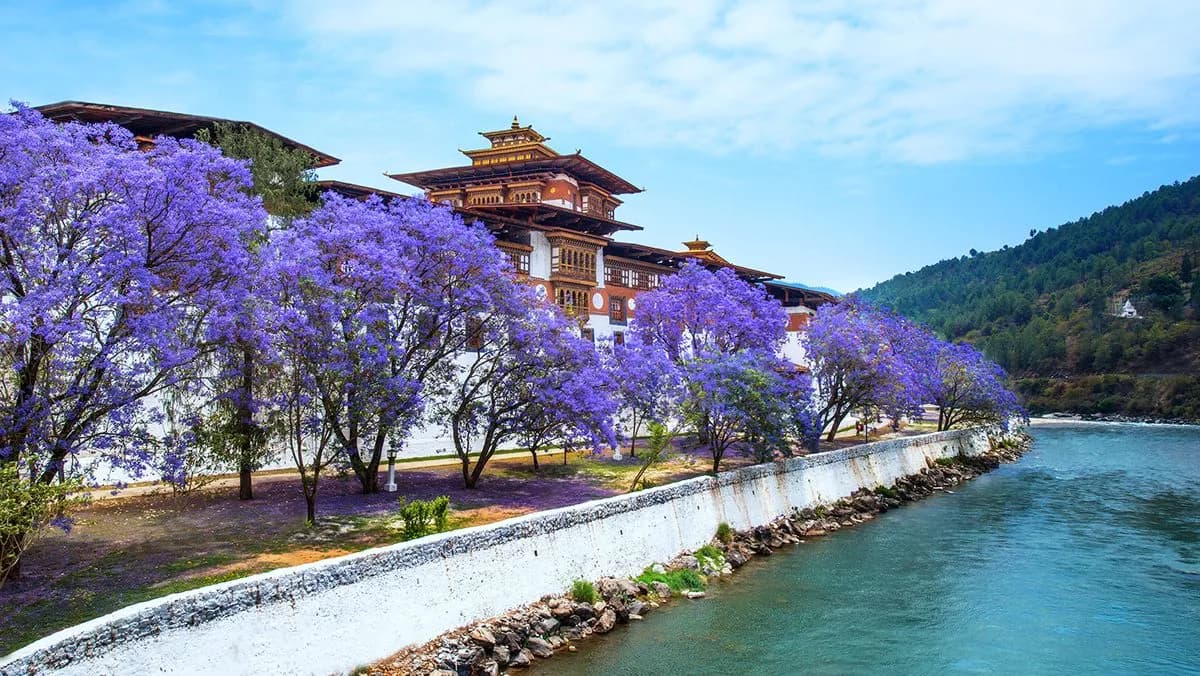
from $9,000 - 03Bhutan in springA seven-night journey through Paro, Thimphu, Punakha and Gangtey timed to the spring bloom — Dochu La and the Phobjikha hills carpeted in red, pink and white, a walk through the colour rather than a glance from the car, and the festival window open if your dates fall right.7 nights
from $8,000
Begin when you're ready.
A few questions, or a conversation in your own words. A bespoke draft either way.