The lakes trek
Dagala Thousand Lakes Trek — five days through the high-altitude lake country south of Thimphu, with the principal Himalayan panorama in clear weather.
The Dagala Thousand Lakes Trek crosses the high country south of Thimphu in five days — through alpine meadow, past a substantial number of high-altitude lakes (the name is poetic rather than literal; there are perhaps twenty principal lakes), to the high ridge above the Dagala valley with the eastern-Himalayan panorama. Maximum altitude 4,520 metres; moderate-to-strenuous; the principal accessible mountain-views trek of the western Bhutanese trekking landscape.
- Duration
- 5 days
- Max altitude
- 4,520 m
- Difficulty
- moderate
- Distance
- 62 km
- Region
- Thimphu (southern), Dagana
- Trailhead
- Genekha, Thimphu (2,800 m)
- Trail end
- Chamgang, Thimphu (2,650 m)
- Best months
- April · May · September · October
- Walk type
- trek
The route, in brief
The trek begins at Genekha (a 1-hour drive south of Thimphu), climbs through pine and rhododendron forest to Gur (3,290m), continues to the high lakes country around Labatama (4,300m) on Day 3 — the principal lake camp — and crosses Pangalabtsa (4,520m, the trek's highest point) on Day 4 with the panorama to Chomolhari and the broader Himalayan range. The final descent is to Chamgang on Day 5, with a vehicle return to Thimphu. Five days total; the Pangalabtsa pass and the Labatama lakes are the principal photographic registers.
The lakes
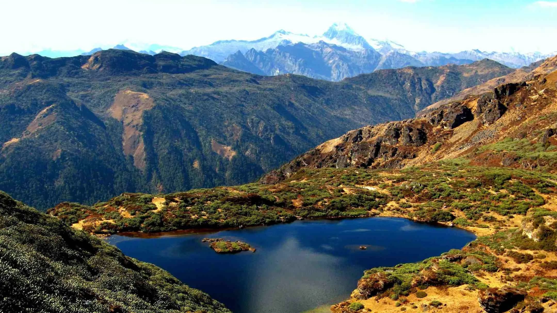
The Dagala high country holds approximately twenty principal lakes, ranging from small alpine tarns (perhaps 20 metres across) to substantial glacial lakes (the largest, near Labatama, is approximately 800 metres long). The lakes sit between 3,800 and 4,400 metres in the alpine meadow zone. Many are held by the Bhutanese tradition to be the abodes of specific protector deities; the trek's tradition is to leave a butter-lamp offering at one of the principal lakes on Day 3. The lakes are notable for the trout that inhabit them — introduced in the 1970s as part of a Royal Government fisheries programme — and for the alpine flora that rings them in May and June.
The Himalayan panorama
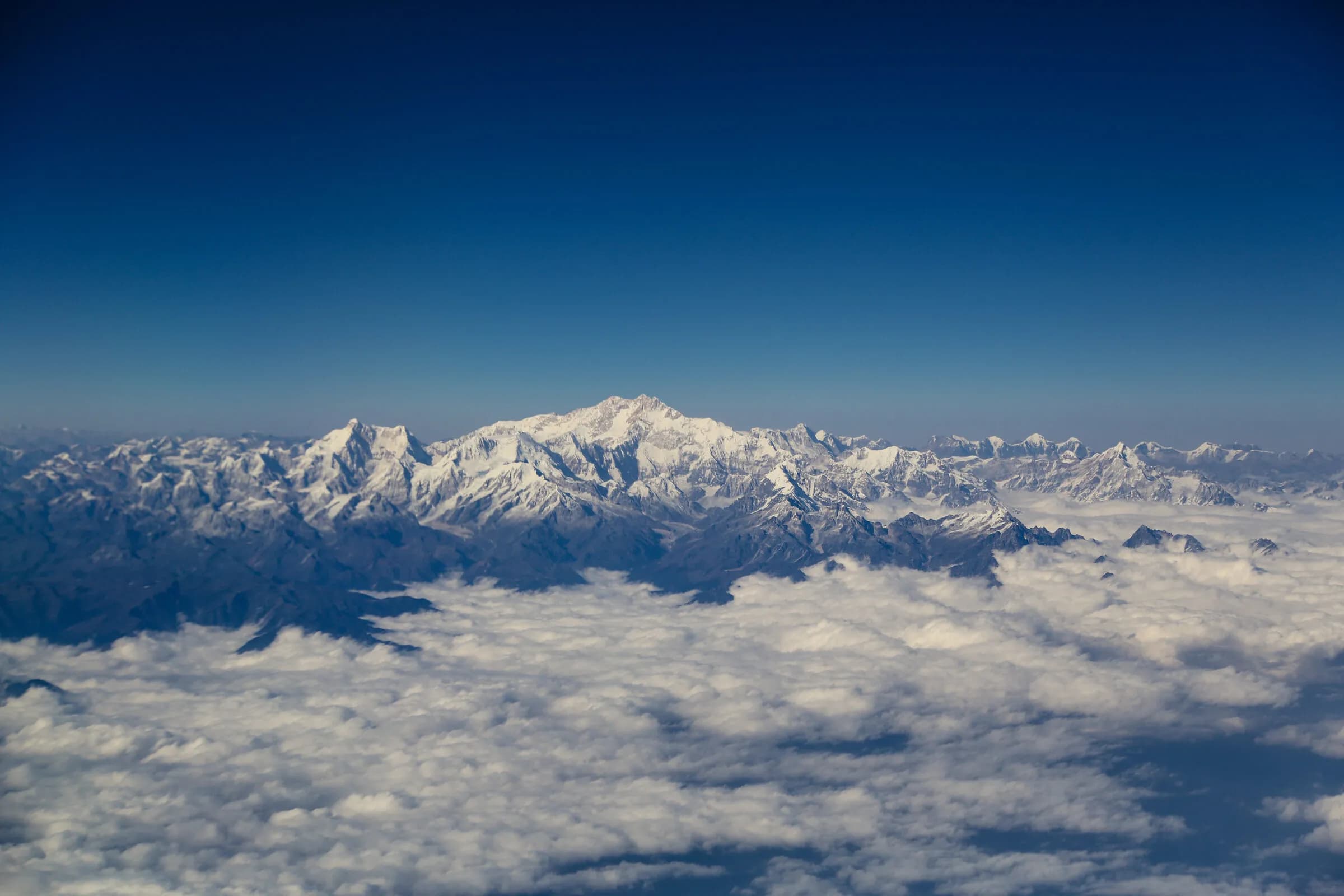
Day 4 — the Pangalabtsa crossing — gives the principal panoramic. From the pass at 4,520m the view north encompasses Chomolhari (7,326m), Jichu Drake (6,989m), Masagang (7,158m), Tsendagang (7,300m), and on exceptional days Gangkhar Puensum (7,570m, the highest peak in Bhutan). The October clear-sky window gives the most reliable visibility — early morning before 10 a.m. is the photographic peak. Many trekkers consider the Pangalabtsa view to be the most-substantial panoramic register of any Bhutanese trek without going further north into the Lingshi-Laya country.
Day by day
- Day 1
Genekha to Gur
3,290 m · 14 km · 7 h walking
Climb through pine and rhododendron forest from Genekha; reach Gur camp.
- Day 2
Gur to Labatama
4,300 m · 15 km · 7 h walking
Climb to the high lake country; first views of the principal lakes.
- Day 3
Labatama — lake-day
4,300 m · 6 km · 4 h walking
Acclimatisation and exploration day among the principal lakes. Short walks to the surrounding lake camps.
- Day 4
Labatama to Panka via Pangalabtsa
4,520 m · 15 km · 8 h walking
Cross Pangalabtsa (4,520m); the principal Himalayan panorama; descend to Panka.
- Day 5
Panka to Chamgang
2,650 m · 12 km · 5 h walking
Descend through forest to Chamgang; vehicle transfer to Thimphu.
Before you go
- Season
- April-May catches the spring alpine bloom; September-October the autumn clear-sky window. June-August is monsoon (the lakes themselves are at their fullest but visibility is reduced); November-March the high passes are snow-affected.
- Fitness
- Moderate-to-strenuous — the maximum altitude is 4,520m and Days 2-4 sit at or above 4,000m. Pre-trek conditioning over 2-3 months is the standard preparation; a reasonably-fit walker with any prior multi-day trekking experience is the realistic profile. The Day-3 rest at Labatama is essential for the altitude profile.
- Combine with western valley culture
- The trek's start and end points are both close to Thimphu, making it a natural anchor for a Thimphu-Punakha-Phobjikha cultural itinerary. Common combination: 3 days Paro/Thimphu acclimatisation → 5-day Dagala trek → recovery and Thimphu cultural → 2-3 days Punakha → 1-2 days Phobjikha.
- Birding and wildlife
- The high alpine zone is one of the principal habitats for the Himalayan monal (the high-altitude pheasant), the blood pheasant, the satyr tragopan, and the lammergeier. Many birding-focused trekkers do Dagala specifically for the alpine-bird. Trout fishing is possible in some of the principal lakes (catch-and-release; permits arranged through the operator).
Monuments on the route
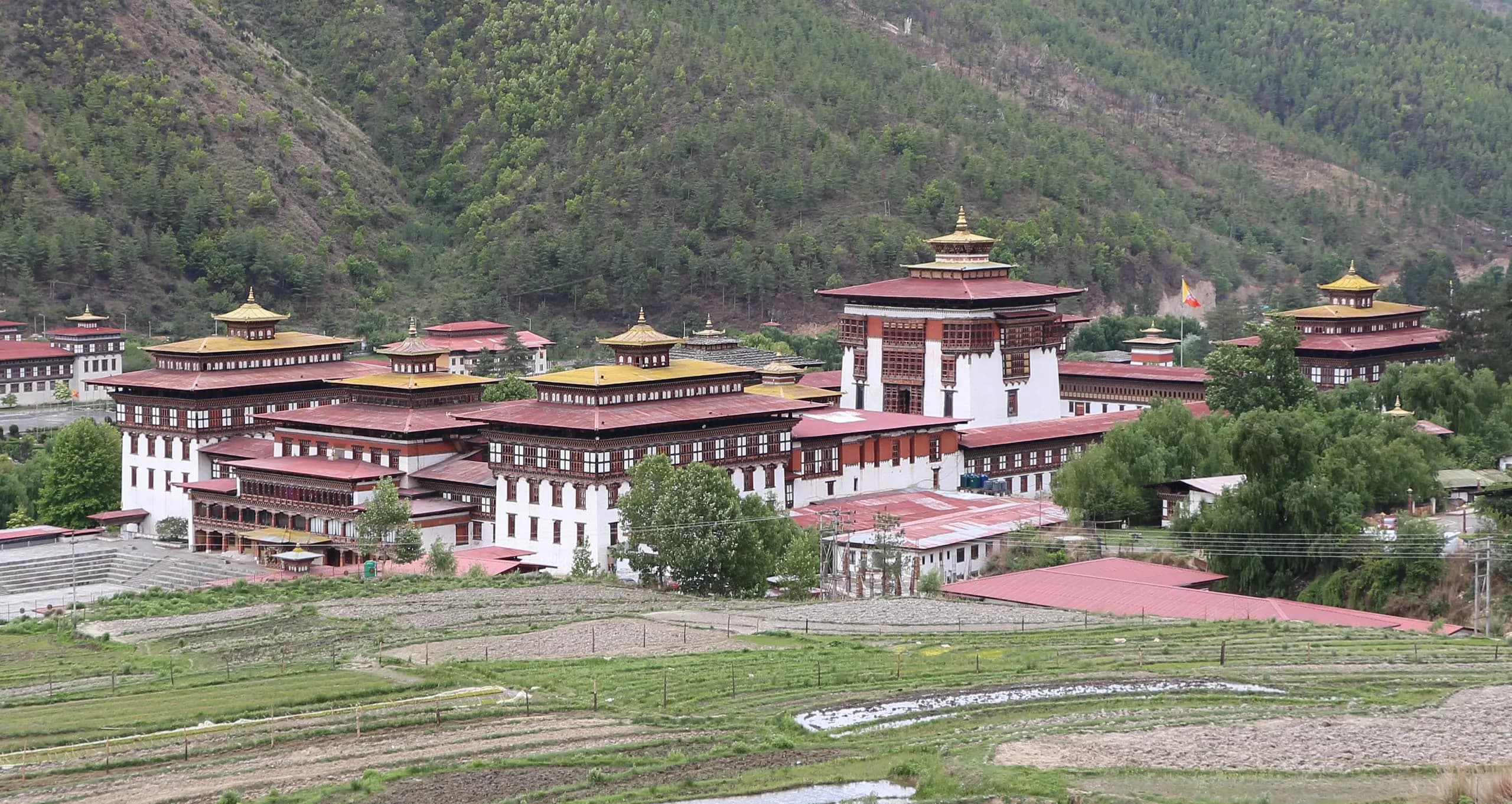 MonumentTashichho Dzong — the fortress of the auspicious religion, at the heart of Thimphu.Tashichho Dzong — the seat of Bhutan's central government and Je Khenpo summer residence in Thimphu. History, architecture, visiting.
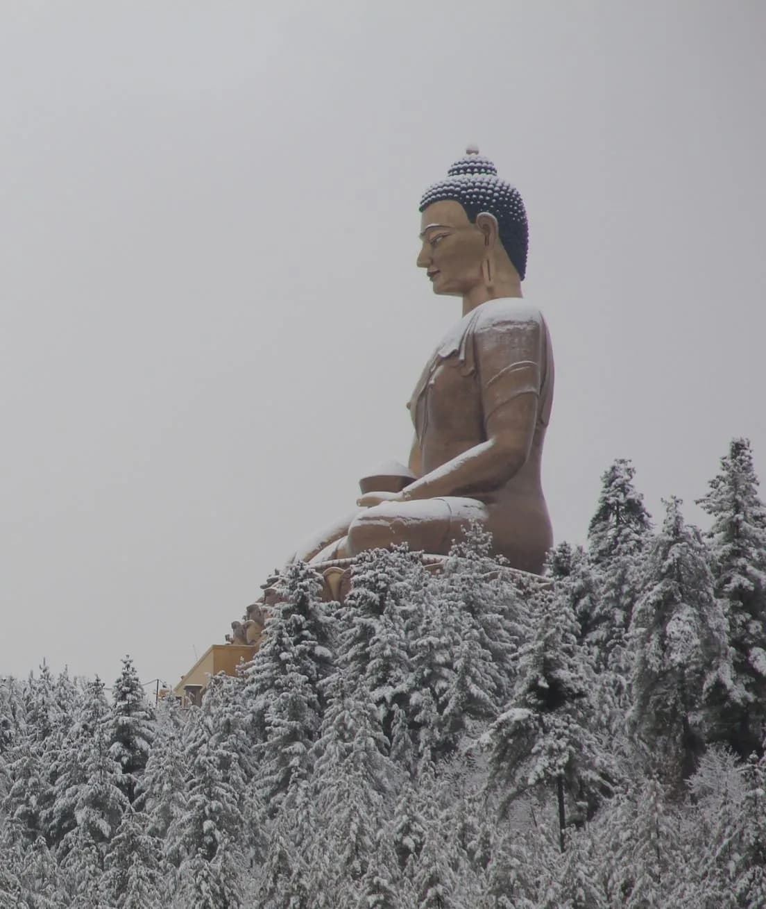 MonumentBuddha Dordenma — the great gold-plated Shakyamuni, fulfilling an 8th-century prophecy of Guru Rinpoche.Buddha Dordenma — the 51.5-metre seated Buddha above Thimphu. The prophecy, the construction, the 125,000 smaller Buddhas inside. Visiting.
Festivals nearby
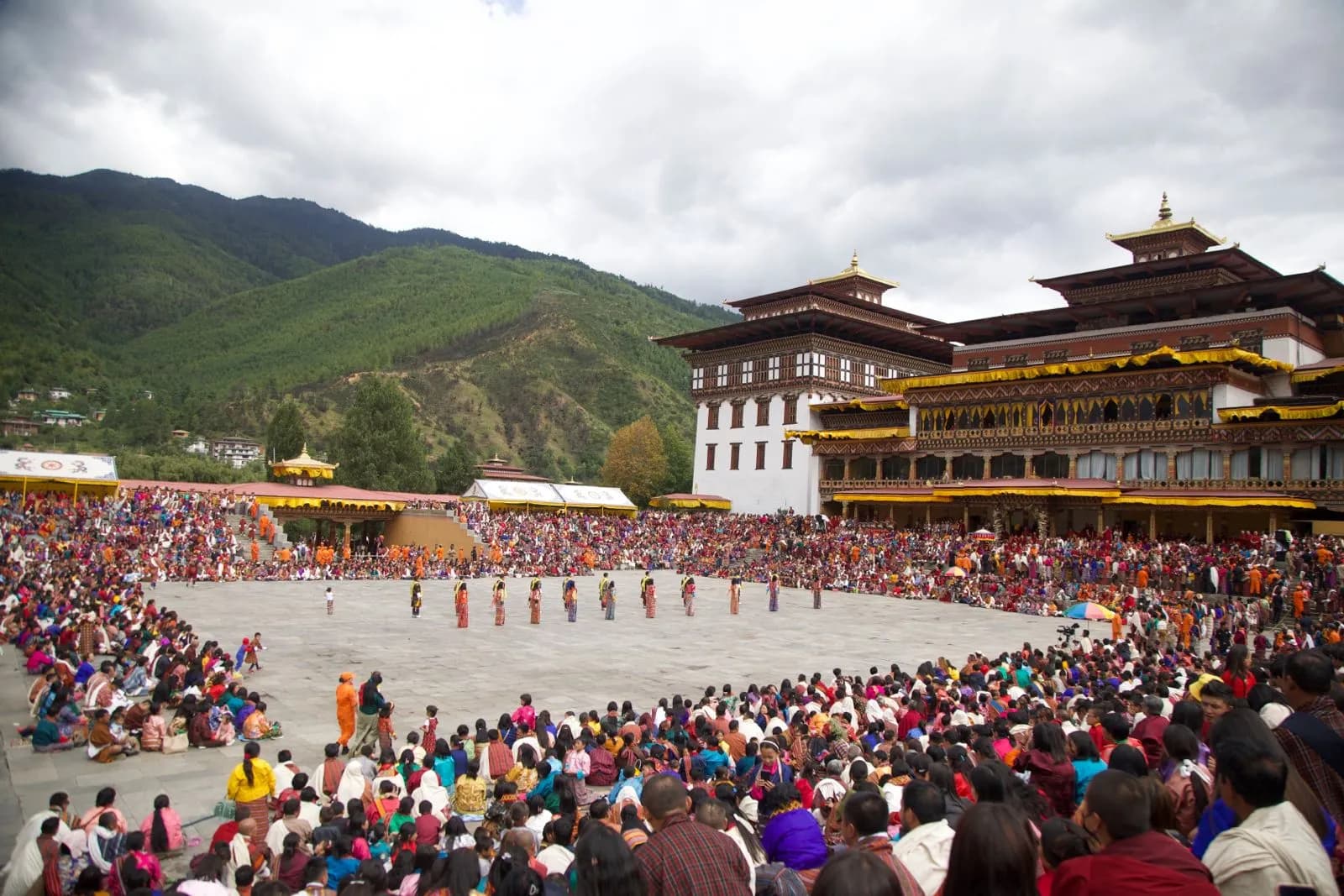
Journeys around this trek
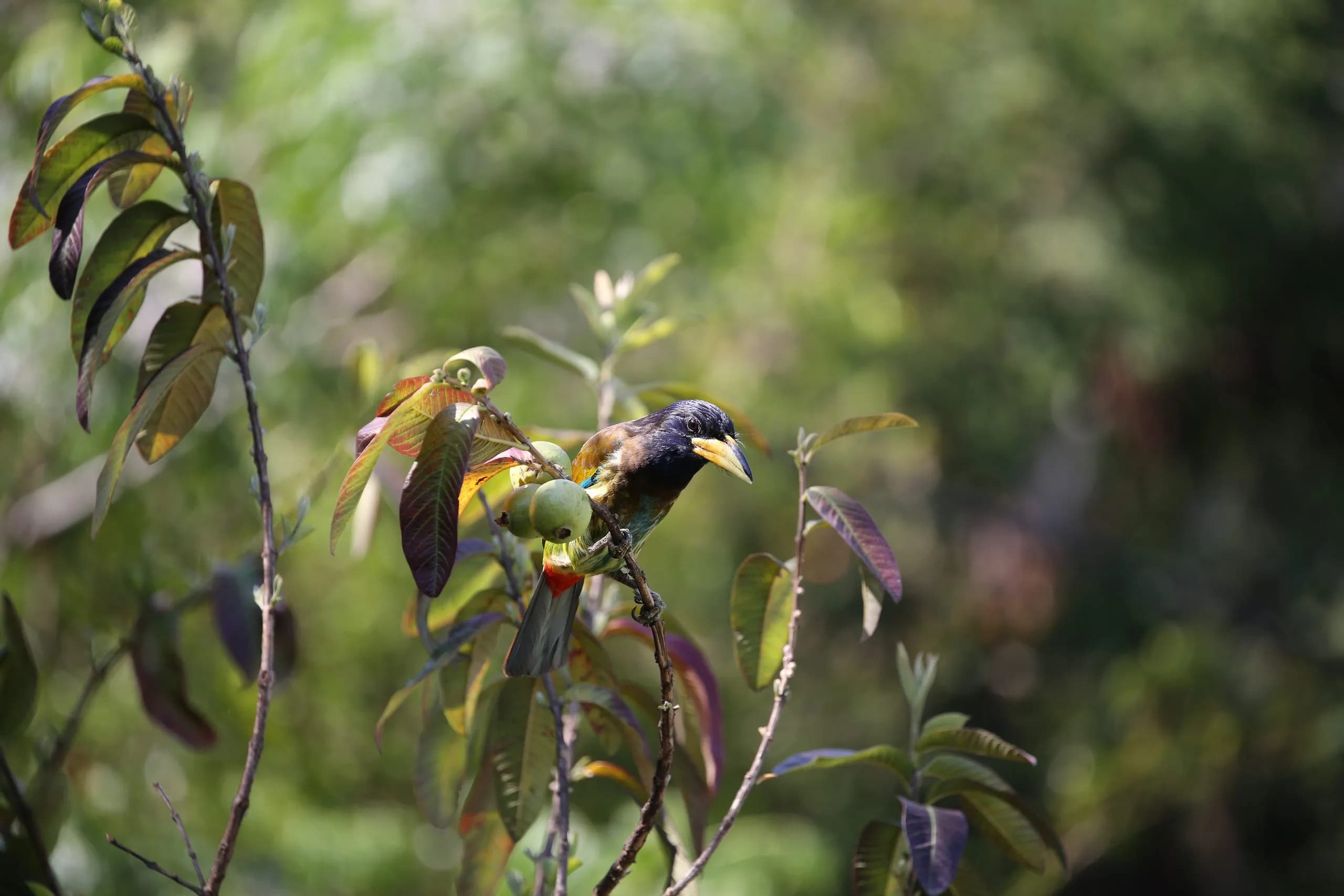 JourneyEight nights for the country's principal endemics — cranes at Phobjikha, the heron on the Punatsangchhu, the hornbills in the broadleaf belt.An eight-night Bhutan birding journey targeting the principal endemics — black-necked cranes at Phobjikha, white-bellied heron, hornbills, the beautiful nuthatch.
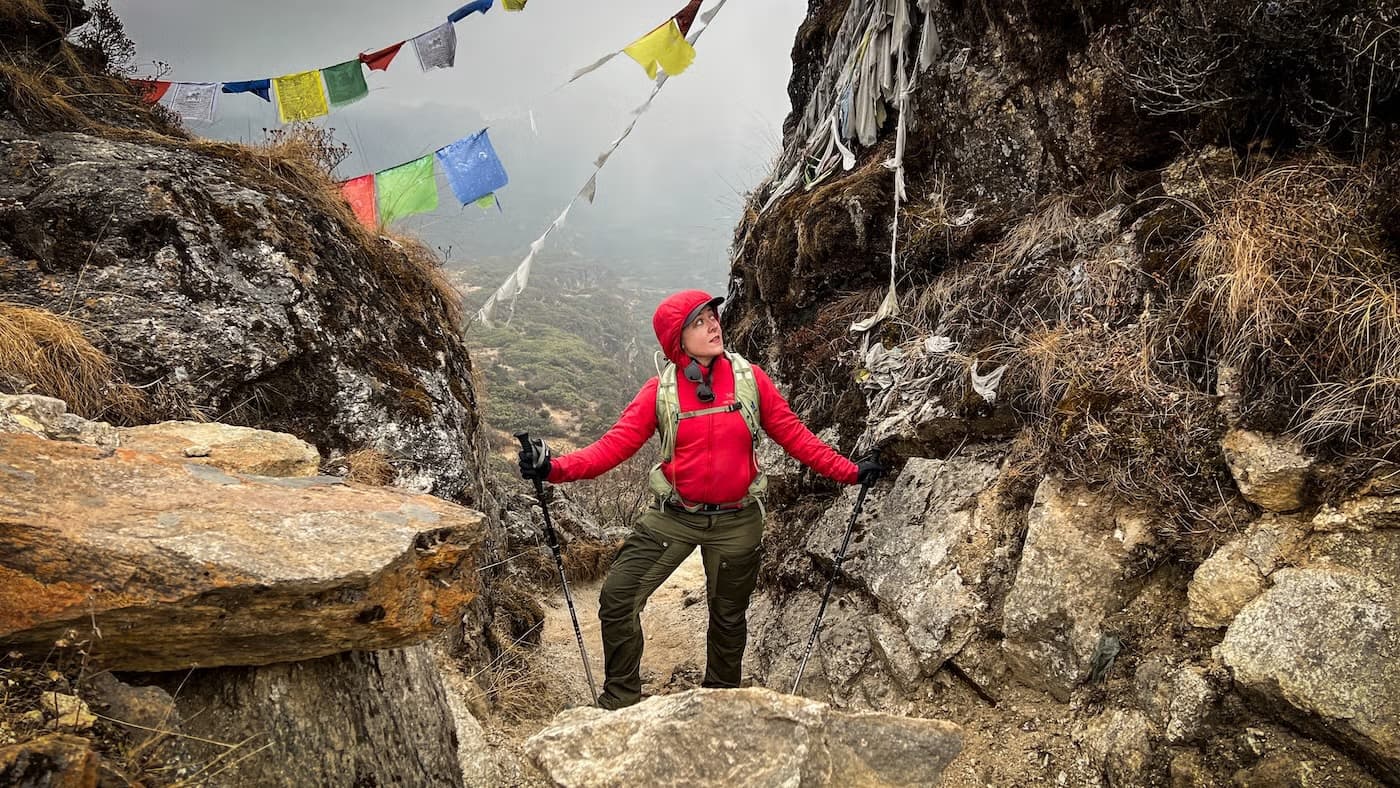 JourneySeven nights in Bhutan, on foot — light treks from Sydney.A seven-night Bhutan light-trek journey from Sydney — first half-day trails, comfortable lodges, a guide who paces the day to you.
Frequently asked
- Are there really a thousand lakes?
- No — the name is poetic rather than literal. The Dagala high country holds approximately twenty principal lakes plus a substantial number of small alpine tarns. The Day-3 lake-camp gives the visitor access to perhaps eight or nine of the principal lakes within easy walking distance.
- How difficult is the Dagala trek?
- Moderate-to-strenuous. The maximum altitude is 4,520 metres and Days 2-4 sit at or above 4,000 metres. Pre-trek conditioning over 2-3 months is the standard preparation. The terrain itself is well-defined trail; the altitude is the principal challenge.
- What's the panorama like?
- From Pangalabtsa (4,520m, Day 4) the view north includes Chomolhari (7,326m), Jichu Drake (6,989m), Masagang (7,158m), Tsendagang, and on exceptional clear days Gangkhar Puensum (7,570m). Many trekkers consider the Pangalabtsa view among the most-substantial Himalayan panoramas of any Bhutanese trek south of the Lingshi-Laya country.
- Can I fish in the lakes?
- Yes — the lakes were stocked with trout in the 1970s as part of a Royal Government fisheries programme, and catch-and-release fly fishing is permitted in some of the principal lakes (permits arranged through the operator). Bring a 4-piece pack rod if angling is of interest.
- Is the Dagala trek crowded?
- No — Dagala is one of the quieter multi-day treks in the Bhutanese system. The Druk Path (six days, also accessible from Thimphu) carries substantially more traffic; Dagala is for visitors who prefer the quieter, lake-and-panorama register over the better-known Druk Path itinerary.