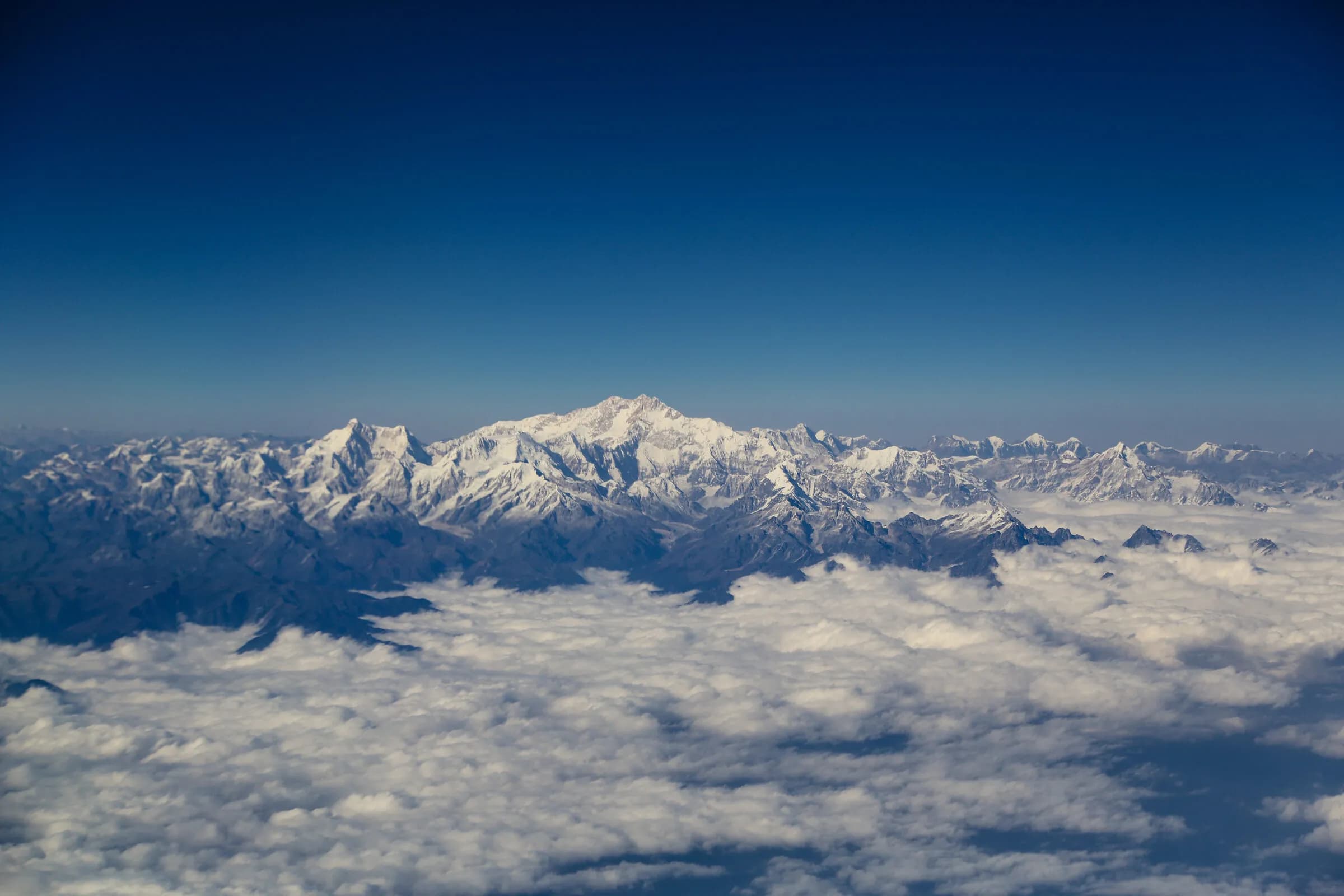
A Bhutanese mountain pass
Pele La — the 3,420-metre pass over the Black Mountains, the threshold between western and central Bhutan.
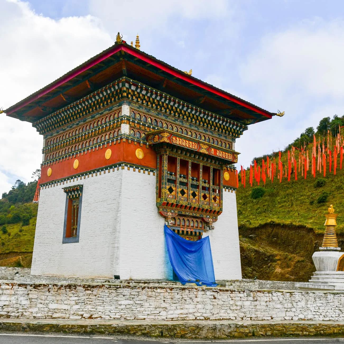
Pele La, at 3,420 metres, is the pass that carries the road over the Black Mountains from the Wangdue Phodrang valley into central Bhutan — the traditional dividing line between the west of the country and the centre, and the gateway to Trongsa, Bumthang, and the east. The crossing runs through the high pastures and dwarf-bamboo slopes of Jigme Singye Wangchuck National Park, often wrapped in drifting mist, grazed by yaks, and marked at the top by a chorten and a host of prayer flags. It is the moment a journey leaves the familiar western valleys behind and turns towards the deeper country beyond.
Also known as Pelela · Pele La pass
- Location
- On the road between Wangdue Phodrang and Trongsa, Wangdue Phodrang
- Elevation
- 3,420 m
- Kind
- mountain-pass
The threshold of the centre
Pele La has long been understood as a boundary — the pass over the Black Mountains where western Bhutan ends and central Bhutan begins. The Black Mountains form a natural divide across the country, separating the western valleys (Paro, Thimphu, Punakha, Wangdue) from the central ones (Trongsa, Bumthang) and beyond them the east, and Pele La is the road's way across. To cross it is to feel the journey change character: the landscape opens into high, austere pasture, the air thins, and the comfortable circuit of the west gives way to the longer, wilder country of the centre and the east. The pass is marked, as all Bhutanese passes are, by a chorten and a great mass of prayer flags streaming in the wind.
The Black Mountains and the high pasture
The pass lies within Jigme Singye Wangchuck National Park, which protects the Black Mountains — a remote, densely forested range that is among the least-disturbed wilderness in Bhutan, home to the elusive Himalayan black bear, the red panda, and rich birdlife. Around the top of the pass the forest gives way to open slopes of dwarf bamboo, the favoured food of grazing yaks, which are often seen near the road tended by the seminomadic herders of the high country. In spring the slopes flush with rhododendron; for much of the year the pass is wreathed in moving cloud, which gives it a particular brooding atmosphere quite unlike the bright western valleys.
A passing landmark
Pele La is a threshold rather than a destination — a place to pause on the long drive between the western valleys and Trongsa, to stand among the prayer flags in the high cold air, and to register the geography that organises a journey into central and eastern Bhutan. Just beyond, the road descends towards the Nepali-style Chendebji Chorten and on to Trongsa, its great ridge-strung dzong the first landmark of the centre. For visitors making the longer journey east, the crossing of Pele La is one of the quiet milestones of the trip — the gateway swinging open onto the deeper country.
Visiting
- Getting there
- Pele La is crossed on the main east–west highway between Wangdue Phodrang (or Phobjikha, which branches off near the pass) and Trongsa — roughly two to three hours' drive from Punakha or Phobjikha. There is no detour; the road runs over the top. The matched guide pauses at the pass on the central or eastern leg of a journey.
- What to expect
- A high, often misty saddle marked by a chorten and prayer flags, with yaks grazing the dwarf-bamboo slopes nearby. A few minutes at the top is the usual stop. Warm layers are useful — the pass is cold and exposed even when the valleys are mild. The branch road to the Phobjikha valley leaves the highway near here.
- Conditions
- The pass can be affected by snow and heavy cloud, particularly in winter and the monsoon; the matched guide advises on conditions. Mist is common year-round and part of the pass's character, though it can obscure the longer views.
- Best time to visit
- Spring through autumn (April–November) for the most reliable conditions and the spring rhododendron; the pass is crossable in winter but more often snowbound and cold. The high pasture and grazing yaks are a feature in any season the road is clear.
Journeys featuring this site
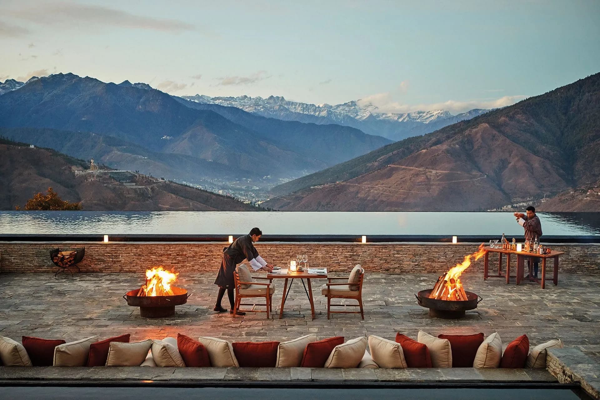 JourneyThe signature-tier Bhutan journey — private knowledgeable guide, the most considered lodge curation, helicopter or charter between valleys, exclusive-use arrangements where the season allows.The signature-tier Bhutan journey. Private knowledgeable guide, the most considered lodges, helicopter or PC-24 charter, exclusive-use arrangements. By invitation, from USD 14,000.
 JourneyTen nights for the Buddhist pilgrim — the principal sites, with monastic context.A ten-night Bhutan Buddhist pilgrimage for Asian-Buddhist travellers. Monastic context; matched monastic-trained guide; Bumthang religious circuit.
Journeys that visit Pele La
Frequently asked
- Why is Pele La significant?
- It is the pass over the Black Mountains that marks the traditional boundary between western and central Bhutan — the threshold a journey crosses to reach Trongsa, Bumthang, and the east. The Black Mountains form a natural divide across the country, and Pele La, at 3,420 metres, is the road's way over it.
- What will I see at the pass?
- A high, often misty saddle marked by a chorten and streaming prayer flags, open slopes of dwarf bamboo grazed by yaks, and — in spring — rhododendron in bloom. The pass lies within Jigme Singye Wangchuck National Park, one of Bhutan's least-disturbed wildernesses. The atmosphere is brooding and austere, quite unlike the bright western valleys.
- Is there anything to do at Pele La?
- It is a passing landmark rather than a destination — a few minutes among the prayer flags in the high cold air, to take in the pasture and the threshold-of-central-Bhutan feeling. Just beyond lies the Chendebji Chorten on the way to Trongsa. The branch road to the Phobjikha valley and its winter cranes also leaves the highway near the pass.