The entry-level multi-day trek
Druk Path Trek — four days, Paro to Thimphu over the ridge, the alpine-lake landscape and the substantial first taste of Bhutanese trekking.
The Druk Path Trek crosses the ridge between Paro and Thimphu in four walking days, passing three high-altitude lakes — Jimilang Tsho, Janey Tsho, and Simkota Tsho — and a substantial expanse of dwarf-rhododendron and juniper alpine meadow. The trek is the principal entry-level multi-day option for visitors who want a substantial Himalayan trekking experience without the demanding altitude or duration of the Chomolhari or Snowman routes.
- Duration
- 4 days
- Max altitude
- 4,200 m
- Difficulty
- moderate
- Distance
- 60 km
- Region
- Paro, Thimphu
- Trailhead
- Ta Dzong, Paro (2,500 m) — the old watchtower dzong above the principal Paro valley, now housing the National Museum of Bhutan
- Trail end
- Motithang, Thimphu (2,400 m)
- Best months
- March · April · May · September · October · November
- Walk type
- trek
The route, in brief
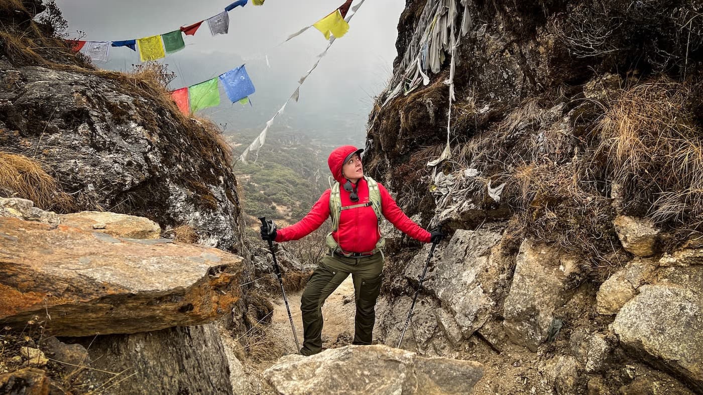
The trek begins at the Ta Dzong (the Paro National Museum) above the principal Paro valley, climbs through pine and rhododendron forest to Jele Dzong (3,480m) on the ridge, traverses the high ridge with a lunch stop at the Jangchulakha meadow before reaching the Jimilang Tsho lake camp, continues past Janey Tsho to the Simkota Tsho camp, and descends past Phajoding monastery to Motithang on the western edge of Thimphu. Four walking days, three trail nights — point-to-point Paro to Thimphu — which gives the trek its directional satisfaction.
What makes the Druk Path distinctive
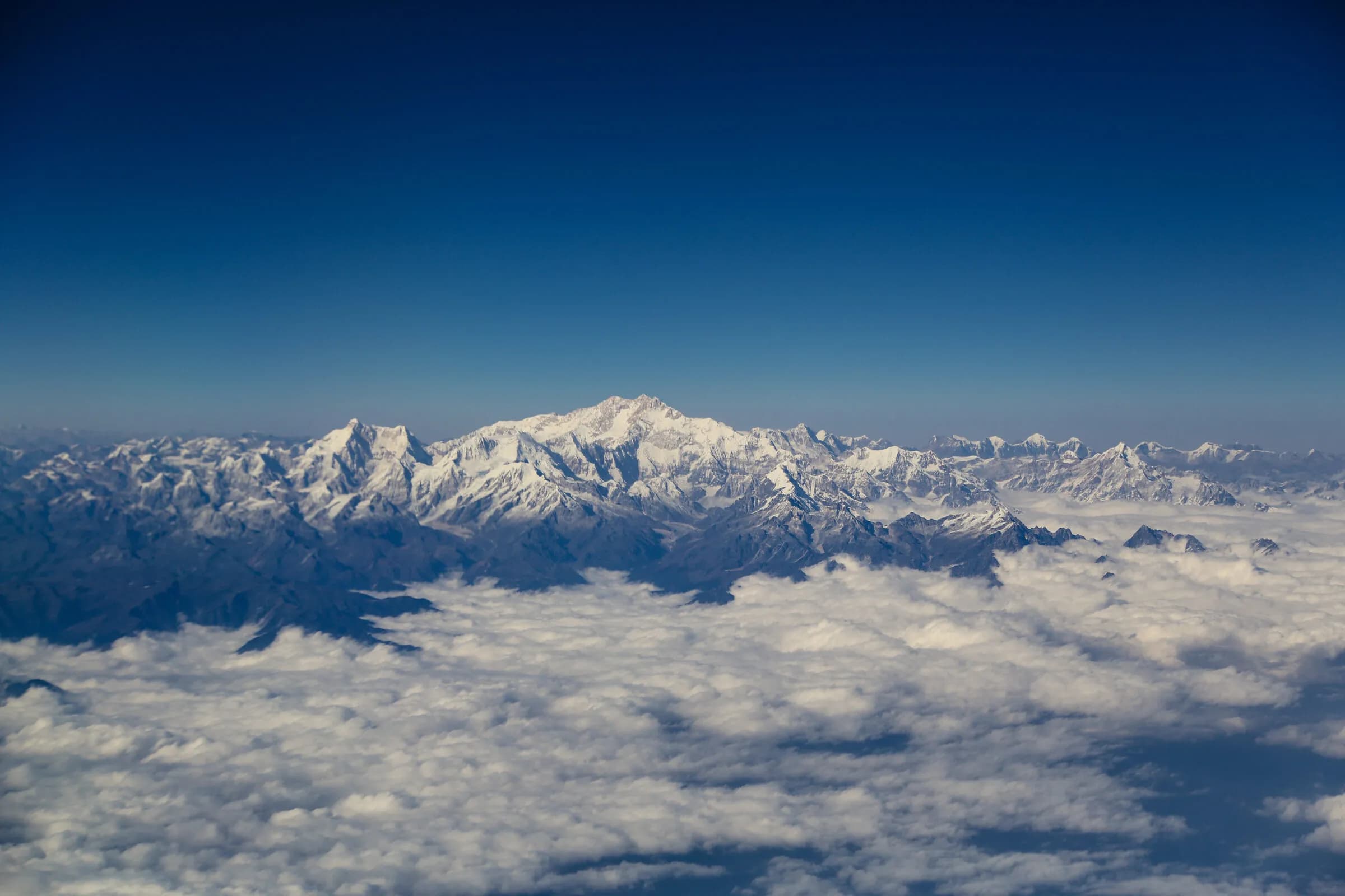
Three things. The lakes — three glacial lakes (Jimilang Tsho, Janey Tsho, Simkota Tsho) set in alpine meadow, with the Phobjikha-style dwarf-bamboo character that the high western ridges share. The morning at the Jimilang Tsho lake camp is the trek's photographic peak. The ridge views — the high ridge opens the panorama north to Chomolhari and the broader Himalayan range; clear October mornings give the panorama in full. The Phajoding monastery descent — the final day passes through the Phajoding goemba complex (a Drukpa Kagyu retreat centre at 3,640m above Thimphu) on the way down to Motithang. The combined effect is a four-day introduction to Bhutanese trekking that feels substantial without the altitude commitment of Chomolhari or Snowman.
Difficulty, season, and the realistic profile
The trek is moderate — the maximum altitude is approximately 4,200 metres on the ridge above Phajoding (Day 4), and the daily distances are around 15 km on well-defined trail. The principal challenge is altitude on the middle two days, where the camps sit at 3,870–4,100 metres. Pre-trek conditioning over 6–8 weeks is the typical preparation; a reasonably-fit walker can complete the trek comfortably. The trek operates across the broadest seasonal window of any Bhutanese multi-day route — March through November with weather-windows. The two principal seasons are April-May (spring rhododendron) and October-November (autumn clarity).
Day by day
- Day 1
Ta Dzong to Jele Dzong
3,480 m · 14 km · 6 h walking
Trailhead at the Ta Dzong — the old watchtower dzong above Paro that now houses the National Museum. Steady climb through pine and rhododendron forest to the ridge, with Jele Dzong (a small Drukpa Kagyu fort) at the top. Camp adjacent to the dzong.
- Day 2
Jele Dzong to Jimilang Tsho
3,870 m · 15 km · 7 h walking
Ridge traverse with the principal northern panorama — Chomolhari and Jichu Drake on clear mornings. Lunch stop at the open Jangchulakha meadow. Camp at Jimilang Tsho, the first of the three lakes on the route.
- Day 3
Jimilang Tsho to Simkota Tsho
4,100 m · 15 km · 7 h walking
Walk along the ridge past Janey Tsho — the second lake — to the Simkota Tsho camp at approximately 4,100 metres. The highest camp of the trek.
- Day 4
Simkota Tsho to Thimphu
4,200 m · 16 km · 8 h walking
Climb from Simkota Tsho to the ridge above Phajoding (approximately 4,200 metres, the day's high point), then long descent past Phajoding monastery (3,640m) and through the pine forest above Motithang to the trail-end on the western edge of Thimphu.
Before you go
- Season
- The widest seasonal window of any Bhutanese multi-day trek. March-May is the spring rhododendron window; October-November is the autumn clear-sky window. June-September is monsoon (possible but rainy); December-February the high camps are cold but the route remains generally accessible in clear-weather windows.
- Fitness
- Moderate. Four trekking days averaging around 15 km on well-defined trail; the Day-4 ridge above Phajoding at approximately 4,200 metres is the high point of the route. The terrain is well-defined throughout; the principal challenge is altitude (the middle two camps sit at 3,870–4,100m). Pre-trek conditioning over 6–8 weeks is the typical preparation. Worth noting: the route is designed for four walking days at the considered Bhutanese trekking pace; experienced trail runners have completed the full Druk Path in a single day, run in the reverse direction (Motithang to Paro) — see our Druk Path Run product for the guided single-day expression.
- Combine with
- The Druk Path Trek slots well into a 10–12 day Bhutanese itinerary. The directional ending in Thimphu gives a natural transition into the central-Bhutan valleys (Punakha, Phobjikha, Bumthang). Common combination: 2–3 days Paro acclimatisation → 4-day Druk Path → recovery in Thimphu → onward to Punakha and Phobjikha or Bumthang.
- Accommodation
- Camp only — three nights on the trail in expedition-grade insulated tent camps (Jele Dzong, Jimilang Tsho, Simkota Tsho). Hot food at every camp, full crew (porter, cook, trek leader). Pre- and post-trek lodge nights in Paro and Thimphu typically bracket the trail, giving a 5-night total trip.
Monuments on the route
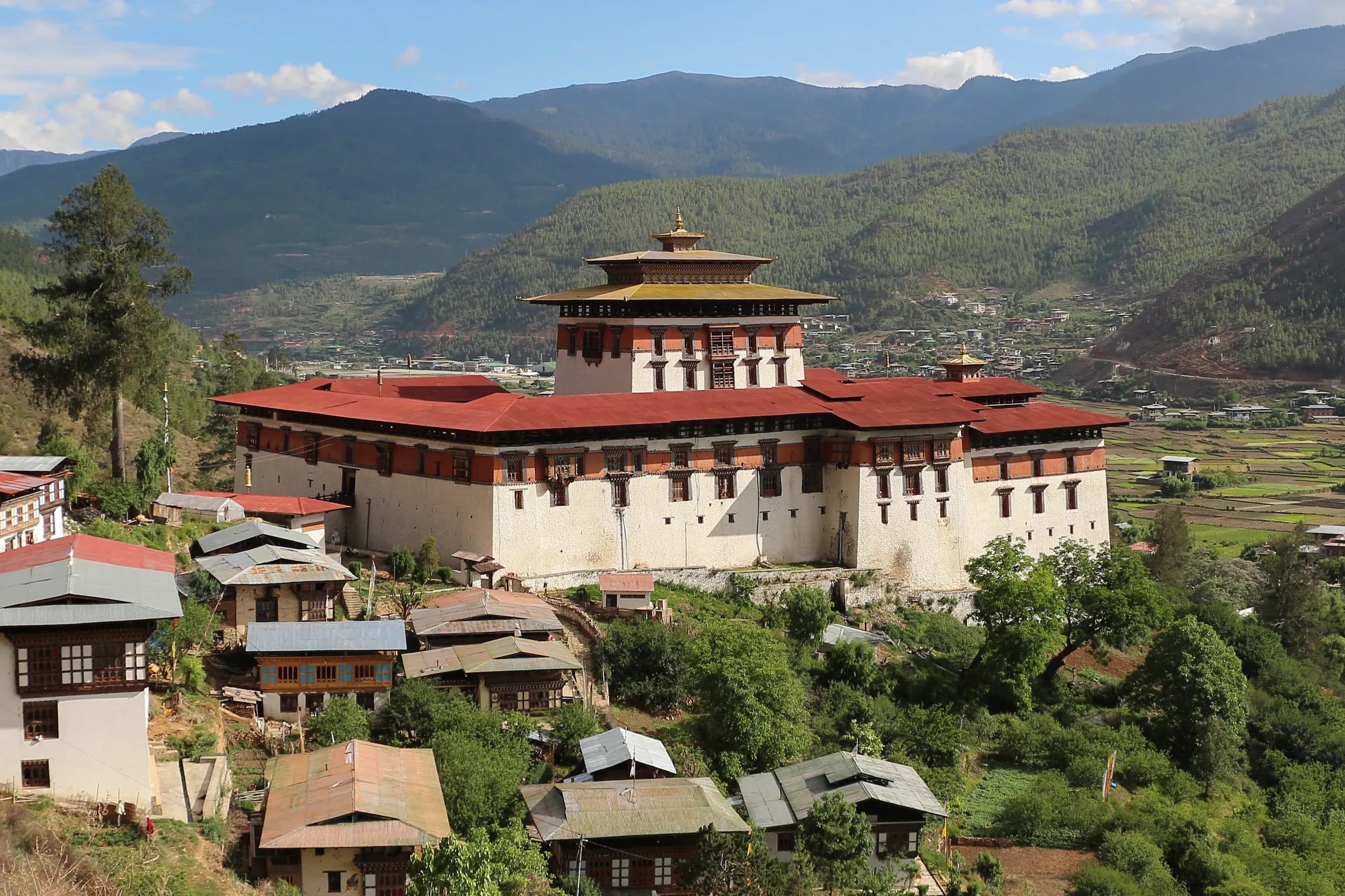 MonumentRinpung Dzong — 'the fortress on a heap of jewels,' the architectural masterpiece of the Paro valley.Rinpung Dzong (Paro Dzong) — the heap of jewels, founded 1644. History, architecture, visiting, the Paro Tshechu venue.
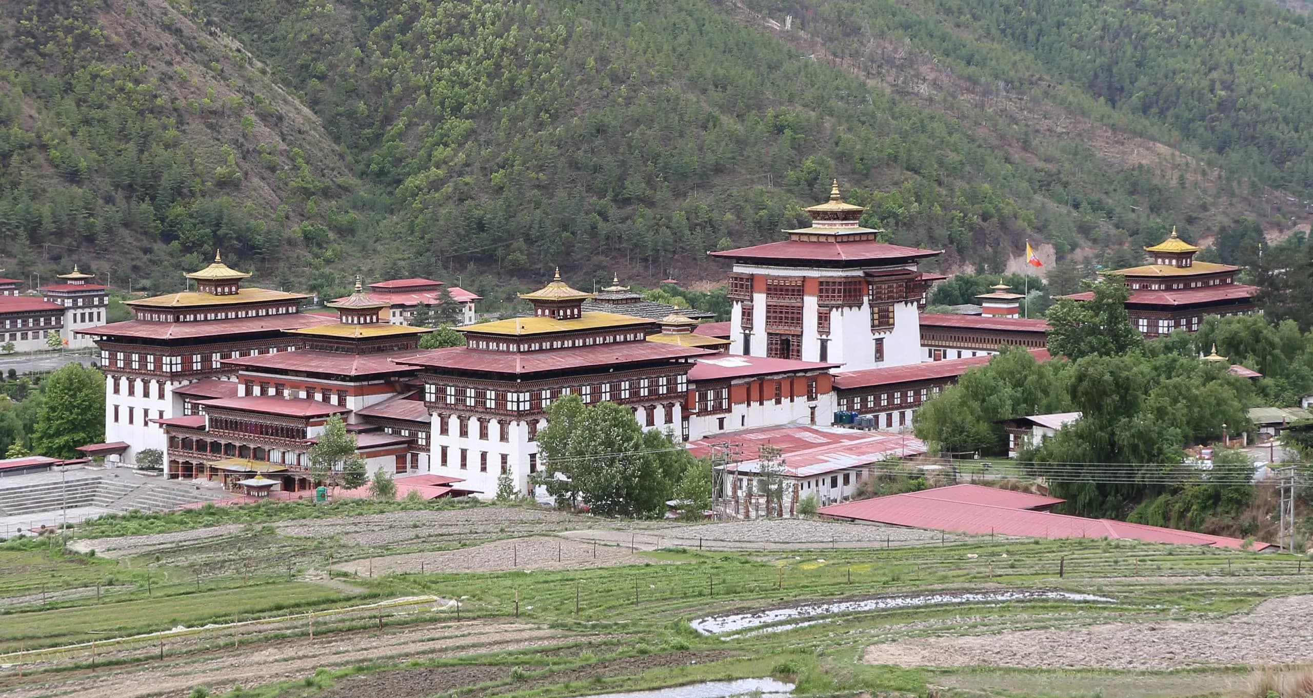 MonumentTashichho Dzong — the fortress of the auspicious religion, at the heart of Thimphu.Tashichho Dzong — the seat of Bhutan's central government and Je Khenpo summer residence in Thimphu. History, architecture, visiting.
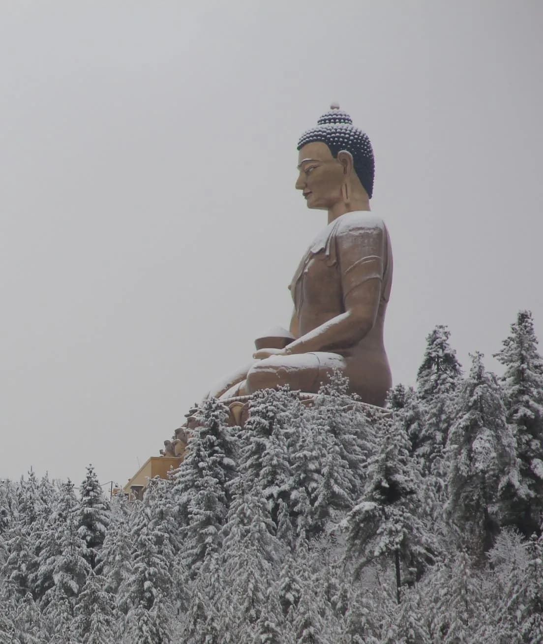 MonumentBuddha Dordenma — the great gold-plated Shakyamuni, fulfilling an 8th-century prophecy of Guru Rinpoche.Buddha Dordenma — the 51.5-metre seated Buddha above Thimphu. The prophecy, the construction, the 125,000 smaller Buddhas inside. Visiting.
Festivals nearby
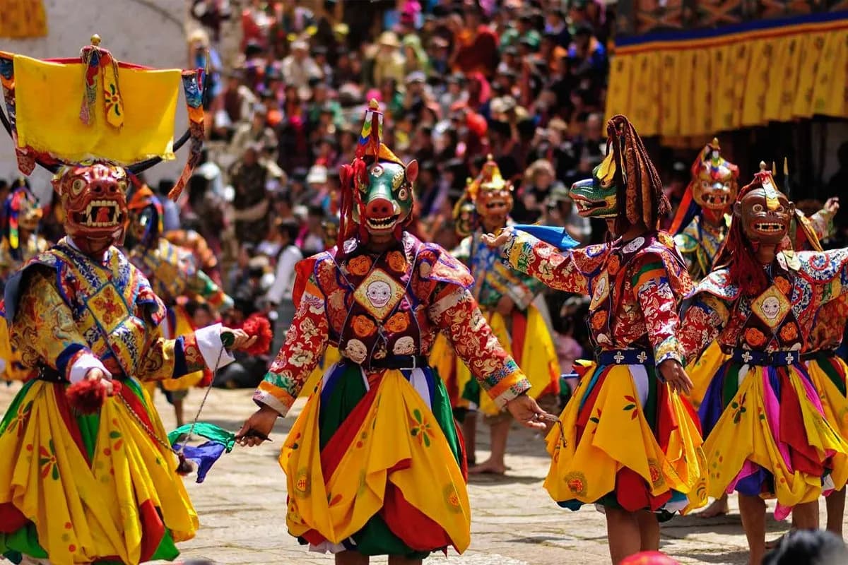 FestivalParo Tshechu — five days at Rinpung Dzong, with the pre-dawn thongdrel.Paro Tshechu — the principal spring festival at Rinpung Dzong. This year's dates, the programme, the pre-dawn thongdrel, what to expect for international visitors.
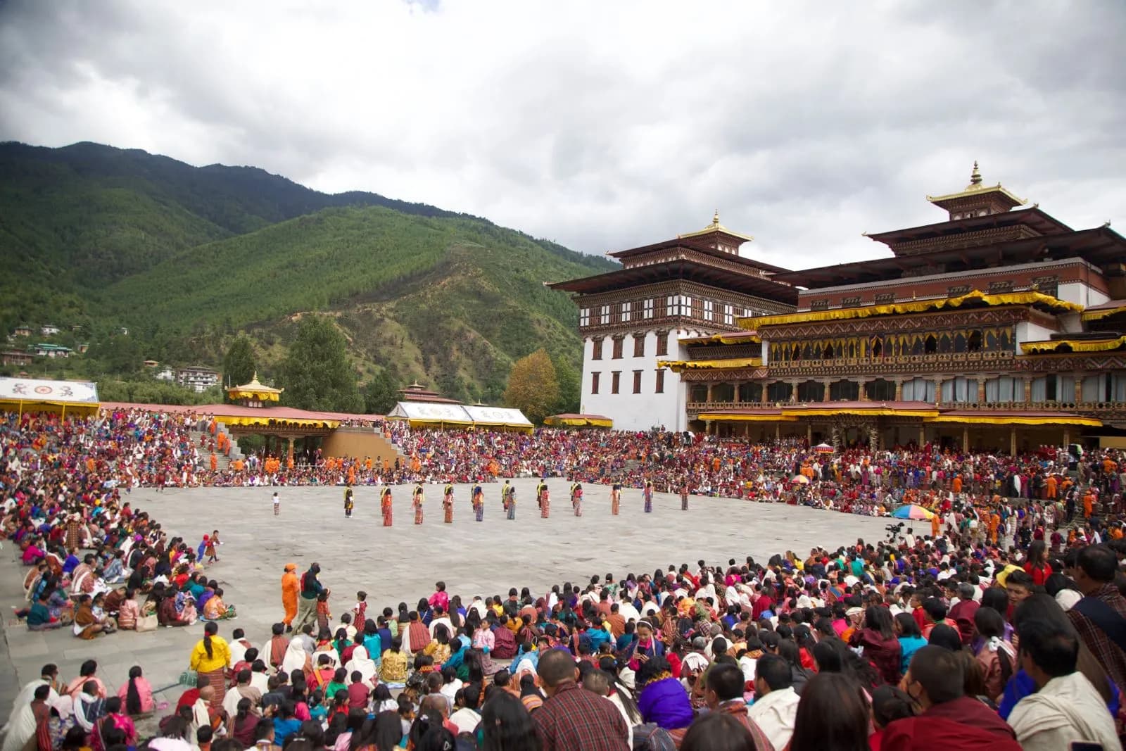 FestivalThimphu Tshechu — three days at Tashichho Dzong, the largest attendance of any Bhutanese festival.Thimphu Tshechu — the autumn festival at Tashichho Dzong, capital of Bhutan. This year's dates, the programme, what to expect as an international visitor.
Journeys around this trek
- JourneyThe Druk Path Trek — Paro to Thimphu, over the ridge.A private Druk Path Trek between Paro and Thimphu — the classic ridgeline route past Jimilang Tsho and Simkota Tsho, camped with a full crew. Eight nights, bookended by Tiger's Nest.
- JourneySeven nights in Bhutan, on foot — light treks from Sydney.A seven-night Bhutan light-trek journey from Sydney — first half-day trails, comfortable lodges, a guide who paces the day to you.
Journeys that visit Druk Path Trek
Frequently asked
- Is the Druk Path Trek difficult?
- Moderate. Four walking days averaging around 15 km on well-defined trail; max altitude approximately 4,200 metres on the ridge above Phajoding (Day 4, between the Simkota Tsho camp and the descent to Phajoding). The principal challenge is altitude — the middle two camps sit at 3,870–4,100 metres. Pre-trek conditioning over 6–8 weeks is the typical preparation. The trek is widely held as the most-accessible serious multi-day route in Bhutan.
- Can I do the Druk Path with no prior trekking experience?
- Yes, with proper preparation. The Druk Path is one of the most-accessible multi-day treks in Bhutan, and many first-time multi-day trekkers complete it comfortably. The altitude — not the terrain — is the principal challenge. We build a 2-day Paro acclimatisation profile before the trek begins.
- What's the best month for the Druk Path?
- Late April-early May catches the spring rhododendron bloom (the lower trail through the rhododendron forest is the photographic peak). Late October-early November catches the autumn clear-sky window with the clearest Himalayan views from the ridge. October is, in our view, the single best month — dry, clear, cool, with the Chomolhari panorama at its most reliable.
- Will I see the Himalayan panorama?
- On clear days, yes — the ridge days (Days 2 and 3) give the northern panorama including Chomolhari (7,326 m), Jichu Drake (6,989 m), and on exceptional days the Gangkhar Puensum range. October mornings before 10 a.m. give the most-reliable panorama; afternoon cloud builds across the day.
- What's the Phajoding monastery?
- Phajoding is a Drukpa Kagyu retreat centre at 3,640 metres above Thimphu — a complex of small temples and monks' cells founded by the great Drukpa master Phajo Drugom Zhigpo (the lineage's 13th-century founder in Bhutan). The Day 4 descent from Simkota Tsho passes through Phajoding on the way down to Motithang, giving the trek its religious-cultural closing register.