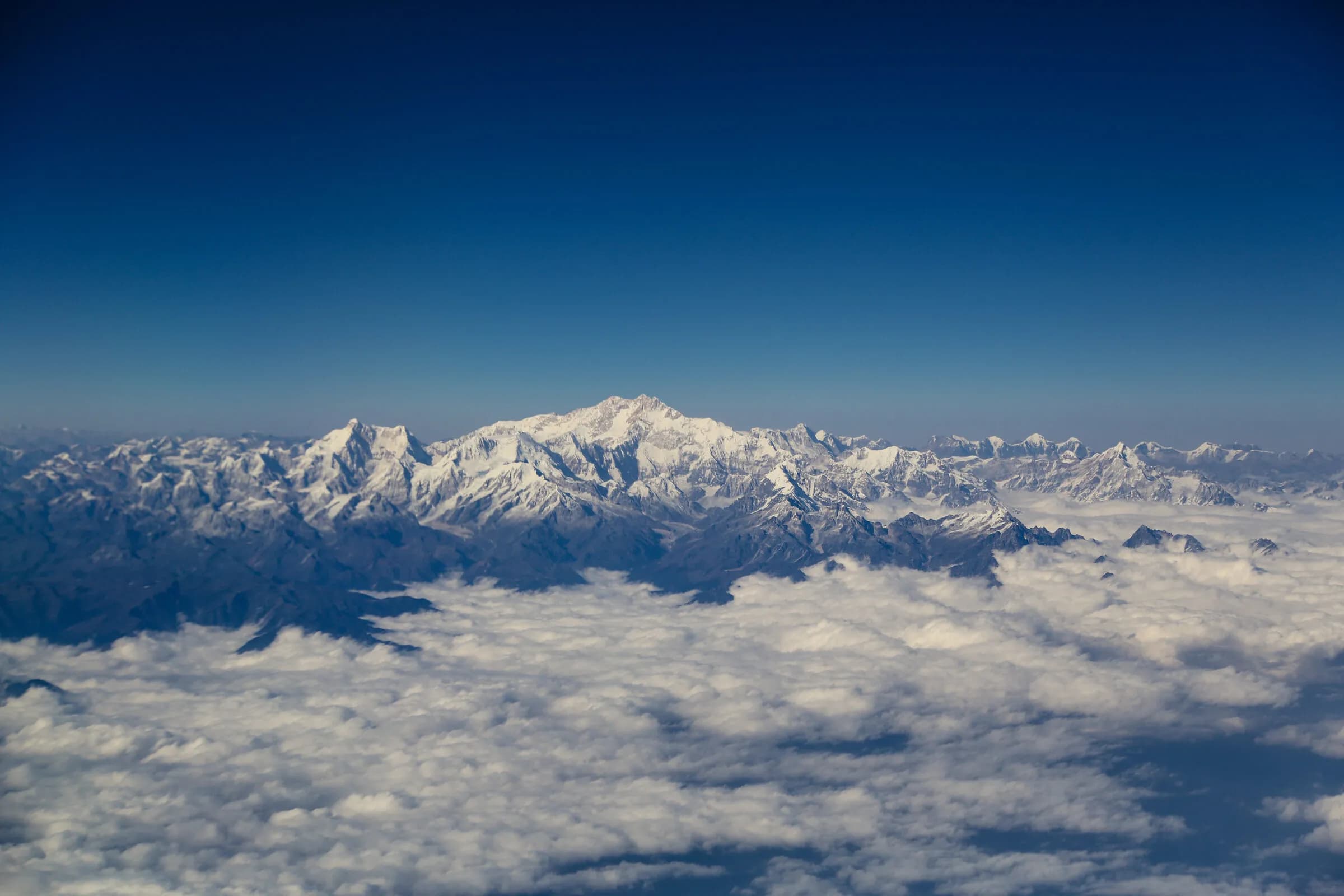
The most-demanding trek in the Himalaya
Snowman Trek — 23 days across the Lunana glaciers, eleven high passes, the high-altitude expedition the Bhutanese tradition still calls a pilgrimage.
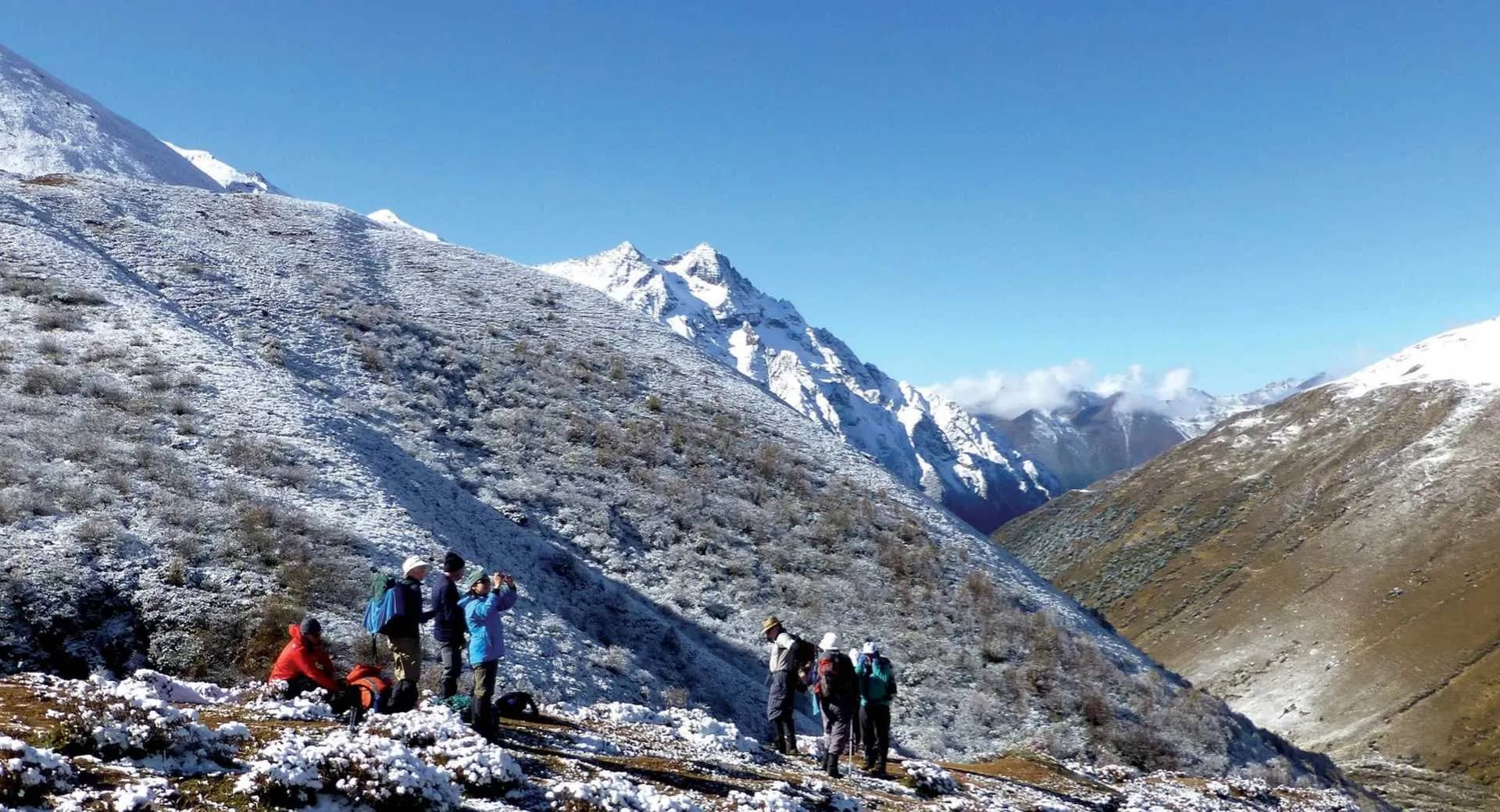
The Snowman Trek crosses the high north of Bhutan from Shana in the upper Paro valley (a 1-hour drive from Drukgyel Dzong on the now-motorable road), over eleven passes above 4,500 metres, through the glacial villages of Lunana, and out at Sephu in the Trongsa dzongkhag. Twenty-three trekking days; max altitude 5,320 metres; approximately 345 km on foot. It is held by experienced mountaineers to be one of the most-demanding treks in the broader Himalayan range, with a completion rate around 60% in any given season.
Also known as Lunana Snowman Trek · Lunana Trek
- Duration
- 23 days
- Max altitude
- 5,320 m
- Difficulty
- expedition
- Distance
- 346 km
- Region
- Paro, Gasa (Laya, Lunana), Wangdue Phodrang (Sephu)
- Trailhead
- Shana, upper Paro valley (2,870 m) — driven to from Drukgyel Dzong on the now-motorable road, approximately 1 hour
- Trail end
- Sephu, Wangdue Phodrang (2,700 m) — vehicle pickup, drive back to Punakha or Thimphu
- Best months
- June · September · October
- Walk type
- trek
The route, in brief
The trek begins at Shana in the upper Paro valley (driven from Drukgyel Dzong on the motorable road, approximately 1 hour), climbs the Chomolhari approach over the first four days (sharing the route with the standard Chomolhari and Chomolhari-Laya-Gasa treks), continues past the Lingshi yak-pastures into Laya, then turns north-east into Lunana — the highest inhabited valleys in Bhutan, where the Layap and Lunap communities have farmed yaks and barley at 4,000–4,500 metres for centuries. The Lunana days cross five major passes in succession — Karchung La (5,120m), Gangla Karchung La (5,080m), Saga La (5,320m, the trek's highest point), Jaze La (5,150m), and the descent passes Rinchen Zoe La and Thampe La — before the long descent to Sephu through the Nika Chhu valley.
Why the Snowman is the Snowman
The trek's reputation rests on three combined factors. The altitude — eleven passes above 4,500 metres, multiple days above 4,000 metres — leaves no margin for poor acclimatisation. The remoteness — between Days 10 and 20 the closest motorable road is several days' walk; rescue is by helicopter only and weather-dependent. The weather — the high passes are weather-vulnerable, and snow on any of the four highest passes can close the route for the season. The Bhutanese tradition still treats the route as a pilgrimage; the Lunana villages remain among the most-isolated inhabited communities in the broader Himalayan region.
Preparation and the realistic profile
The realistic candidate has prior multi-day high-altitude trekking experience (typically the Everest Base Camp circuit, the Annapurna Circuit, or the equivalent), maintains a cardiovascular base in the months preceding, and treats the trek as a commitment of physical and mental discipline. Pre-trek conditioning over 4–6 months — sustained hill walking with a 12 kg pack, three sessions per week minimum — is the typical preparation. The trek is supported by a porter-and-yak crew (yaks carry the principal load above the Lingshi grazing range), a cook team, and a experienced trek leader with high-altitude rescue training. The completion rate is around 60% in any given season; weather, altitude sickness, and minor injury are the principal reasons for withdrawal.
Day by day
- Day 1
Shana to Thangthangkha
3,610 m · 22 km · 8 h walking
Driven from Drukgyel Dzong to Shana on the motorable road (~1 hour). Climb through rhododendron forest; the upper valley opens to alpine meadows. Camp at Thangthangkha.
- Day 2
Thangthangkha to Jangothang
4,080 m · 19 km · 6 h walking
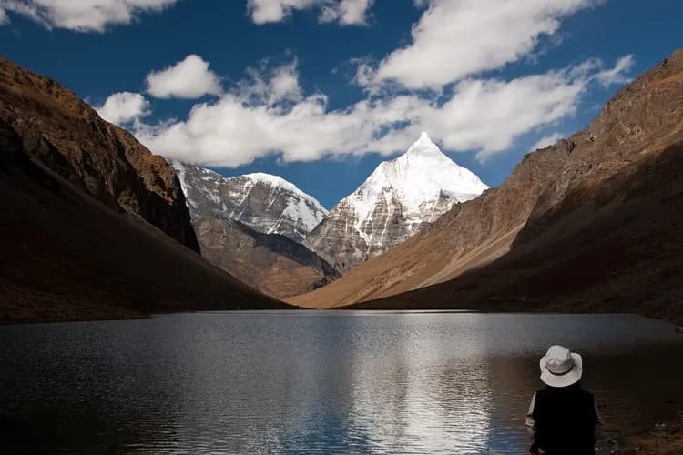
Reach Jangothang base camp; the first full view of Chomolhari (7,326 m) directly above.
- Day 3
Jangothang — acclimatisation day
4,080 m
Rest day at Jangothang. Short acclimatisation walk to the Tsophu lakes or up the Chomolhari ridge.
- Day 4
Jangothang to Lingshi via Nyile La
4,890 m · 22 km · 8 h walking
Climb to Nyile La (4,890m), descent to Lingshi (the principal village of the high north).
- Day 5
Lingshi to Chebisa
3,990 m · 12 km · 5 h walking
Gentle traverse to the Chebisa village; a notable waterfall above the camp.
- Day 6
Chebisa to Shomuthang via Gobu La
4,440 m · 17 km · 7 h walking
Climb to Gobu La (4,440m), long descent to Shomuthang.
- Day 7
Shomuthang to Robluthang via Jare La
4,750 m · 18 km · 8 h walking
Cross Jare La (4,750m); descend to Robluthang in the upper Mochu valley.
- Day 8
Robluthang to Limithang via Sinche La
5,005 m · 19 km · 8 h walking
Sinche La (5,005m), the first 5,000m pass of the trek.
- Day 9
Limithang to Laya
3,800 m · 10 km · 5 h walking
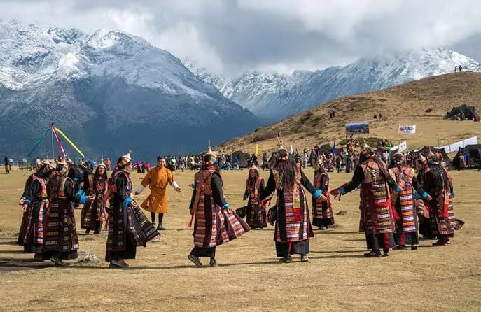
Long descent into the Layap yak-herding community. Hot food, traditional dancing in the evening.
- Day 10
Laya — rest day
3,800 m
Rest, laundry, supply reorganisation. Visit the Layap village houses and the lhakhang.
- Day 11
Laya to Rodophu
4,160 m · 19 km · 7 h walking
Climb east out of the Layap valley toward the Lunana approach.
- Day 12
Rodophu to Narethang via Tsemo La
4,900 m · 17 km · 7 h walking
Cross Tsemo La (4,900m); reach the high alpine camp at Narethang.
- Day 13
Narethang to Tarina via Karchung La
5,120 m · 18 km · 8 h walking
Karchung La (5,120m); descend to Tarina in the upper Pho Chhu valley.
- Day 14
Tarina to Woche
3,940 m · 17 km · 7 h walking
Descent to the first Lunana village; the principal cultural encounter of the Lunap community.
- Day 15
Woche to Lhedi via Keche La
4,650 m · 17 km · 7 h walking
Keche La (4,650m); cross into the central Lunana valleys.
- Day 16
Lhedi to Thanza
4,180 m · 17 km · 7 h walking
Reach Thanza — the largest of the Lunana villages.
- Day 17
Thanza — rest day
4,180 m
Rest day. Visit Thanza's lhakhang; short walks around the glacial lakes.
- Day 18
Thanza to Tshochena via Jaze La
5,150 m · 22 km · 9 h walking
Cross Jaze La (5,150m); high glacial-lake landscape.
- Day 19
Tshochena to Jichu Dramo via Saga La
5,320 m · 14 km · 7 h walking
Saga La (5,320m) — the trek's highest point. Long descent.
- Day 20
Jichu Dramo to Chukarpo
4,400 m · 19 km · 8 h walking
Steady descent into the upper Nika Chhu valley.
- Day 21
Chukarpo to Thampe Tsho via Rinchen Zoe La
5,050 m · 15 km · 6 h walking
Rinchen Zoe La (5,050m); camp by the sacred Thampe Tsho lake.
- Day 22
Thampe Tsho to Maurothang via Thampe La
4,580 m · 14 km · 7 h walking
Thampe La (4,580m) — the final high pass. Long descent into the forested valleys.
- Day 23
Maurothang to Sephu
2,700 m · 18 km · 7 h walking
Forest descent to the trail-end at Sephu on the Nika Chhu. Vehicle pickup; drive back to Punakha or Thimphu.
Before you go
- Season
- Two narrow windows. October is the dry-clear-cool autumn window, the safest and most-attempted month. June catches the post-winter, pre-monsoon shoulder — possible but weather-uncertain. The trek cannot be safely attempted November through May (winter snow on the passes) or July through August (monsoon).
- Bookings
- We book the Snowman as a minimum 12-month-advance commitment. The route requires Royal Government permits, a experienced trek leader, a full porter-and-yak crew, and the supply chain to deliver food across the 23 days. Two or three departures a year is our maximum capacity; book early.
- Fitness and acclimatisation
- Prior high-altitude multi-day trekking experience required (Everest Base Camp, Annapurna Circuit, or equivalent). Pre-trek conditioning over 4–6 months — sustained hill walking with a 12 kg pack, three sessions per week — is the typical preparation. We build a Paro acclimatisation profile of 3 nights before the trek begins.
- The completion-rate reality
- Around 60% of trekkers complete the full route in any given season. Withdrawal is most common between Days 7 and 12 (the altitude-shock window after Nyile La and Sinche La). Helicopter rescue is available and weather-dependent; we maintain satellite communication with the trek leader throughout. Withdrawal at any point is honoured without question — the trek is demanding and unfinished attempts remain a valuable Himalayan experience.
Monuments on the route
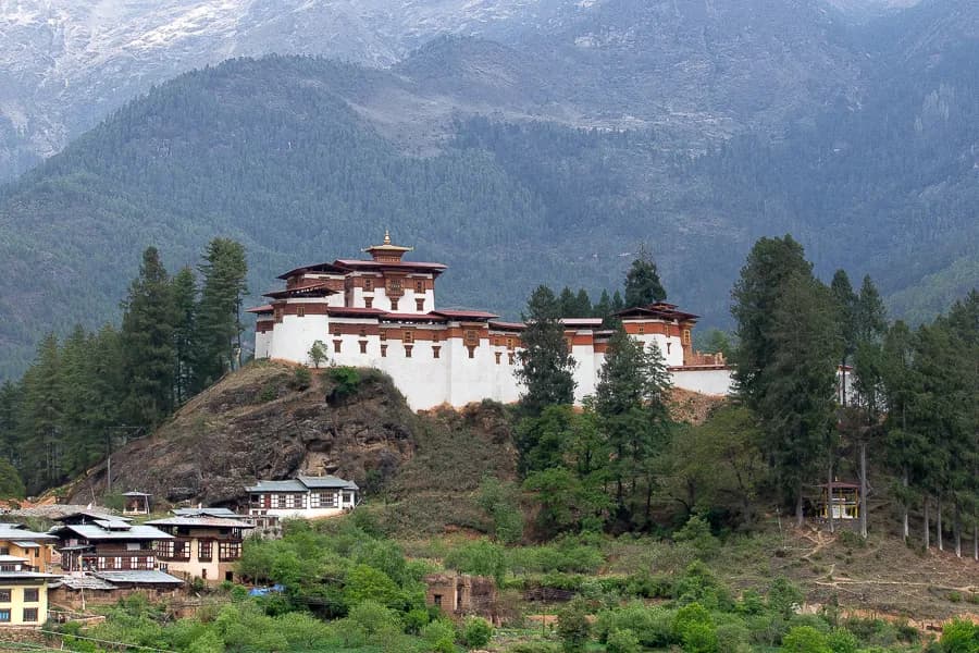 MonumentDrukgyel Dzong — the 1649 victory fortress, ruined by fire in 1951, under restoration since 2016.Drukgyel Dzong — the 1649 Bhutanese victory fortress, ruined by fire 1951, under restoration. The Chomolhari panorama and visiting.
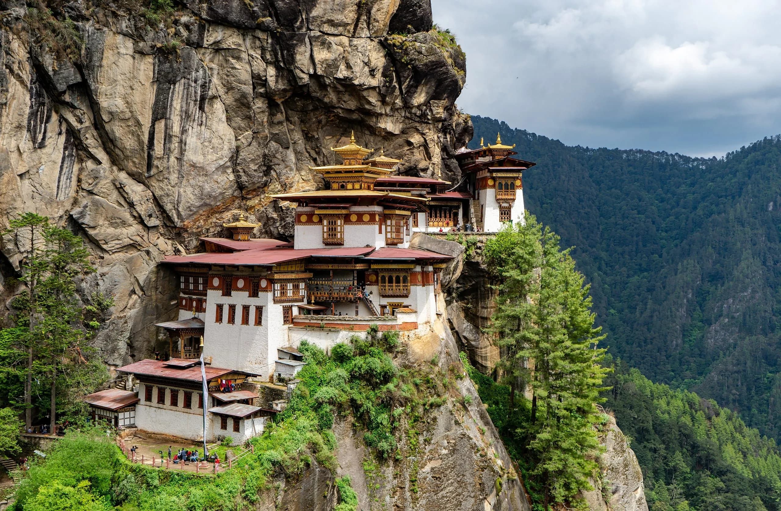 MonumentParo Taktsang — Guru Rinpoche's meditation cave, perched at 3,120 metres on the cliff above the Paro valley.Paro Taktsang (Tiger's Nest) — the founding by Guru Rinpoche, the 1692 monastery, the 2-hour hike, what to know before you visit.
Festivals nearby
Journeys around this trek
- JourneyThe Snowman — Laya to Lunana to Bumthang, on foot.The 28-night Bhutan Snowman Trek — 11 high passes, sustained altitude, the country's most demanding traverse. June–September monsoon window only.
 JourneyThe Chomolhari Base Camp trek, paced for the autumn window.A fourteen-night Bhutan Chomolhari Trek itinerary in the autumn clear-sky window. Five days at altitude, premium lodges either side, named trekking guides.
Journeys that visit Snowman Trek
Frequently asked
- How difficult is the Snowman Trek?
- Expedition-grade. Twenty-three trekking days, eleven passes above 4,500 metres, max altitude 5,320 metres, approximately 345 km on foot at around 15 km a day on active days. The trek is widely held to be among the most-demanding in the broader Himalayan range, with a completion rate around 60% in any given season. Prior high-altitude multi-day trekking experience is required.
- What's the best time to do the Snowman Trek?
- October is the principal window — dry, clear, cool, and weather-stable. June catches the pre-monsoon shoulder and is possible but weather-uncertain. The trek cannot be safely attempted in winter (November–May, snow on the passes) or monsoon (July–August).
- Can I do part of the Snowman Trek instead of the full route?
- Yes — the first 6–8 days share the route with the standard Chomolhari Trek and the Chomolhari-Laya-Gasa Trek. If full-Snowman commitment isn't feasible, the Laya-Gasa configuration (13 trekking days, exiting via Gasa) gives a cross-Himalayan experience with lower risk.
- What does the Snowman Trek cost?
- The Snowman is a premium-tier expedition product. The Royal Government's trekking permits, the Sustainable Development Fee across the trek, the porter-and-yak crew, the cook team, the experienced trek leader, the satellite communication, and the helicopter-rescue contingency together produce a price in the high-USD-5-figure range per traveller for a small-group departure. Begin a proposal through our concierge for a precise quote.
- Will I see Chomolhari?
- Yes — the first six days share the Chomolhari approach, with the Jangothang base camp providing one of the most direct views of Chomolhari (7,326 m) in the Bhutanese trekking landscape. The trek continues well past the Chomolhari ridge into the Lunana glacial valleys.